4849 Winterson Ct Doylestown, PA 18902
Estimated Value: $796,394 - $864,000
4
Beds
3
Baths
2,880
Sq Ft
$289/Sq Ft
Est. Value
About This Home
This home is located at 4849 Winterson Ct, Doylestown, PA 18902 and is currently estimated at $832,349, approximately $289 per square foot. 4849 Winterson Ct is a home located in Bucks County with nearby schools including Cold Spring Elementary School, Holicong Middle School, and Central Bucks High School - East.
Ownership History
Date
Name
Owned For
Owner Type
Purchase Details
Closed on
Jan 24, 1997
Sold by
Barnside Development Company Ltd Prtnrsh
Bought by
Menon Suresh and Menon Devki
Current Estimated Value
Home Financials for this Owner
Home Financials are based on the most recent Mortgage that was taken out on this home.
Original Mortgage
$197,700
Outstanding Balance
$22,430
Interest Rate
7.6%
Estimated Equity
$809,919
Create a Home Valuation Report for This Property
The Home Valuation Report is an in-depth analysis detailing your home's value as well as a comparison with similar homes in the area
Home Values in the Area
Average Home Value in this Area
Purchase History
| Date | Buyer | Sale Price | Title Company |
|---|---|---|---|
| Menon Suresh | $219,700 | -- |
Source: Public Records
Mortgage History
| Date | Status | Borrower | Loan Amount |
|---|---|---|---|
| Open | Menon Suresh | $197,700 |
Source: Public Records
Tax History
| Year | Tax Paid | Tax Assessment Tax Assessment Total Assessment is a certain percentage of the fair market value that is determined by local assessors to be the total taxable value of land and additions on the property. | Land | Improvement |
|---|---|---|---|---|
| 2025 | $7,196 | $44,200 | $12,440 | $31,760 |
| 2024 | $7,196 | $44,200 | $12,440 | $31,760 |
| 2023 | $6,952 | $44,200 | $12,440 | $31,760 |
| 2022 | $6,869 | $44,200 | $12,440 | $31,760 |
| 2021 | $6,787 | $44,200 | $12,440 | $31,760 |
| 2020 | $6,787 | $44,200 | $12,440 | $31,760 |
| 2019 | $6,743 | $44,200 | $12,440 | $31,760 |
| 2018 | $6,743 | $44,200 | $12,440 | $31,760 |
| 2017 | $6,687 | $44,200 | $12,440 | $31,760 |
| 2016 | $6,754 | $44,200 | $12,440 | $31,760 |
| 2015 | -- | $44,200 | $12,440 | $31,760 |
| 2014 | -- | $44,200 | $12,440 | $31,760 |
Source: Public Records
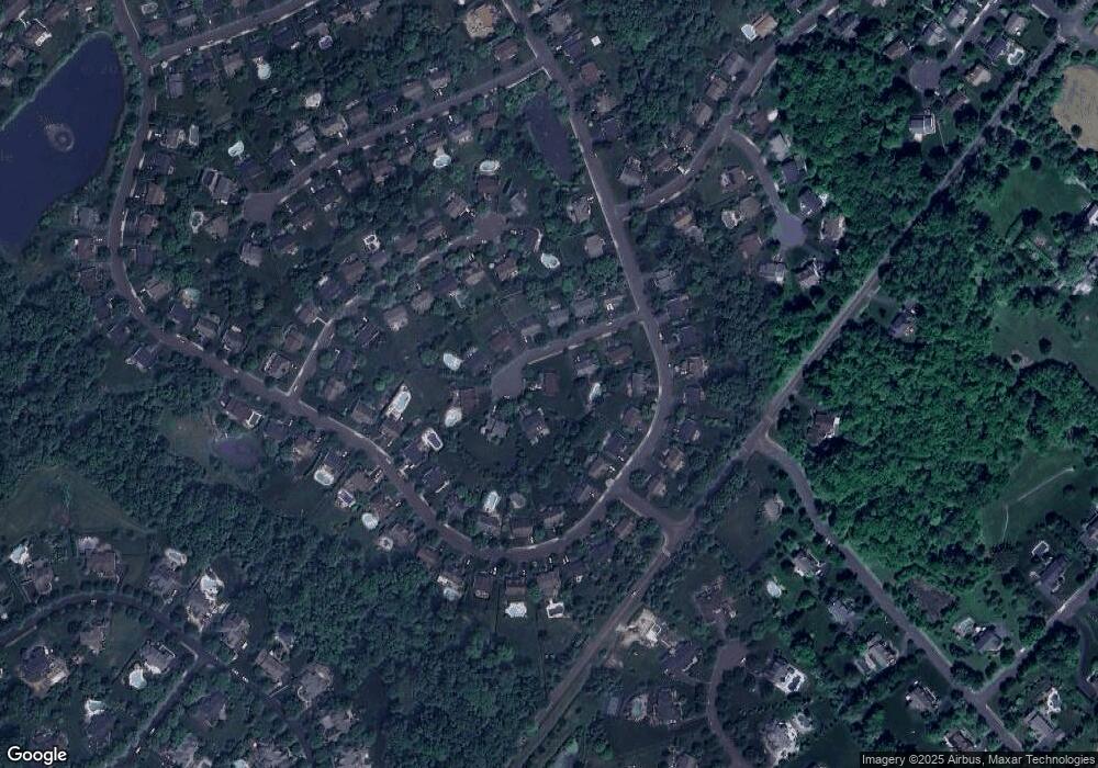
Map
Nearby Homes
- 4848 Tall Oak Ct
- 3689 Hancock Ln
- 4928 Edgewood Rd
- 4672 Woodfield Cir
- 4925 Redfield Rd
- 4533 Deep Creek Way
- 3468 Holicong Rd
- 4190 Milords Ln
- 5491 Long Ln
- 4245 Mechanicsville Rd
- 3660 Buttonwood Dr
- 6185 Mechanicsville Rd
- 2918 Snake Hill Rd
- 2798 Forge Place
- 3979 Landisville Rd
- 4525 Deep Glen Way
- 4964 Point Pleasant Pike
- 5182 Point Pleasant Pike
- 5025 Anderson Rd
- 6680 Point Pleasant Pike
- 4839 Winterson Ct
- 4855 Winterson Ct
- 4852 Winterson Ct
- 4846 Winterson Ct
- 4858 Winterson Ct
- 4835 Winterson Ct
- 3682 E Brandon Way
- 3688 E Brandon Way
- 4867 Winterson Ct
- 3684 E Brandon Way
- 4864 Winterson Ct
- 4838 Winterson Ct
- 3677 E Brandon Way
- 4834 Winterson Ct
- 3679 W Brandon Way
- 3898 Crosspoint Dr
- 4868 Winterson Ct
- 4865 Green Heather Ct
- 3681 W Brandon Way
- 4857 Green Heather Ct