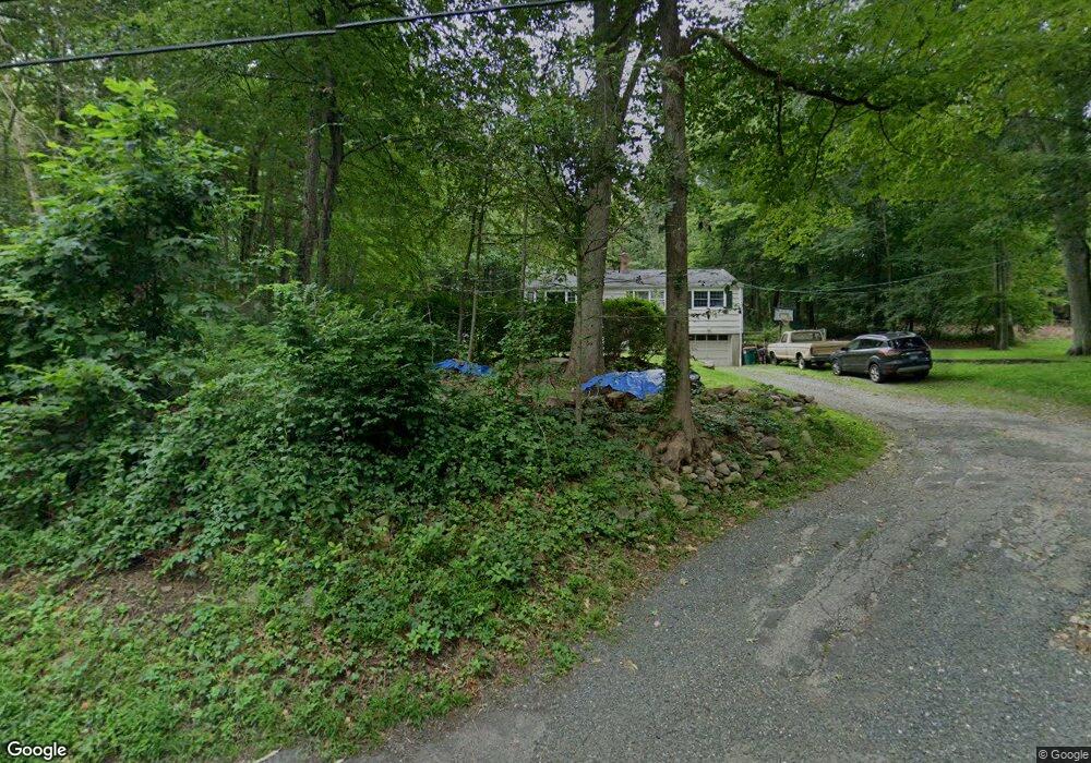
485 Black Rock Turnpike Redding, CT 06896
Estimated Value: $513,000 - $631,000
3
Beds
1
Bath
1,092
Sq Ft
$511/Sq Ft
Est. Value
About This Home
This home is located at 485 Black Rock Turnpike, Redding, CT 06896 and is currently estimated at $557,653, approximately $510 per square foot. 485 Black Rock Turnpike is a home located in Fairfield County with nearby schools including Redding Elementary School, John Read Middle School, and Joel Barlow High School.
Ownership History
Date
Name
Owned For
Owner Type
Purchase Details
Closed on
Apr 20, 2017
Sold by
Basta Christopher
Bought by
Basta Dana
Current Estimated Value
Purchase Details
Closed on
Jul 24, 2002
Sold by
Kulowiec Lawrence A and Kulowiec Susan P
Bought by
Basta Christopher and Basta Dang
Home Financials for this Owner
Home Financials are based on the most recent Mortgage that was taken out on this home.
Original Mortgage
$252,000
Interest Rate
6.73%
Purchase Details
Closed on
Apr 14, 1993
Sold by
Boyan Gerard E and Boyan Emily F
Bought by
Kulowiec Lawrence A and Williams Susan P
Home Financials for this Owner
Home Financials are based on the most recent Mortgage that was taken out on this home.
Original Mortgage
$115,000
Interest Rate
7.39%
Mortgage Type
Unknown
Create a Home Valuation Report for This Property
The Home Valuation Report is an in-depth analysis detailing your home's value as well as a comparison with similar homes in the area
Home Values in the Area
Average Home Value in this Area
Purchase History
| Date | Buyer | Sale Price | Title Company |
|---|---|---|---|
| Basta Dana | -- | -- | |
| Basta Christopher | $315,000 | -- | |
| Kulowiec Lawrence A | $165,000 | -- |
Source: Public Records
Mortgage History
| Date | Status | Borrower | Loan Amount |
|---|---|---|---|
| Open | Kulowiec Lawrence A | $245,000 | |
| Previous Owner | Kulowiec Lawrence A | $252,000 | |
| Previous Owner | Kulowiec Lawrence A | $47,250 | |
| Previous Owner | Kulowiec Lawrence A | $115,000 |
Source: Public Records
Tax History Compared to Growth
Tax History
| Year | Tax Paid | Tax Assessment Tax Assessment Total Assessment is a certain percentage of the fair market value that is determined by local assessors to be the total taxable value of land and additions on the property. | Land | Improvement |
|---|---|---|---|---|
| 2025 | $8,345 | $282,500 | $154,000 | $128,500 |
| 2024 | $8,113 | $282,500 | $154,000 | $128,500 |
| 2023 | $7,822 | $282,500 | $154,000 | $128,500 |
| 2022 | $7,295 | $218,800 | $158,800 | $60,000 |
| 2021 | $7,185 | $218,800 | $158,800 | $60,000 |
| 2020 | $7,185 | $218,800 | $158,800 | $60,000 |
| 2019 | $17,896 | $218,800 | $158,800 | $60,000 |
| 2018 | $6,940 | $218,800 | $158,800 | $60,000 |
| 2017 | $6,549 | $221,100 | $159,100 | $62,000 |
| 2016 | $6,465 | $221,100 | $159,100 | $62,000 |
| 2015 | $6,392 | $221,100 | $159,100 | $62,000 |
| 2014 | $6,392 | $221,100 | $159,100 | $62,000 |
Source: Public Records
Map
Nearby Homes
- 194 Lonetown Rd
- 28 Sunnyview Dr
- 15 Bartram Dr
- 49 Starr Ln
- 193 Chestnut Ridge Rd
- 11 Marywood Rd
- 477 Newtown Turnpike
- 2 Longwood Dr
- 173 Chestnut Ridge Rd
- 145 Limekiln Rd
- 4 Stone Dam Rd
- 38 Aunt Pattys Ln W
- 22 Lonetown Rd
- 90 Old Stagecoach Rd
- 149 Chestnut Ridge Rd
- 241 Black Rock Turnpike
- 12 Canaan Dr
- 66 Putnam Park Rd
- 24 Costa Ln
- 41 Sullivan Dr
- 489 Black Rock Turnpike
- 479 Black Rock Turnpike
- 490 Black Rock Turnpike
- 10 Wood Rd
- 20 Pocahontas Rd
- 474 Black Rock Turnpike
- 22 Pocahontas Rd
- 477 Black Rock Turnpike
- 473 Black Rock Turnpike
- 12 Pocahontas Rd
- 18 Wood Rd
- 471 Black Rock Turnpike
- 475 Black Rock Turnpike
- 14 Wood Rd
- 6 Pocahontas Rd
- 469 Black Rock Turnpike
- 20 Wood Rd
- 463 Black Rock Turnpike
- 16 Wood Rd
- 48 Putnam Park Rd