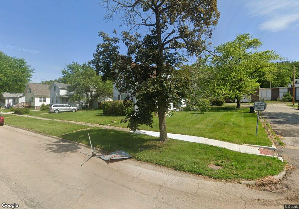
485 Clark St Marseilles, IL 61341
Estimated Value: $137,000 - $174,000
3
Beds
2
Baths
1,800
Sq Ft
$83/Sq Ft
Est. Value
About This Home
This home is located at 485 Clark St, Marseilles, IL 61341 and is currently estimated at $150,208, approximately $83 per square foot. 485 Clark St is a home located in LaSalle County with nearby schools including Marseilles Elementary School and Ottawa Township High School.
Ownership History
Date
Name
Owned For
Owner Type
Purchase Details
Closed on
Nov 13, 2015
Sold by
Orsburn Leroy J and Orsburn Connie R
Bought by
Orsburn Christopher T
Current Estimated Value
Home Financials for this Owner
Home Financials are based on the most recent Mortgage that was taken out on this home.
Original Mortgage
$55,000
Outstanding Balance
$43,187
Interest Rate
3.74%
Mortgage Type
New Conventional
Estimated Equity
$107,021
Purchase Details
Closed on
May 10, 2011
Sold by
Dunlap Larry R and Dunlap Dennis M
Bought by
Orsburn Leroy J and Orsburn Connie R
Create a Home Valuation Report for This Property
The Home Valuation Report is an in-depth analysis detailing your home's value as well as a comparison with similar homes in the area
Home Values in the Area
Average Home Value in this Area
Purchase History
| Date | Buyer | Sale Price | Title Company |
|---|---|---|---|
| Orsburn Christopher T | $55,000 | -- | |
| Orsburn Leroy J | $48,000 | None Available |
Source: Public Records
Mortgage History
| Date | Status | Borrower | Loan Amount |
|---|---|---|---|
| Open | Orsburn Christopher T | $55,000 | |
| Closed | Orsburn Leroy J | $0 |
Source: Public Records
Tax History
| Year | Tax Paid | Tax Assessment Tax Assessment Total Assessment is a certain percentage of the fair market value that is determined by local assessors to be the total taxable value of land and additions on the property. | Land | Improvement |
|---|---|---|---|---|
| 2024 | $1,875 | $25,283 | $4,735 | $20,548 |
| 2023 | $1,604 | $22,757 | $4,262 | $18,495 |
| 2022 | $1,754 | $22,455 | $5,020 | $17,435 |
| 2021 | $1,730 | $21,148 | $4,728 | $16,420 |
| 2020 | $1,625 | $20,368 | $4,554 | $15,814 |
| 2019 | $1,569 | $19,979 | $4,467 | $15,512 |
| 2018 | $1,592 | $19,505 | $4,361 | $15,144 |
| 2017 | $1,531 | $19,043 | $4,258 | $14,785 |
| 2016 | $1,481 | $18,734 | $4,189 | $14,545 |
| 2015 | $2,181 | $18,539 | $4,145 | $14,394 |
| 2012 | -- | $17,117 | $3,827 | $13,290 |
Source: Public Records
Map
Nearby Homes
- 423 Clark St
- 369 W Bluff St
- 670 1st St
- 269 Clark St
- 204 Clark St
- 506-530 Main St Unit 2
- 640 Rutland St
- 927 Clark St
- 128 Mill St
- 330 E Bluff St
- 326 Lincoln St
- 339 Broadway St
- 1026 Catalpa St
- 204 Wallace St
- Lot 43 Meadowview Ln
- 603 Opal St
- 584 Broadway St
- 660 1st Ave
- 893-895 Colorado St
- 897-899 Colorado St
Your Personal Tour Guide
Ask me questions while you tour the home.