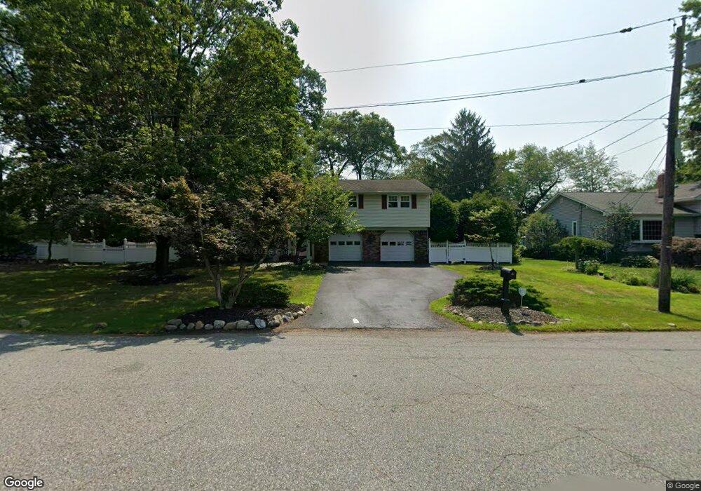
485 Eisenhower Ct Wyckoff, NJ 07481
Estimated Value: $1,068,000 - $1,206,000
4
Beds
3
Baths
3,096
Sq Ft
$376/Sq Ft
Est. Value
About This Home
This home is located at 485 Eisenhower Ct, Wyckoff, NJ 07481 and is currently estimated at $1,163,659, approximately $375 per square foot. 485 Eisenhower Ct is a home located in Bergen County with nearby schools including Dwight D Eisenhower Middle School, Ramapo High School, and Indian Hills High School.
Ownership History
Date
Name
Owned For
Owner Type
Purchase Details
Closed on
May 31, 2013
Sold by
Raffo Givoanni and Spreen Raffo Lynn M
Bought by
Raffo Juan J and Raffo Giovanni
Current Estimated Value
Home Financials for this Owner
Home Financials are based on the most recent Mortgage that was taken out on this home.
Original Mortgage
$194,000
Outstanding Balance
$137,384
Interest Rate
3.39%
Mortgage Type
Unknown
Estimated Equity
$1,026,275
Purchase Details
Closed on
Oct 31, 2000
Sold by
Thompson Richard
Bought by
Raffo Giovanni and Raffo Lynn M Spreen
Home Financials for this Owner
Home Financials are based on the most recent Mortgage that was taken out on this home.
Original Mortgage
$255,000
Interest Rate
7.78%
Purchase Details
Closed on
Jan 18, 2000
Sold by
Kadell Judith and Kadell Burton
Bought by
Phillips Randi J and Phillips Irene
Create a Home Valuation Report for This Property
The Home Valuation Report is an in-depth analysis detailing your home's value as well as a comparison with similar homes in the area
Home Values in the Area
Average Home Value in this Area
Purchase History
| Date | Buyer | Sale Price | Title Company |
|---|---|---|---|
| Raffo Juan J | -- | -- | |
| Raffo Giovanni | $475,000 | -- | |
| Phillips Randi J | $460,000 | -- |
Source: Public Records
Mortgage History
| Date | Status | Borrower | Loan Amount |
|---|---|---|---|
| Open | Raffo Juan J | $194,000 | |
| Previous Owner | Raffo Giovanni | $255,000 |
Source: Public Records
Tax History Compared to Growth
Tax History
| Year | Tax Paid | Tax Assessment Tax Assessment Total Assessment is a certain percentage of the fair market value that is determined by local assessors to be the total taxable value of land and additions on the property. | Land | Improvement |
|---|---|---|---|---|
| 2025 | $14,297 | $733,200 | $462,500 | $270,700 |
| 2024 | $13,879 | $733,200 | $462,500 | $270,700 |
| 2023 | $13,506 | $733,200 | $462,500 | $270,700 |
| 2022 | $13,506 | $733,200 | $462,500 | $270,700 |
| 2021 | $13,594 | $733,200 | $462,500 | $270,700 |
| 2020 | $13,454 | $733,200 | $462,500 | $270,700 |
| 2019 | $13,271 | $733,200 | $462,500 | $270,700 |
| 2018 | $13,066 | $733,200 | $462,500 | $270,700 |
| 2017 | $12,904 | $733,200 | $462,500 | $270,700 |
| 2016 | $12,699 | $733,200 | $462,500 | $270,700 |
| 2015 | $12,560 | $733,200 | $462,500 | $270,700 |
| 2014 | $12,898 | $812,700 | $512,500 | $300,200 |
Source: Public Records
Map
Nearby Homes
- 484 Caldwell Dr
- 374 Cedar Hill Ave
- 144 Emeline Dr
- 732 Terrace Heights
- 300 Merrywood Dr
- 306 Sunset Blvd
- 427 Grandview Ave
- 510 Sicomac Ave
- 190 Madison Ave
- 476 Fairfield Rd
- 137 Elmwood Place
- 6 Northwood Dr
- 120 Ravine Ave
- 400 Goffle Hill Rd
- 352 Amherst St
- 11 Surrey Place Unit 1
- 11 Surrey Place
- 80 Mary Ann Ln
- 113 Highview Ter Land
- 740 Van Houten Ave