485 Ewing Rd Youngstown, OH 44512
Estimated Value: $183,000 - $200,689
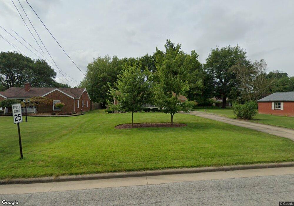
About This Home
This home is located at 485 Ewing Rd, Youngstown, OH 44512 and is currently estimated at $191,172, approximately $128 per square foot. 485 Ewing Rd is a home located in Mahoning County with nearby schools including West Boulevard Elementary School, Boardman Center Middle School, and Boardman High School.
Ownership History
We collect this data history from publicly available records. To have your information removed, we recommend requesting removal directly through your county’s website.
Purchase Details
Home Financials for this Owner
Home Financials are based on the most recent Mortgage that was taken out on this home.Purchase Details
Home Values in the Area
Average Home Value in this Area
Purchase History
We collect this data history from publicly available records. To have your information removed, we recommend requesting removal directly through your county’s website.
| Date | Buyer | Sale Price | Title Company |
|---|---|---|---|
| $72,000 | -- | ||
| -- | -- |
Mortgage History
We collect this data history from publicly available records. To have your information removed, we recommend requesting removal directly through your county’s website.
| Date | Status | Borrower | Loan Amount |
|---|---|---|---|
| Open | $52,000 |
Tax History
We collect this data history from publicly available records. To have your information removed, we recommend requesting removal directly through your county’s website.
| Year | Tax Paid | Tax Assessment Tax Assessment Total Assessment is a certain percentage of the fair market value that is determined by local assessors to be the total taxable value of land and additions on the property. | Land | Improvement |
|---|---|---|---|---|
| 2025 | $2,441 | $58,930 | $8,290 | $50,640 |
| 2024 | $2,514 | $58,930 | $8,290 | $50,640 |
| 2023 | $2,512 | $58,930 | $8,290 | $50,640 |
| 2022 | $2,038 | $39,470 | $7,730 | $31,740 |
| 2021 | $2,039 | $39,470 | $7,730 | $31,740 |
| 2020 | $2,049 | $39,470 | $7,730 | $31,740 |
| 2019 | $2,365 | $31,440 | $7,020 | $24,420 |
| 2018 | $2,033 | $31,440 | $7,020 | $24,420 |
| 2017 | $2,081 | $31,440 | $7,020 | $24,420 |
| 2016 | $2,152 | $33,360 | $7,020 | $26,340 |
| 2015 | $2,110 | $33,360 | $7,020 | $26,340 |
| 2014 | $2,116 | $33,360 | $7,020 | $26,340 |
| 2013 | $2,089 | $33,360 | $7,020 | $26,340 |
Map
- 455 Ewing Rd
- 735 Brookfield Ave
- 446 Ewing Rd
- 765 Ewing Rd
- 421 Wildwood Dr
- 788 Brookfield Ave
- 364 Brookfield Ave
- 804 Crestview Dr
- 723 Glen Park Rd
- 835 Crestview Dr
- 5810 West Blvd
- 7062 West Blvd Unit 1
- 6632 Harrington Ave
- 222 Brookfield Ave
- 6721 Paxton Rd
- 5540 West Blvd
- 5520 Mill Creek Blvd
- 160 Rockdale Ave
- 761 Glenbrook Rd
- 139 Centervale Ave
- 479 Ewing Rd
- 6421 West Blvd
- 6409 West Blvd
- 473 Ewing Rd
- 6427 West Blvd
- 467 Ewing Rd
- 482 Brookfield Ave
- 476 Brookfield Ave
- 486 Brookfield Ave
- 478 Brookfield Ave
- 6441 West Blvd
- 498 Ewing Rd
- 470 Brookfield Ave
- 492 Ewing Rd
- 461 Ewing Rd
- 488 Ewing Rd
- 486 Ewing Rd
- 466 Brookfield Ave
- 6445 West Blvd
- 482 Ewing Rd
Ask me questions while you tour the home.