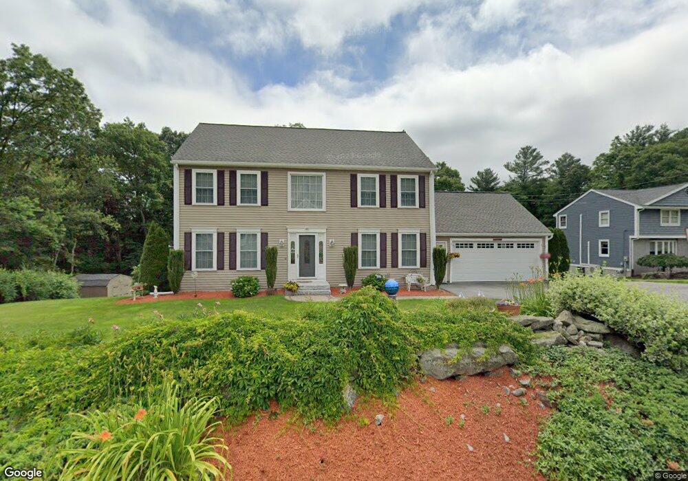
485 Grafton St Shrewsbury, MA 01545
Estimated Value: $868,122 - $1,052,000
3
Beds
4
Baths
2,128
Sq Ft
$458/Sq Ft
Est. Value
About This Home
This home is located at 485 Grafton St, Shrewsbury, MA 01545 and is currently estimated at $975,281, approximately $458 per square foot. 485 Grafton St is a home located in Worcester County with nearby schools including Floral Street School, Sherwood Middle School, and Oak Middle School.
Ownership History
Date
Name
Owned For
Owner Type
Purchase Details
Closed on
Mar 11, 2022
Sold by
Belinskas Maryann T
Bought by
Maryann T Belinskas Ret and Belinskas
Current Estimated Value
Purchase Details
Closed on
Sep 23, 1996
Sold by
Grafton Bldg Co Inc
Bought by
Belinskas David J and Belinskas Maryann
Home Financials for this Owner
Home Financials are based on the most recent Mortgage that was taken out on this home.
Original Mortgage
$130,000
Interest Rate
7.89%
Mortgage Type
Purchase Money Mortgage
Purchase Details
Closed on
Jul 19, 1996
Sold by
Fashjian John G and Fashjian Michele
Bought by
Grafton Building Co
Create a Home Valuation Report for This Property
The Home Valuation Report is an in-depth analysis detailing your home's value as well as a comparison with similar homes in the area
Home Values in the Area
Average Home Value in this Area
Purchase History
| Date | Buyer | Sale Price | Title Company |
|---|---|---|---|
| Maryann T Belinskas Ret | -- | None Available | |
| Maryann T Belinskas Ret | -- | None Available | |
| Maryann T Belinskas Ret | -- | None Available | |
| Belinskas David J | $223,744 | -- | |
| Belinskas David J | $223,744 | -- | |
| Grafton Building Co | $75,000 | -- |
Source: Public Records
Mortgage History
| Date | Status | Borrower | Loan Amount |
|---|---|---|---|
| Previous Owner | Grafton Building Co | $100,000 | |
| Previous Owner | Grafton Building Co | $135,000 | |
| Previous Owner | Grafton Building Co | $130,000 |
Source: Public Records
Tax History Compared to Growth
Tax History
| Year | Tax Paid | Tax Assessment Tax Assessment Total Assessment is a certain percentage of the fair market value that is determined by local assessors to be the total taxable value of land and additions on the property. | Land | Improvement |
|---|---|---|---|---|
| 2025 | $98 | $816,800 | $330,000 | $486,800 |
| 2024 | $9,711 | $784,400 | $314,200 | $470,200 |
| 2023 | $9,174 | $699,200 | $314,200 | $385,000 |
| 2022 | $8,014 | $568,000 | $246,900 | $321,100 |
| 2021 | $7,193 | $545,300 | $246,900 | $298,400 |
| 2020 | $6,845 | $548,900 | $246,900 | $302,000 |
| 2019 | $6,590 | $524,300 | $235,200 | $289,100 |
| 2018 | $6,554 | $517,700 | $222,000 | $295,700 |
| 2017 | $6,179 | $481,600 | $195,600 | $286,000 |
| 2016 | $6,274 | $482,600 | $190,800 | $291,800 |
| 2015 | $5,902 | $447,100 | $168,900 | $278,200 |
Source: Public Records
Map
Nearby Homes
- 495 Grafton St
- 468 Grafton St
- 22 Adams Rd
- 7 Thoreau Cir
- 40 Adams Farm Rd
- 28 Cherry St
- 76 Hillside Dr
- 76 Grove St
- 60 Harrington Farms Way Unit 60
- 6 Meadowsweet Rd
- 9 Heritage St
- 20 Williamsburg Ct Unit 21
- 26 Williamsburg Ct Unit 22
- 127 Stoney Hill Rd
- 43 Harriet Ave
- 1 Purinton St
- 32 Clews St
- Lot 386R Clover Glen Cir
- 4 Horseneck Rd
- 51 Cortland Grove Dr Unit 51