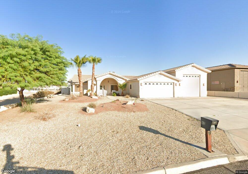
485 Jones Dr Lake Havasu City, AZ 86406
Estimated Value: $754,000 - $1,075,000
2
Beds
1
Bath
2,159
Sq Ft
$437/Sq Ft
Est. Value
About This Home
This home is located at 485 Jones Dr, Lake Havasu City, AZ 86406 and is currently estimated at $942,721, approximately $436 per square foot. 485 Jones Dr is a home located in Mohave County with nearby schools including Starline Elementary School, Thunderbolt Middle School, and Lake Havasu High School.
Ownership History
Date
Name
Owned For
Owner Type
Purchase Details
Closed on
Oct 29, 2004
Sold by
Kramer Timothy Patrick
Bought by
Olson Richard N and Olson Katharine S
Current Estimated Value
Purchase Details
Closed on
Nov 28, 2003
Sold by
Goyette Norma C
Bought by
Kramer Timothy Patrick
Home Financials for this Owner
Home Financials are based on the most recent Mortgage that was taken out on this home.
Original Mortgage
$160,000
Interest Rate
5.92%
Mortgage Type
Unknown
Create a Home Valuation Report for This Property
The Home Valuation Report is an in-depth analysis detailing your home's value as well as a comparison with similar homes in the area
Home Values in the Area
Average Home Value in this Area
Purchase History
| Date | Buyer | Sale Price | Title Company |
|---|---|---|---|
| Olson Richard N | $230,000 | State Title Agency Inc | |
| Kramer Timothy Patrick | $200,000 | State Title Agency Inc |
Source: Public Records
Mortgage History
| Date | Status | Borrower | Loan Amount |
|---|---|---|---|
| Previous Owner | Kramer Timothy Patrick | $160,000 |
Source: Public Records
Tax History Compared to Growth
Tax History
| Year | Tax Paid | Tax Assessment Tax Assessment Total Assessment is a certain percentage of the fair market value that is determined by local assessors to be the total taxable value of land and additions on the property. | Land | Improvement |
|---|---|---|---|---|
| 2026 | -- | -- | -- | -- |
| 2025 | $3,233 | $74,965 | $0 | $0 |
| 2024 | $3,233 | $78,429 | $0 | $0 |
| 2023 | $3,233 | $67,849 | $0 | $0 |
| 2022 | $3,068 | $60,273 | $0 | $0 |
| 2021 | $3,286 | $51,074 | $0 | $0 |
| 2019 | $3,088 | $47,774 | $0 | $0 |
| 2018 | $2,982 | $45,272 | $0 | $0 |
| 2017 | $2,928 | $46,483 | $0 | $0 |
| 2016 | $2,579 | $43,672 | $0 | $0 |
| 2015 | $2,508 | $38,217 | $0 | $0 |
Source: Public Records
Map
Nearby Homes
- 475 Jones Dr
- 393 Hagen Way
- 2041 Oak Dr
- 565 Jones Dr Unit 3b
- 539 Burkemo Ln Unit A1
- 2180 Snead Dr
- 2190 Snead Dr
- 2139 Palmer Dr
- 2175 Snead Dr Unit 4
- 2175 Snead Dr Unit 6
- 1881 Pinion Tree Dr
- 2207 Oliver Ln
- 1905 Palmer Dr Unit 1
- 2175 Palmer Dr
- 2190 Palmer Dr
- 2195 Casper Dr
- 209 Snead Dr
- 660 Pena Ln
- 220 White Oak Dr
- 2224 Littler Ln Unit 28