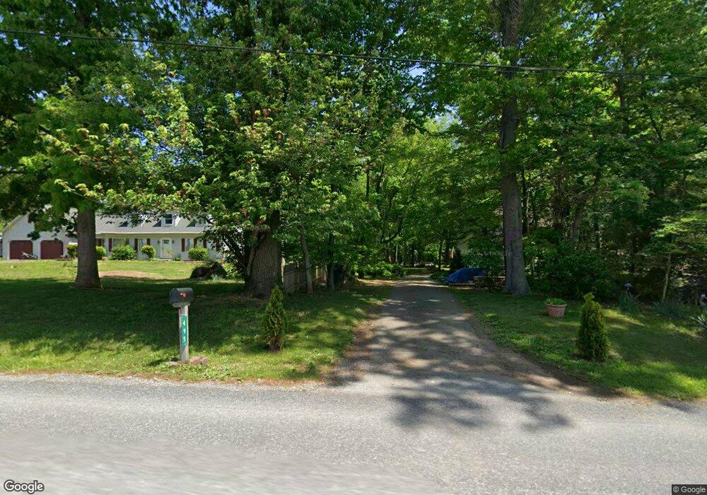
485 Liberty Ln Kirkwood, PA 17536
Estimated Value: $621,688 - $747,000
4
Beds
2
Baths
1,440
Sq Ft
$470/Sq Ft
Est. Value
About This Home
This home is located at 485 Liberty Ln, Kirkwood, PA 17536 and is currently estimated at $677,229, approximately $470 per square foot. 485 Liberty Ln is a home located in Lancaster County with nearby schools including Solanco High School.
Ownership History
Date
Name
Owned For
Owner Type
Purchase Details
Closed on
Jul 16, 2013
Sold by
Taylor Richard L and Taylor Shirley A
Bought by
Mcconnell Julie
Current Estimated Value
Home Financials for this Owner
Home Financials are based on the most recent Mortgage that was taken out on this home.
Original Mortgage
$403,000
Outstanding Balance
$189,470
Interest Rate
3.25%
Mortgage Type
Purchase Money Mortgage
Estimated Equity
$487,759
Create a Home Valuation Report for This Property
The Home Valuation Report is an in-depth analysis detailing your home's value as well as a comparison with similar homes in the area
Home Values in the Area
Average Home Value in this Area
Purchase History
| Date | Buyer | Sale Price | Title Company |
|---|---|---|---|
| Mcconnell Julie | $403,000 | None Available |
Source: Public Records
Mortgage History
| Date | Status | Borrower | Loan Amount |
|---|---|---|---|
| Open | Mcconnell Julie | $403,000 |
Source: Public Records
Tax History Compared to Growth
Tax History
| Year | Tax Paid | Tax Assessment Tax Assessment Total Assessment is a certain percentage of the fair market value that is determined by local assessors to be the total taxable value of land and additions on the property. | Land | Improvement |
|---|---|---|---|---|
| 2025 | $6,556 | $417,600 | $122,000 | $295,600 |
| 2024 | $6,556 | $417,600 | $122,000 | $295,600 |
| 2023 | $6,359 | $417,600 | $122,000 | $295,600 |
| 2022 | $6,169 | $417,600 | $122,000 | $295,600 |
| 2021 | $5,953 | $417,600 | $122,000 | $295,600 |
| 2020 | $5,287 | $370,900 | $122,000 | $248,900 |
| 2019 | $5,151 | $370,900 | $122,000 | $248,900 |
| 2018 | $6,023 | $370,900 | $122,000 | $248,900 |
| 2017 | $3,385 | $200,900 | $62,900 | $138,000 |
| 2016 | $3,384 | $200,900 | $62,900 | $138,000 |
| 2015 | $883 | $200,900 | $62,900 | $138,000 |
| 2014 | $2,371 | $200,900 | $62,900 | $138,000 |
Source: Public Records
Map
Nearby Homes
- 15 Phillip Dr
- 1201 Spruce Grove Rd
- 1751 Kirkwood Pike
- 1751 Kirkwood Pike
- 675 Lancaster Pike
- 0 Wickmere Street #F - Empire Unit PACT2103136
- 110 Green Ln
- 380 Glen Roy Rd
- 371 Wickmere St
- 359 Wickmere Street #C- Braeburn
- 364 Wickmere St Unit 45
- 4635 Newark Rd
- 20 Brown Rd
- 345 Austin Dr
- 1881 Georgetown Rd
- 115 W Hillside Dr
- 105 W Hillside Dr
- 297 Beaumont Dr
- 1100210 Trinity Dr
- 11011010 Trinity Dr