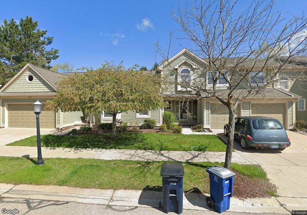
485 Liberty Pointe Dr Ann Arbor, MI 48103
Liberty Glen NeighborhoodEstimated Value: $335,000 - $351,678
3
Beds
2
Baths
1,450
Sq Ft
$236/Sq Ft
Est. Value
About This Home
This home is located at 485 Liberty Pointe Dr, Ann Arbor, MI 48103 and is currently estimated at $342,920, approximately $236 per square foot. 485 Liberty Pointe Dr is a home located in Washtenaw County with nearby schools including Lakewood Elementary School, Forsythe Middle School, and Skyline High School.
Ownership History
Date
Name
Owned For
Owner Type
Purchase Details
Closed on
Mar 31, 2022
Sold by
Sue Oshea K
Bought by
Coffey Michael J and Oshea Brennan T
Current Estimated Value
Purchase Details
Closed on
Dec 17, 2021
Sold by
Merola Marcia A
Bought by
Shea K Sue O
Purchase Details
Closed on
Jan 22, 2003
Sold by
Merola Brian J and Merola Joseph Brian
Bought by
Merola Marcia A
Purchase Details
Closed on
Apr 18, 2000
Sold by
Mcnally Ann S Trust
Bought by
Merola Brian J
Purchase Details
Closed on
Jul 26, 1995
Sold by
Liberty Pointe Dev Co In
Bought by
Ann S Mcnally
Create a Home Valuation Report for This Property
The Home Valuation Report is an in-depth analysis detailing your home's value as well as a comparison with similar homes in the area
Home Values in the Area
Average Home Value in this Area
Purchase History
| Date | Buyer | Sale Price | Title Company |
|---|---|---|---|
| Coffey Michael J | -- | None Listed On Document | |
| Shea K Sue O | $300,000 | Preferred Ttl Agcy Of Ann Ab | |
| Merola Marcia A | -- | -- | |
| Merola Brian J | $157,500 | -- | |
| Ann S Mcnally | $133,500 | -- |
Source: Public Records
Tax History Compared to Growth
Tax History
| Year | Tax Paid | Tax Assessment Tax Assessment Total Assessment is a certain percentage of the fair market value that is determined by local assessors to be the total taxable value of land and additions on the property. | Land | Improvement |
|---|---|---|---|---|
| 2025 | $7,828 | $163,500 | $0 | $0 |
| 2024 | $7,289 | $163,500 | $0 | $0 |
| 2023 | $6,721 | $156,200 | $0 | $0 |
| 2022 | $8,441 | $144,000 | $0 | $0 |
| 2021 | $3,990 | $137,300 | $0 | $0 |
| 2020 | $3,909 | $135,500 | $0 | $0 |
| 2019 | $3,720 | $125,400 | $125,400 | $0 |
| 2018 | $3,668 | $114,600 | $0 | $0 |
| 2017 | $3,568 | $108,900 | $0 | $0 |
| 2016 | $3,039 | $71,350 | $0 | $0 |
| 2015 | $3,278 | $71,137 | $0 | $0 |
| 2014 | $3,278 | $68,915 | $0 | $0 |
| 2013 | -- | $68,915 | $0 | $0 |
Source: Public Records
Map
Nearby Homes
- 609 Liberty Pointe Dr Unit 45
- 324 Highlake Ave
- 2564 W Towne St
- 570 S Maple Rd
- 922 W Summerfield Glen Cir Unit 110
- 2509 W Liberty St
- 1008 W Summerfield Glen Cir
- 3177 Sunnywood Dr
- 2149 Fair St
- 1053 Bluestem Ln
- 3224 Lakewood Dr
- 2052 Liberty Heights
- 2107 Jackson Ave
- 1235 S Maple Rd Unit 101
- 1235 S Maple Rd Unit 202
- 1225 S Maple Rd Unit 307
- 105 Pleasant Place
- 115 Longman Ln
- 1265 S Maple Rd Unit 207
- 2120 Pauline Blvd Unit 305
- 485 Liberty Pointe Dr Unit 88
- 483 Liberty Pointe Dr
- 489 Liberty Pointe Dr
- 491 Liberty Pointe Dr
- 475 Liberty Pointe Dr
- 493 Liberty Pointe Dr
- 473 Liberty Pointe Dr Unit 85
- 505 Liberty Pointe Dr Unit 95
- 507 Liberty Pointe Dr Unit 96
- 495 Liberty Pointe Dr
- 495 Liberty Pointe Dr Unit 93
- 474 Liberty Pointe Dr Unit 84
- 509 Liberty Pointe Dr Unit 97
- 503 Liberty Pointe Dr
- 511 Liberty Pointe Dr Unit 98
- 476 Liberty Pointe Dr
- 513 Liberty Pointe Dr Unit 99
- 525 Liberty Pointe Dr
- 515 Liberty Pointe Dr
- 527 Liberty Pointe Dr