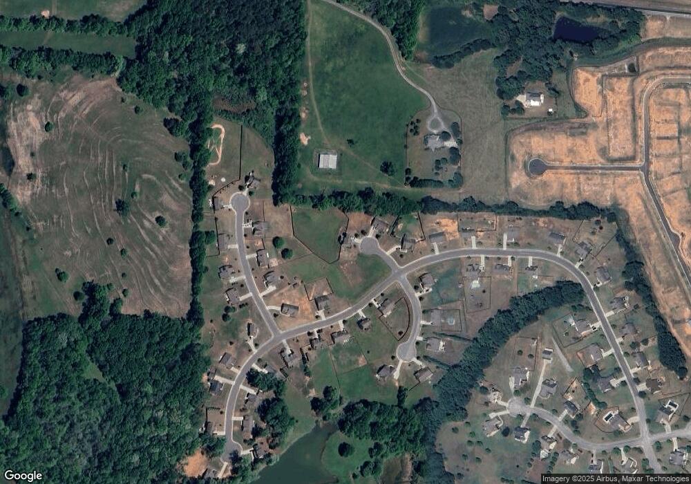
485 Logans Way Unit 19 Hoschton, GA 30548
Estimated Value: $460,569 - $599,000
4
Beds
4
Baths
2,444
Sq Ft
$204/Sq Ft
Est. Value
About This Home
This home is located at 485 Logans Way Unit 19, Hoschton, GA 30548 and is currently estimated at $498,142, approximately $203 per square foot. 485 Logans Way Unit 19 is a home located in Jackson County with nearby schools including West Jackson Elementary School, West Jackson Middle School, and Jackson County High School.
Ownership History
Date
Name
Owned For
Owner Type
Purchase Details
Closed on
Dec 16, 2016
Sold by
Southfork Homes Llc
Bought by
Leak Charles A
Current Estimated Value
Home Financials for this Owner
Home Financials are based on the most recent Mortgage that was taken out on this home.
Original Mortgage
$230,000
Outstanding Balance
$188,088
Interest Rate
3.94%
Mortgage Type
VA
Estimated Equity
$310,054
Purchase Details
Closed on
Jun 20, 2016
Sold by
Rl Regi Georgia Llc
Bought by
Southfork Homes Llc
Purchase Details
Closed on
Sep 30, 2010
Sold by
Regions Bank
Bought by
Rl Regi Georgia Llc
Purchase Details
Closed on
Apr 6, 2010
Sold by
Cambridge Farms Development Llcq
Bought by
Regions Bank
Create a Home Valuation Report for This Property
The Home Valuation Report is an in-depth analysis detailing your home's value as well as a comparison with similar homes in the area
Home Values in the Area
Average Home Value in this Area
Purchase History
| Date | Buyer | Sale Price | Title Company |
|---|---|---|---|
| Leak Charles A | $230,000 | -- | |
| Southfork Homes Llc | $42,000 | -- | |
| Rl Regi Georgia Llc | $6,100 | -- | |
| Regions Bank | $40,300 | -- |
Source: Public Records
Mortgage History
| Date | Status | Borrower | Loan Amount |
|---|---|---|---|
| Open | Leak Charles A | $230,000 |
Source: Public Records
Tax History Compared to Growth
Tax History
| Year | Tax Paid | Tax Assessment Tax Assessment Total Assessment is a certain percentage of the fair market value that is determined by local assessors to be the total taxable value of land and additions on the property. | Land | Improvement |
|---|---|---|---|---|
| 2024 | $1,988 | $187,800 | $24,000 | $163,800 |
| 2023 | $1,988 | $167,560 | $24,000 | $143,560 |
| 2022 | $1,193 | $138,000 | $24,000 | $114,000 |
| 2021 | $1,227 | $138,000 | $24,000 | $114,000 |
| 2020 | $438 | $101,000 | $12,000 | $89,000 |
| 2019 | $678 | $103,160 | $12,000 | $91,160 |
| 2018 | $545 | $94,520 | $8,000 | $86,520 |
| 2017 | $83 | $77,379 | $8,000 | $69,379 |
| 2016 | $360 | $8,000 | $8,000 | $0 |
| 2015 | $291 | $6,000 | $6,000 | $0 |
| 2014 | $287 | $6,000 | $6,000 | $0 |
| 2013 | -- | $6,000 | $6,000 | $0 |
Source: Public Records
Map
Nearby Homes
- 482 Logans Way
- 562 Cambridge Farms Dr
- 511 Brookside Ln
- 818 Bradmore Ct
- 806 Bradmore Ct
- 501 Cambridge Farms Dr
- 832 Bradmore Ct
- 844 Bradmore Ct
- 442 Cambridge Farms Dr
- 555 Cambridge Farms Dr
- 537 Cambridge Farms Dr
- 583 Cambridge Farms Dr
- 0 Bradmore Ct Unit 7407438
- 0 Bradmore Ct
- 856 Bradmore Ct
- 859 Bradmore Ct
- 839 Bradmore Ct
- 815 Bradmore Ct
- 521 Brookside Ln
- 6281 Highway 332
