Estimated Value: $377,000 - $432,755
4
Beds
3
Baths
2,304
Sq Ft
$175/Sq Ft
Est. Value
About This Home
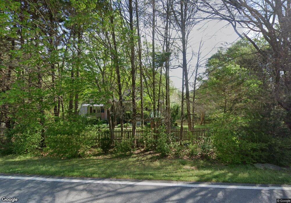
This home is located at 485 Mein Mitchell Rd, Hiram, GA 30141 and is currently estimated at $403,689, approximately $175 per square foot. 485 Mein Mitchell Rd is a home located in Paulding County with nearby schools including Bessie L. Baggett Elementary School, Irma C. Austin Middle School, and Hiram High School.
Ownership History
Date
Name
Owned For
Owner Type
Purchase Details
Closed on
Apr 17, 2014
Sold by
Lawson Lonnie
Bought by
Lawson Patricia
Current Estimated Value
Purchase Details
Closed on
Apr 14, 2003
Sold by
Harper Jeffrey D and Harper Tonya
Bought by
Lawson Lonnie W and Lawson Patricia
Home Financials for this Owner
Home Financials are based on the most recent Mortgage that was taken out on this home.
Original Mortgage
$137,200
Interest Rate
5.62%
Mortgage Type
New Conventional
Create a Home Valuation Report for This Property
The Home Valuation Report is an in-depth analysis detailing your home's value as well as a comparison with similar homes in the area
Home Values in the Area
Average Home Value in this Area
Purchase History
| Date | Buyer | Sale Price | Title Company |
|---|---|---|---|
| Lawson Patricia | -- | -- | |
| Lawson Lonnie W | $146,000 | -- |
Source: Public Records
Mortgage History
| Date | Status | Borrower | Loan Amount |
|---|---|---|---|
| Previous Owner | Lawson Lonnie W | $137,200 |
Source: Public Records
Tax History Compared to Growth
Tax History
| Year | Tax Paid | Tax Assessment Tax Assessment Total Assessment is a certain percentage of the fair market value that is determined by local assessors to be the total taxable value of land and additions on the property. | Land | Improvement |
|---|---|---|---|---|
| 2024 | $1,022 | $150,496 | $12,000 | $138,496 |
| 2023 | $1,132 | $142,116 | $12,000 | $130,116 |
| 2022 | $1,044 | $129,492 | $12,000 | $117,492 |
| 2021 | $907 | $91,996 | $10,000 | $81,996 |
| 2020 | $1,027 | $97,772 | $10,000 | $87,772 |
| 2019 | $1,561 | $81,916 | $10,000 | $71,916 |
| 2018 | $1,163 | $62,972 | $10,000 | $52,972 |
| 2017 | $1,370 | $71,588 | $10,000 | $61,588 |
| 2016 | $1,347 | $71,480 | $10,000 | $61,480 |
| 2015 | $2,094 | $68,044 | $10,000 | $58,044 |
| 2014 | -- | $56,976 | $10,000 | $46,976 |
| 2013 | -- | $41,200 | $8,000 | $33,200 |
Source: Public Records
Map
Nearby Homes
- 2 Misty Ridge Dr
- 15 Hayes Trace
- 26 Misty Cove
- 43 Misty Cove
- 13 Misty Cove
- 45 Misty Cove
- 0 Misty Cove Unit 8585954
- 0 Misty Cove Unit 8167397
- 0 Misty Cove Unit 8604888
- 0 Misty Cove Unit 3058030
- 12 Misty Ridge Dr
- 8 Hayes Trace
- 0 Misty Ridge Dr Unit 8816994
- 0 Misty Ridge Dr Unit 8466690
- 0 Misty Ridge Dr Unit 3199086
- 0 Misty Ridge Dr
- 95 Hayes Trace
- 554 Mein Mitchell Rd
- 429 Mein Mitchell Rd
- 50 Mallory Ct