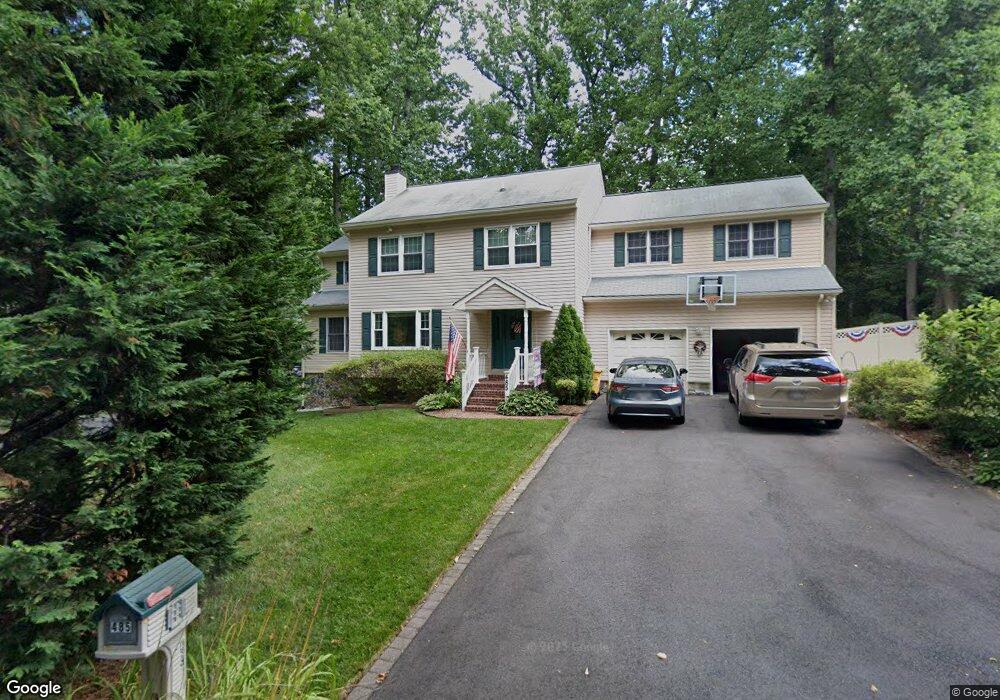
485 Mountain Rd Crownsville, MD 21032
Herald Harbor NeighborhoodEstimated Value: $607,468 - $776,000
--
Bed
4
Baths
2,284
Sq Ft
$307/Sq Ft
Est. Value
About This Home
This home is located at 485 Mountain Rd, Crownsville, MD 21032 and is currently estimated at $701,367, approximately $307 per square foot. 485 Mountain Rd is a home located in Anne Arundel County with nearby schools including South Shore Elementary School and Old Mill High School.
Ownership History
Date
Name
Owned For
Owner Type
Purchase Details
Closed on
Apr 14, 2023
Sold by
Doerr Rita M
Bought by
Doerr Family Trust
Current Estimated Value
Purchase Details
Closed on
Jun 28, 1991
Bought by
Doerr Thomas S and Doerr Rita M
Home Financials for this Owner
Home Financials are based on the most recent Mortgage that was taken out on this home.
Original Mortgage
$175,750
Interest Rate
9.67%
Create a Home Valuation Report for This Property
The Home Valuation Report is an in-depth analysis detailing your home's value as well as a comparison with similar homes in the area
Home Values in the Area
Average Home Value in this Area
Purchase History
| Date | Buyer | Sale Price | Title Company |
|---|---|---|---|
| Doerr Family Trust | -- | None Listed On Document | |
| Doerr Thomas S | $185,000 | -- |
Source: Public Records
Mortgage History
| Date | Status | Borrower | Loan Amount |
|---|---|---|---|
| Previous Owner | Doerr Thomas S | $175,750 |
Source: Public Records
Tax History Compared to Growth
Tax History
| Year | Tax Paid | Tax Assessment Tax Assessment Total Assessment is a certain percentage of the fair market value that is determined by local assessors to be the total taxable value of land and additions on the property. | Land | Improvement |
|---|---|---|---|---|
| 2025 | $4,181 | $545,800 | $244,200 | $301,600 |
| 2024 | $4,181 | $524,000 | $0 | $0 |
| 2023 | $3,488 | $502,200 | $0 | $0 |
| 2022 | $3,789 | $480,400 | $214,200 | $266,200 |
| 2021 | $7,429 | $461,933 | $0 | $0 |
| 2020 | $3,601 | $443,467 | $0 | $0 |
| 2019 | $3,532 | $425,000 | $154,100 | $270,900 |
| 2018 | $4,310 | $425,000 | $154,100 | $270,900 |
| 2017 | $3,349 | $425,000 | $0 | $0 |
| 2016 | $100 | $463,400 | $0 | $0 |
| 2015 | $100 | $463,400 | $0 | $0 |
| 2014 | -- | $459,000 | $0 | $0 |
Source: Public Records
Map
Nearby Homes
- 478 Mountain Rd
- 0 Herald Harbor Rd Unit MDAA2123892
- 902 Hine Trail
- 0 Yew Trail Unit MDAA2121932
- 0 Redwood Trail Unit MDAA2111808
- 0 Redwood Trail Unit MDAA2111804
- 0 Old Herald Harbor Rd Unit MDAA2109542
- 0 Old Herald Harbor Rd Unit MDAA2115958
- 0 Elm Trail
- Lots 25 and 26 Redwood Trail
- Lots 27 and 28 Redwood Trail
- Lots 23 and 24 Redwood Trail
- 872 Redwood Trail
- 938 Diggs Rd
- 0 Whitewood Trail
- 0 Beech Trail
- 852 Birch Trail
- 359 Hall Rd
- 975 Diggs Rd
- 366 Walnut Trail
- 447 Alder Trail
- 479 Mountain Rd
- 480 Mountain Rd
- 1100 Bristol Way
- 484 Mountain Rd
- 446 Alder Trail
- 456 Alder Trail
- Bristol Way
- 444 Alder Trail
- 501 Ash Trail
- 501 Bristol Ct
- 440 Mountain Rd
- 396 Alder Trail
- 441 Alder Trail
- 441 Mountain Rd
- 500 Ash Trail
- 471 Mountain Rd
- 474 Mountain Rd
- 440 Alder Trail
- 301 Aston Forest Ln