485 Moxie Ln Delphos, OH 45833
Estimated Value: $251,142
--
Bed
2
Baths
4,200
Sq Ft
$60/Sq Ft
Est. Value
About This Home
This home is located at 485 Moxie Ln, Delphos, OH 45833 and is currently estimated at $251,142, approximately $59 per square foot. 485 Moxie Ln is a home located in Allen County with nearby schools including Delphos St. John's Elementary School and Delphos St. John's High School.
Ownership History
Date
Name
Owned For
Owner Type
Purchase Details
Closed on
Sep 8, 2022
Sold by
Zuber 5 Llc
Bought by
Western Connection Llc
Current Estimated Value
Home Financials for this Owner
Home Financials are based on the most recent Mortgage that was taken out on this home.
Original Mortgage
$50,000
Outstanding Balance
$37,517
Interest Rate
4.99%
Mortgage Type
New Conventional
Estimated Equity
$213,625
Purchase Details
Closed on
Dec 9, 2010
Sold by
Zuber Stephen
Bought by
Zuber-5 Llc
Purchase Details
Closed on
Oct 29, 2009
Sold by
Mox & Associates Llc
Bought by
Zuber Stephen
Create a Home Valuation Report for This Property
The Home Valuation Report is an in-depth analysis detailing your home's value as well as a comparison with similar homes in the area
Home Values in the Area
Average Home Value in this Area
Purchase History
| Date | Buyer | Sale Price | Title Company |
|---|---|---|---|
| Western Connection Llc | $200,000 | -- | |
| Zuber-5 Llc | -- | Attorney | |
| Zuber Stephen | $220,000 | Attorney |
Source: Public Records
Mortgage History
| Date | Status | Borrower | Loan Amount |
|---|---|---|---|
| Open | Western Connection Llc | $50,000 |
Source: Public Records
Tax History Compared to Growth
Tax History
| Year | Tax Paid | Tax Assessment Tax Assessment Total Assessment is a certain percentage of the fair market value that is determined by local assessors to be the total taxable value of land and additions on the property. | Land | Improvement |
|---|---|---|---|---|
| 2024 | $2,913 | $54,390 | $3,920 | $50,470 |
| 2023 | $2,809 | $49,460 | $3,570 | $45,890 |
| 2022 | $2,899 | $49,460 | $3,570 | $45,890 |
| 2021 | $2,905 | $49,460 | $3,570 | $45,890 |
| 2020 | $2,531 | $46,280 | $4,030 | $42,250 |
| 2019 | $2,531 | $46,280 | $4,030 | $42,250 |
| 2018 | $2,470 | $46,280 | $4,030 | $42,250 |
| 2017 | $2,442 | $46,280 | $4,030 | $42,250 |
| 2016 | $2,455 | $46,280 | $4,030 | $42,250 |
| 2015 | $2,480 | $46,280 | $4,030 | $42,250 |
| 2014 | $2,480 | $50,090 | $4,030 | $46,060 |
| 2013 | $2,400 | $50,090 | $4,030 | $46,060 |
Source: Public Records
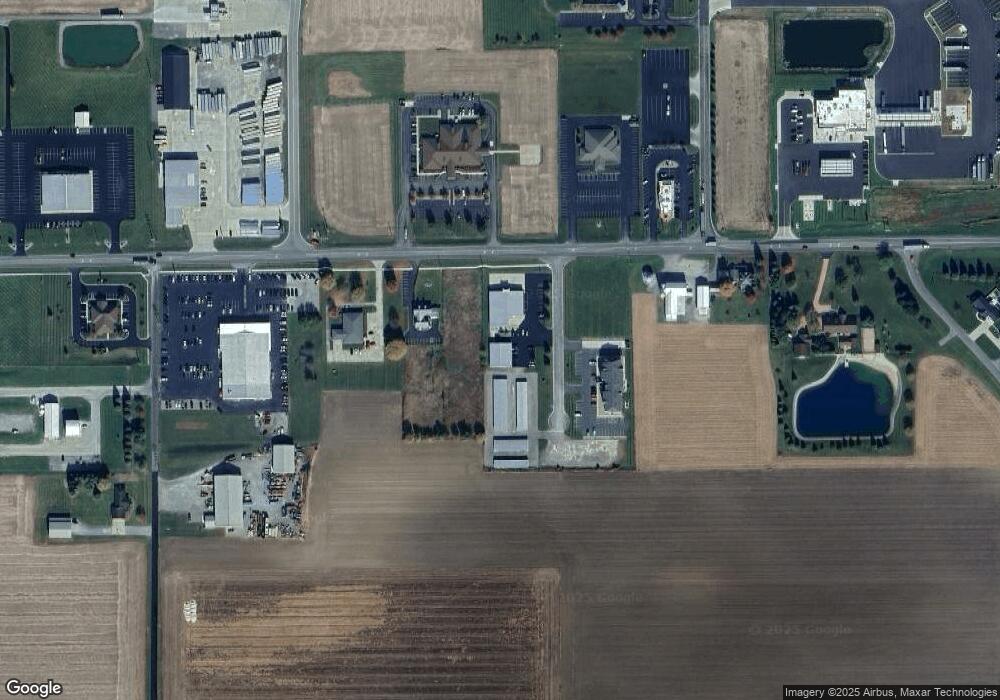
Map
Nearby Homes
- 7110 Elida Rd
- 914 E 3rd St
- 903 E 3rd St
- 821 E 3rd St
- 650 E 6th St
- 633 E 2nd St
- 1220 Rose Anna Dr
- 1303 Carolyn Dr
- 628 N Pierce St
- 704 N Franklin St
- 405 N Franklin St
- 810 N Franklin St
- 210 E 3rd St
- 610 N Washington St
- 508 S Washington St
- 221 S Main St
- 1001 S Adams St
- 424 S Canal St
- 827 S Washington St
- 503 W 6th St