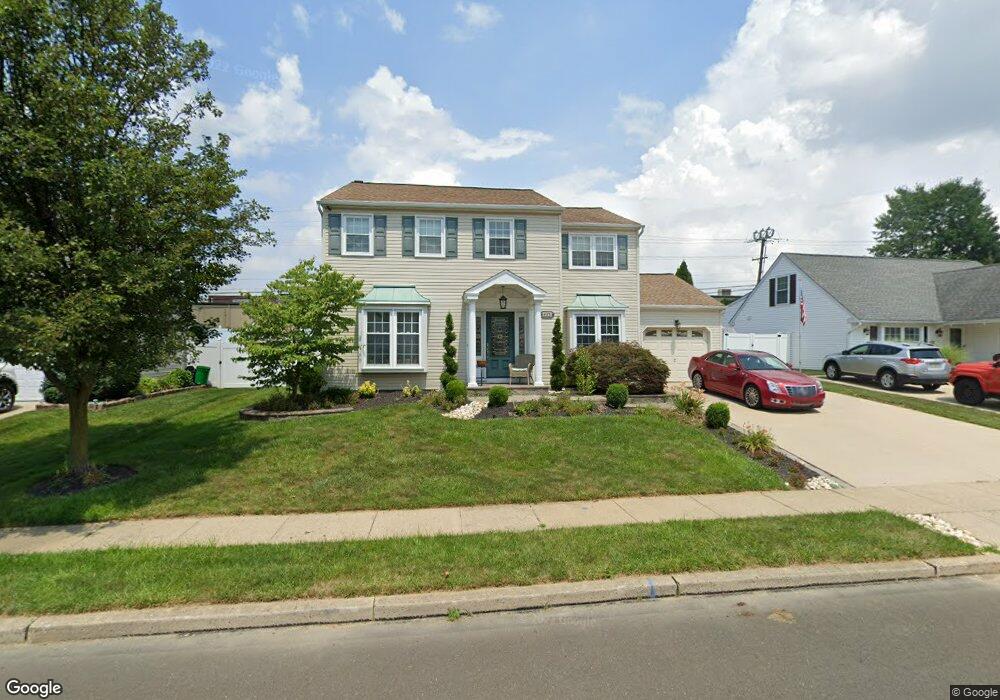
485 Pheasant Ln Fairless Hills, PA 19030
Estimated Value: $490,000 - $546,000
4
Beds
3
Baths
2,196
Sq Ft
$238/Sq Ft
Est. Value
About This Home
This home is located at 485 Pheasant Ln, Fairless Hills, PA 19030 and is currently estimated at $521,645, approximately $237 per square foot. 485 Pheasant Ln is a home located in Bucks County with nearby schools including Truman Senior High School, The Pen Ryn School, and Faith Baptist Christian Academy.
Ownership History
Date
Name
Owned For
Owner Type
Purchase Details
Closed on
Mar 24, 2003
Sold by
Barry Marjorie M
Bought by
Jiorle Marjorie M
Current Estimated Value
Home Financials for this Owner
Home Financials are based on the most recent Mortgage that was taken out on this home.
Original Mortgage
$116,900
Interest Rate
5.86%
Mortgage Type
Purchase Money Mortgage
Purchase Details
Closed on
Apr 14, 1994
Sold by
Barry Robert M and Barry Marjorie M
Bought by
Barry Marjorie M
Create a Home Valuation Report for This Property
The Home Valuation Report is an in-depth analysis detailing your home's value as well as a comparison with similar homes in the area
Home Values in the Area
Average Home Value in this Area
Purchase History
| Date | Buyer | Sale Price | Title Company |
|---|---|---|---|
| Jiorle Marjorie M | -- | -- | |
| Barry Marjorie M | -- | -- |
Source: Public Records
Mortgage History
| Date | Status | Borrower | Loan Amount |
|---|---|---|---|
| Closed | Jiorle Marjorie M | $116,900 |
Source: Public Records
Tax History Compared to Growth
Tax History
| Year | Tax Paid | Tax Assessment Tax Assessment Total Assessment is a certain percentage of the fair market value that is determined by local assessors to be the total taxable value of land and additions on the property. | Land | Improvement |
|---|---|---|---|---|
| 2025 | $7,810 | $28,760 | $4,920 | $23,840 |
| 2024 | $7,810 | $28,760 | $4,920 | $23,840 |
| 2023 | $7,753 | $28,760 | $4,920 | $23,840 |
| 2022 | $7,753 | $28,760 | $4,920 | $23,840 |
| 2021 | $7,753 | $28,760 | $4,920 | $23,840 |
| 2020 | $7,753 | $28,760 | $4,920 | $23,840 |
| 2019 | $7,724 | $28,760 | $4,920 | $23,840 |
| 2018 | $7,600 | $28,760 | $4,920 | $23,840 |
| 2017 | $7,484 | $28,760 | $4,920 | $23,840 |
| 2016 | $7,484 | $28,760 | $4,920 | $23,840 |
| 2015 | $5,530 | $28,760 | $4,920 | $23,840 |
| 2014 | $5,530 | $28,760 | $4,920 | $23,840 |
Source: Public Records
Map
Nearby Homes
- 525 Nel Dr
- 657 S Queen Anne Dr
- 524 Ehret Rd
- 513 Valmore Rd Unit L
- 340 Appletree Dr
- 243 Wyandotte Rd
- 508 Fairhurst Rd
- 9 Mulberry Ln
- 14 Appletree Dr
- 208 Suffolk Rd
- 50 Autumn Ln
- 20 Appletree Dr
- 225 Yorkshire Rd Unit HIII
- 331 Doone Place
- 713 Warwick Rd
- 417 Chelsea Rd
- 402 Stanford Rd
- 28 Rainbow Ln
- 479 Stanford Rd
- 248 N Oxford Valley Rd