485 Powers Court Ave Unit 2 Alpharetta, GA 30004
Estimated Value: $873,343 - $1,110,000
4
Beds
4
Baths
3,182
Sq Ft
$311/Sq Ft
Est. Value
About This Home
This home is located at 485 Powers Court Ave Unit 2, Alpharetta, GA 30004 and is currently estimated at $990,086, approximately $311 per square foot. 485 Powers Court Ave Unit 2 is a home located in Fulton County with nearby schools including Birmingham Falls Elementary School, Northwestern Middle School, and Milton High School.
Ownership History
Date
Name
Owned For
Owner Type
Purchase Details
Closed on
Jun 27, 2003
Sold by
Mckenna James F and Mckenna Angela S
Bought by
Lillard John E and Lillard Deanna
Current Estimated Value
Home Financials for this Owner
Home Financials are based on the most recent Mortgage that was taken out on this home.
Original Mortgage
$322,700
Interest Rate
6.03%
Mortgage Type
New Conventional
Purchase Details
Closed on
Aug 1, 1995
Sold by
Macauley Props Ltd
Bought by
Car Kevin J Charlotte
Create a Home Valuation Report for This Property
The Home Valuation Report is an in-depth analysis detailing your home's value as well as a comparison with similar homes in the area
Home Values in the Area
Average Home Value in this Area
Purchase History
| Date | Buyer | Sale Price | Title Company |
|---|---|---|---|
| Lillard John E | $365,000 | -- | |
| Car Kevin J Charlotte | $258,000 | -- |
Source: Public Records
Mortgage History
| Date | Status | Borrower | Loan Amount |
|---|---|---|---|
| Previous Owner | Lillard John E | $322,700 | |
| Closed | Car Kevin J Charlotte | $0 |
Source: Public Records
Tax History Compared to Growth
Tax History
| Year | Tax Paid | Tax Assessment Tax Assessment Total Assessment is a certain percentage of the fair market value that is determined by local assessors to be the total taxable value of land and additions on the property. | Land | Improvement |
|---|---|---|---|---|
| 2025 | $795 | $285,840 | $86,000 | $199,840 |
| 2023 | $7,112 | $251,960 | $63,160 | $188,800 |
| 2022 | $4,377 | $197,400 | $59,240 | $138,160 |
| 2021 | $4,230 | $176,680 | $47,640 | $129,040 |
| 2020 | $4,514 | $205,320 | $52,800 | $152,520 |
| 2019 | $794 | $201,720 | $51,880 | $149,840 |
| 2018 | $5,150 | $197,000 | $50,680 | $146,320 |
| 2017 | $4,069 | $151,400 | $31,640 | $119,760 |
| 2016 | $4,068 | $151,400 | $31,640 | $119,760 |
| 2015 | $4,730 | $151,400 | $31,640 | $119,760 |
| 2014 | $3,863 | $138,760 | $29,280 | $109,480 |
Source: Public Records
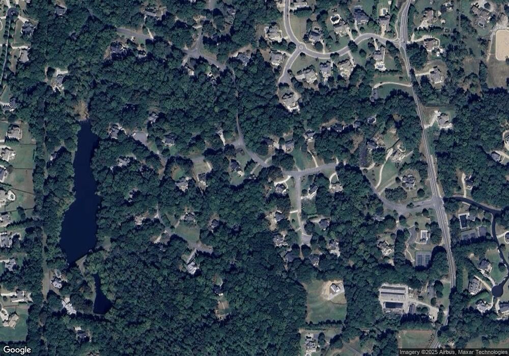
Map
Nearby Homes
- 560 Arcaro Dr
- 195 Blackberry Ridge Trail
- 363 Gables Walk
- 320 Blackberry Ridge Trail
- 393 Taylor Glen Dr
- 14560 Wood Rd
- 259 Milton Overlook Pass
- 325 Taylor Glen Dr
- 170 Golf Link View Unit 6B
- 648 Glenover Dr
- 608 Glenover Dr
- 345 Lake Bend Ct Unit 1
- 13980 Haystack Ln
- 910 Pleasant Hollow Trail
- 560 Lost River Bend
- 1411 Silver Fox Run
- 775 Lake Mist Cove
- 1104 Fox Ln
- 14300 Providence Rd
- 207 Milton Overlook Pass
- 475 Powers Court Ave Unit 2
- 495 Powers Court Ave Unit 1
- 115 Kiltirnan Ct
- 610 Glendalough Ct
- 820 Onagh Ct
- 830 Onagh Ct Unit 2
- 480 Powers Court Ave Unit 2
- 0 Powers Court Ave Unit 7232385
- 0 Powers Court Ave Unit 8585577
- 0 Powers Court Ave Unit 8654683
- 0 Powers Court Ave Unit 8868529
- 0 Powers Court Ave Unit 8763814
- 0 Powers Court Ave Unit 8551323
- 0 Powers Court Ave Unit 7071924
- 125 Kiltirnan Ct
- 490 Powers Court Ave Unit 67
- 490 Powers Court Ave Unit 1
- 490 Powers Court Ave
- 810 Onagh Ct
- 620 Glendalough Ct