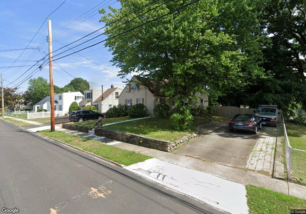
485 Ruth St Bridgeport, CT 06606
North End NeighborhoodEstimated Value: $386,829 - $431,000
3
Beds
1
Bath
1,541
Sq Ft
$265/Sq Ft
Est. Value
About This Home
This home is located at 485 Ruth St, Bridgeport, CT 06606 and is currently estimated at $408,207, approximately $264 per square foot. 485 Ruth St is a home located in Fairfield County with nearby schools including Blackham School, Central High School, and St Andrew School.
Create a Home Valuation Report for This Property
The Home Valuation Report is an in-depth analysis detailing your home's value as well as a comparison with similar homes in the area
Home Values in the Area
Average Home Value in this Area
Tax History
| Year | Tax Paid | Tax Assessment Tax Assessment Total Assessment is a certain percentage of the fair market value that is determined by local assessors to be the total taxable value of land and additions on the property. | Land | Improvement |
|---|---|---|---|---|
| 2025 | $6,115 | $140,740 | $75,310 | $65,430 |
| 2024 | $6,115 | $140,740 | $75,310 | $65,430 |
| 2023 | $6,115 | $140,740 | $75,310 | $65,430 |
| 2022 | $6,115 | $140,740 | $75,310 | $65,430 |
| 2021 | $6,115 | $140,740 | $75,310 | $65,430 |
| 2020 | $5,349 | $99,080 | $43,270 | $55,810 |
| 2019 | $5,349 | $99,080 | $43,270 | $55,810 |
| 2018 | $5,387 | $99,080 | $43,270 | $55,810 |
| 2017 | $5,387 | $99,080 | $43,270 | $55,810 |
| 2016 | $5,387 | $99,080 | $43,270 | $55,810 |
| 2015 | $5,272 | $124,920 | $49,980 | $74,940 |
| 2014 | $5,272 | $124,920 | $49,980 | $74,940 |
Source: Public Records
Map
Nearby Homes
- 646 Merritt St
- 375 Ruth St
- 669 Queen St
- 720 Queen St
- 604 Birmingham St
- 415 Jewett Ave
- 485 Peet St
- 255 Ruth St
- 462 Glendale Ave Unit 11
- 316 Goldenrod Ave
- 855 Burnsford Ave
- 345 Glendale Ave Unit A2
- 383 Birmingham St
- 335 Glendale Ave Unit G11
- 235 Burnsford Ave
- 495 Vincellette St Unit 12
- 932 Thorme St
- 1095 Wayne St
- 948 Wayne St
- 200 Woodmont Ave Unit 130
Your Personal Tour Guide
Ask me questions while you tour the home.