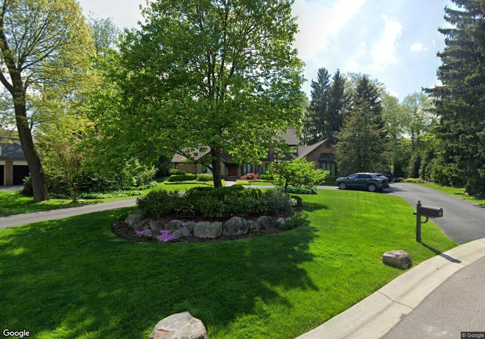
485 Stoneridge Ln Bloomfield Hills, MI 48302
Estimated Value: $889,258 - $1,587,000
4
Beds
3
Baths
3,538
Sq Ft
$335/Sq Ft
Est. Value
About This Home
This home is located at 485 Stoneridge Ln, Bloomfield Hills, MI 48302 and is currently estimated at $1,185,315, approximately $335 per square foot. 485 Stoneridge Ln is a home located in Oakland County with nearby schools including Way Elementary School, South Hills Middle School, and Bloomfield Hills High School.
Ownership History
Date
Name
Owned For
Owner Type
Purchase Details
Closed on
Feb 26, 2010
Sold by
Vacek Barbara R and Estate Of Betty R Nalon
Bought by
Coatesworth Timothy A and Coatesworth Denise
Current Estimated Value
Purchase Details
Closed on
Sep 6, 1991
Sold by
Nalon Gerald C and Nalon Betty R
Bought by
Nalon Betty R
Create a Home Valuation Report for This Property
The Home Valuation Report is an in-depth analysis detailing your home's value as well as a comparison with similar homes in the area
Home Values in the Area
Average Home Value in this Area
Purchase History
| Date | Buyer | Sale Price | Title Company |
|---|---|---|---|
| Coatesworth Timothy A | $425,000 | Devon Title Agency | |
| Nalon Betty R | -- | Lawyers Title Insurance Corp |
Source: Public Records
Tax History Compared to Growth
Tax History
| Year | Tax Paid | Tax Assessment Tax Assessment Total Assessment is a certain percentage of the fair market value that is determined by local assessors to be the total taxable value of land and additions on the property. | Land | Improvement |
|---|---|---|---|---|
| 2024 | $6,910 | $421,700 | $0 | $0 |
| 2023 | $6,687 | $381,200 | $0 | $0 |
| 2022 | $12,567 | $362,040 | $0 | $0 |
| 2021 | $12,477 | $363,060 | $0 | $0 |
| 2020 | $6,111 | $367,100 | $0 | $0 |
| 2019 | $11,730 | $369,520 | $0 | $0 |
| 2018 | $11,784 | $366,400 | $0 | $0 |
| 2017 | $11,700 | $379,230 | $0 | $0 |
| 2016 | $11,722 | $377,480 | $0 | $0 |
| 2015 | -- | $340,690 | $0 | $0 |
| 2014 | -- | $329,370 | $0 | $0 |
| 2011 | -- | $281,190 | $0 | $0 |
Source: Public Records
Map
Nearby Homes
- 3060 Chickering Ln
- 2863 Meadowood Ln
- 2875 Rambling Way
- 3403 Chickering Ln
- 3515 Brookside Dr
- 164 Timber Trace Ln
- 3531 Brookside Dr
- 3435 Devon Brook Dr
- 3627 Shallow Brook Dr
- 363 Sycamore Ct
- 240 Applewood Ln
- 284 Woodwind Dr
- 2851 Franklin Rd
- 425 Kendry
- 2665 Lahser Rd
- 136 Belroi Place
- 830 N Pemberton Rd
- 1250 Club Dr
- 3715 Lahser Rd
- 00 S Berkshire
- 465 Stoneridge Ln
- 495 Stoneridge Ln
- 460 Laurelwood Ct
- 500 Stoneridge Ln
- 3041 Chickering Ln
- 450 Stoneridge Ln
- 470 Stoneridge Ln
- 490 Laurelwood Ct
- 3200 Chickering Ln
- 455 Laurelwood Ct
- 000 W Hickory Grove Rd
- 467 Laurelwood Ct
- 3021 Chickering Ln
- 430 Stoneridge Ln
- 435 Stoneridge Ln
- 3040 Chickering Ln
- 2910 Meadowood Ln
- 3080 Chickering Ct
- 2987 Aspen Ln
- 400 Stoneridge Ln