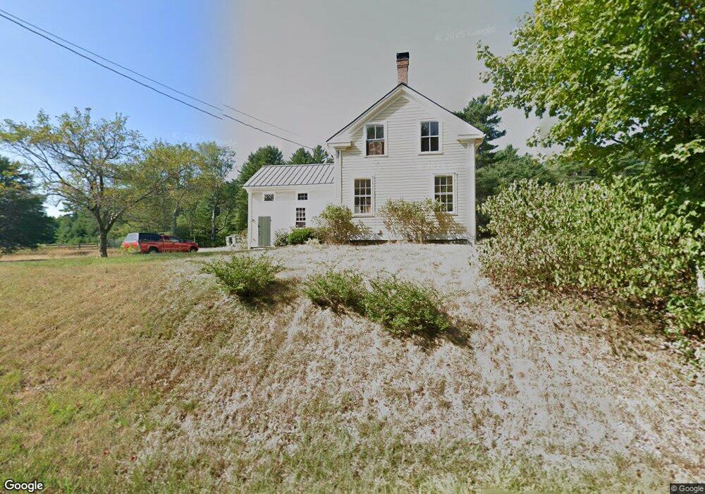
485 Tully Rd Orange, MA 01364
Estimated Value: $349,104 - $639,000
3
Beds
1
Bath
1,584
Sq Ft
$289/Sq Ft
Est. Value
About This Home
This home is located at 485 Tully Rd, Orange, MA 01364 and is currently estimated at $458,526, approximately $289 per square foot. 485 Tully Rd is a home located in Franklin County with nearby schools including Fisher Hill and Ralph C Mahar Regional School.
Ownership History
Date
Name
Owned For
Owner Type
Purchase Details
Closed on
Oct 13, 2021
Sold by
Conte Maureen H and Busby Robert W
Bought by
Timberdoodle Wee T
Current Estimated Value
Purchase Details
Closed on
Sep 8, 2008
Sold by
Conservati Mount Grace
Bought by
Conte Maureen H and Busby Robert W
Purchase Details
Closed on
Apr 16, 2008
Sold by
Gale Judith A
Bought by
Conse Mount Grace Land
Home Financials for this Owner
Home Financials are based on the most recent Mortgage that was taken out on this home.
Original Mortgage
$500,000
Interest Rate
6.1%
Mortgage Type
Purchase Money Mortgage
Create a Home Valuation Report for This Property
The Home Valuation Report is an in-depth analysis detailing your home's value as well as a comparison with similar homes in the area
Home Values in the Area
Average Home Value in this Area
Purchase History
| Date | Buyer | Sale Price | Title Company |
|---|---|---|---|
| Timberdoodle Wee T | -- | None Available | |
| Conte Maureen H | $275,000 | -- | |
| Conse Mount Grace Land | $500,000 | -- |
Source: Public Records
Mortgage History
| Date | Status | Borrower | Loan Amount |
|---|---|---|---|
| Previous Owner | Conse Mount Grace Land | $500,000 |
Source: Public Records
Tax History
| Year | Tax Paid | Tax Assessment Tax Assessment Total Assessment is a certain percentage of the fair market value that is determined by local assessors to be the total taxable value of land and additions on the property. | Land | Improvement |
|---|---|---|---|---|
| 2025 | $47 | $287,150 | $62,650 | $224,500 |
| 2024 | $4,404 | $252,550 | $62,650 | $189,900 |
| 2023 | $4,090 | $227,750 | $62,650 | $165,100 |
| 2022 | $3,859 | $201,850 | $62,650 | $139,200 |
| 2021 | $3,385 | $168,850 | $75,150 | $93,700 |
| 2020 | $3,331 | $163,850 | $74,750 | $89,100 |
| 2019 | $3,107 | $137,963 | $58,063 | $79,900 |
| 2018 | $3,003 | $136,883 | $64,283 | $72,600 |
| 2017 | $2,906 | $136,883 | $64,283 | $72,600 |
| 2016 | $2,657 | $122,463 | $55,763 | $66,700 |
| 2015 | $2,641 | $127,150 | $59,450 | $67,700 |
| 2014 | $2,650 | $134,250 | $59,450 | $74,800 |
Source: Public Records
Map
Nearby Homes
- 15 A-B Tully Rd
- 109 Royalston Rd
- 78 Athol Richmond Rd
- 15 Tully Rd
- 0 Adams Dr
- 660 Pinedale Ave
- 30 N Fitzwilliam Rd
- 12 On the Common
- 0 Northfield Rd Unit 73441997
- 0 S Royalston Rd
- 0 W Royalston Rd
- 1 Lenox St
- 87 Bellevue Dr E
- 330 N Orange Rd
- 77 Old Keene Rd
- lot 12 N Fitzwilliam Rd
- 15 Wilson Ave
- 23 Mount Pleasant St
- 75 C St
- 60 Silver Lake St
- 42 Butterworth Rd
- 92 Butterworth Rd
- 62 Butterworth Rd
- 104 Butterworth Rd
- 465 Tully Rd
- 80 Butterworth Rd
- 497 Tully Rd
- 120 Butterworth Rd
- 455 Tully Rd
- 146 Butterworth Rd
- 174 Butterworth Rd
- 517 Tully Rd
- 286 Butterworth Rd Unit 1
- 288 Butterworth Rd Unit 2
- 286 Butterworth Rd Unit 288
- 445 Tully Rd
- 527 Tully Rd
- 441 Tully Rd
- 437 Tully Rd
- 537 Tully Rd
Your Personal Tour Guide
Ask me questions while you tour the home.