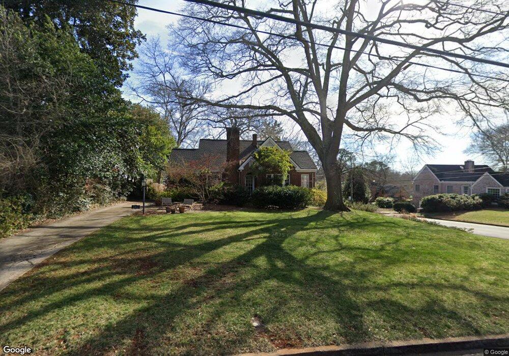
485 W Cloverhurst Ave Athens, GA 30606
Five Points NeighborhoodEstimated Value: $904,000 - $1,064,000
--
Bed
--
Bath
2,154
Sq Ft
$462/Sq Ft
Est. Value
About This Home
This home is located at 485 W Cloverhurst Ave, Athens, GA 30606 and is currently estimated at $994,889, approximately $461 per square foot. 485 W Cloverhurst Ave is a home located in Clarke County with nearby schools including Barrow Elementary School, Clarke Middle School, and Clarke Central High School.
Ownership History
Date
Name
Owned For
Owner Type
Purchase Details
Closed on
Feb 28, 2002
Sold by
Andrews Florrie and Lover Ruby A
Bought by
Liken Christopher J and Fiona Liken J
Current Estimated Value
Purchase Details
Closed on
Dec 11, 1996
Sold by
Andrews Ollie
Bought by
Andrews Florrie and Lovern Ruby A
Purchase Details
Closed on
Oct 31, 1994
Sold by
Linder David K
Bought by
Shields Shields J and Shields Pamela F
Purchase Details
Closed on
May 10, 1993
Sold by
Andrews Florrie and Lovern Ruby A
Bought by
Linder David K
Create a Home Valuation Report for This Property
The Home Valuation Report is an in-depth analysis detailing your home's value as well as a comparison with similar homes in the area
Home Values in the Area
Average Home Value in this Area
Purchase History
| Date | Buyer | Sale Price | Title Company |
|---|---|---|---|
| Liken Christopher J | $303,000 | -- | |
| Andrews Florrie | -- | -- | |
| Shields Shields J | $150,000 | -- | |
| Linder David K | -- | -- |
Source: Public Records
Tax History Compared to Growth
Tax History
| Year | Tax Paid | Tax Assessment Tax Assessment Total Assessment is a certain percentage of the fair market value that is determined by local assessors to be the total taxable value of land and additions on the property. | Land | Improvement |
|---|---|---|---|---|
| 2025 | $7,205 | $415,363 | $88,800 | $326,563 |
| 2024 | $7,205 | $354,320 | $88,800 | $265,520 |
| 2023 | $7,271 | $323,919 | $88,800 | $235,119 |
| 2022 | $6,881 | $293,237 | $86,400 | $206,837 |
| 2021 | $6,706 | $253,265 | $86,400 | $166,865 |
| 2020 | $6,598 | $245,394 | $86,400 | $158,994 |
| 2019 | $6,476 | $232,407 | $86,400 | $146,007 |
| 2018 | $5,836 | $186,523 | $72,000 | $114,523 |
| 2017 | $5,808 | $184,555 | $72,000 | $112,555 |
| 2016 | $5,726 | $178,652 | $72,000 | $106,652 |
| 2015 | $5,571 | $173,852 | $67,200 | $106,652 |
| 2014 | $5,580 | $173,852 | $67,200 | $106,652 |
Source: Public Records
Map
Nearby Homes
- 577 W Cloverhurst Ave
- 265 Springdale St
- 338 Springdale St
- 997 S Milledge Ave Unit 2
- 997 S Milledge Ave Unit 3
- 997 S Milledge Ave Unit 1
- 997 S Milledge Ave Unit 4
- 490 Mcwhorter Dr
- 206 Fortson Dr
- 224 Fortson Dr
- 590 Highland Ave
- 255 Bloomfield St
- 290 Fortson Dr
- 441 Milledge Cir
- 277 Evans St
- 597 Dearing St
- 483 W Cloverhurst Ave
- 289 Stanton Way
- 525 W Cloverhurst Ave
- 465 W Cloverhurst Ave
- 280 Stanton Way
- 535 W Cloverhurst Ave
- 288 Stanton Way
- 445 W Cloverhurst Ave
- 494 W Cloverhurst Ave
- 520 W Cloverhurst Ave
- 545 W Cloverhurst Ave
- 490 W Rutherford St
- 290 Stanton Way
- 530 W Cloverhurst Ave
- 425 W Cloverhurst Ave
- 484 W Cloverhurst Ave
- 555 W Cloverhurst Ave
- 480 W Rutherford St
- 296 Stanton Way
- W W Cloverhurst Ave