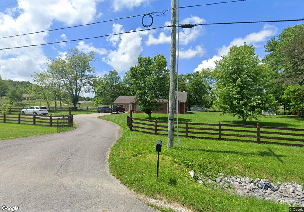
485 West St Brodhead, KY 40409
Estimated Value: $183,000 - $209,000
2
Beds
1
Bath
768
Sq Ft
$258/Sq Ft
Est. Value
About This Home
This home is located at 485 West St, Brodhead, KY 40409 and is currently estimated at $197,797, approximately $257 per square foot. 485 West St is a home with nearby schools including Rockcastle County High School.
Ownership History
Date
Name
Owned For
Owner Type
Purchase Details
Closed on
Nov 19, 2019
Sold by
Smith Judy and Smith Rodney L
Bought by
Joenborg Kevin and Joenborg Mary Saylor
Current Estimated Value
Purchase Details
Closed on
Mar 2, 2016
Sold by
Smith Judy and Smith Rodney L
Bought by
Smith Judy and Smith Rodney L
Purchase Details
Closed on
Dec 15, 2010
Sold by
Bustle Elbert Carl and Bustle Trina G
Bought by
Stevens Judy
Home Financials for this Owner
Home Financials are based on the most recent Mortgage that was taken out on this home.
Original Mortgage
$72,000
Interest Rate
4.4%
Mortgage Type
Future Advance Clause Open End Mortgage
Create a Home Valuation Report for This Property
The Home Valuation Report is an in-depth analysis detailing your home's value as well as a comparison with similar homes in the area
Purchase History
| Date | Buyer | Sale Price | Title Company |
|---|---|---|---|
| Joenborg Kevin | $140,000 | None Available | |
| Smith Judy | -- | None Available | |
| Stevens Judy | $18,000 | -- |
Source: Public Records
Mortgage History
| Date | Status | Borrower | Loan Amount |
|---|---|---|---|
| Previous Owner | Stevens Judy | $72,000 |
Source: Public Records
Tax History
| Year | Tax Paid | Tax Assessment Tax Assessment Total Assessment is a certain percentage of the fair market value that is determined by local assessors to be the total taxable value of land and additions on the property. | Land | Improvement |
|---|---|---|---|---|
| 2025 | $1,302 | $160,000 | $0 | $0 |
| 2024 | $1,310 | $160,000 | $0 | $0 |
| 2023 | $1,159 | $140,000 | $0 | $0 |
| 2022 | $1,149 | $140,000 | $0 | $0 |
| 2021 | $1,158 | $140,000 | $0 | $0 |
| 2020 | $1,157 | $140,000 | $0 | $0 |
| 2019 | $657 | $80,000 | $0 | $0 |
| 2018 | $655 | $80,000 | $0 | $0 |
| 2017 | $651 | $80,000 | $0 | $0 |
| 2016 | $637 | $80,000 | $0 | $0 |
| 2015 | -- | $80,000 | $0 | $0 |
| 2010 | -- | $16,000 | $0 | $0 |
Source: Public Records
Map
Nearby Homes
- 15 Lane St
- 152 Pike St
- 42 Pike St
- 476 Tyree St
- 000 Dug Hill Rd Unit Tract 13
- 5256 Hwy 1326
- 200 Rd
- 999 Tar Kiln
- 1450 Simpson Rd
- 91 Barnett Rd
- 9550 Dysart Way
- 215 Cooper Dr
- 2751 Brindle Ridge Rd
- 2727 Brindle Ridge Rd
- 573 Highway 1505
- 570 Edwards Rd
- 861 Barnett Rd
- 1305 Maretburg Cemetery Rd
- 2999 Copper Creek Rd
- 7101 Quail Rd
Your Personal Tour Guide
Ask me questions while you tour the home.