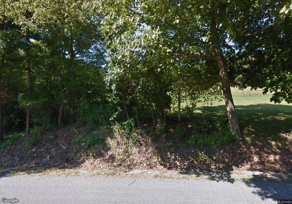
4850 Curllsville Rd New Bethlehem, PA 16242
Estimated Value: $210,000 - $267,733
3
Beds
2
Baths
1,508
Sq Ft
$155/Sq Ft
Est. Value
About This Home
This home is located at 4850 Curllsville Rd, New Bethlehem, PA 16242 and is currently estimated at $233,933, approximately $155 per square foot. 4850 Curllsville Rd is a home located in Clarion County with nearby schools including Clarion Area Elementary School, Clarion Area Junior/Senior High School, and New Bethlehem Mennonite School.
Ownership History
Date
Name
Owned For
Owner Type
Purchase Details
Closed on
Dec 9, 2011
Sold by
Burkhouse Bryan S and Burkhouse Juliie D
Bought by
Wilson Kory M and Wilson Jannie M
Current Estimated Value
Home Financials for this Owner
Home Financials are based on the most recent Mortgage that was taken out on this home.
Original Mortgage
$135,204
Outstanding Balance
$92,444
Interest Rate
4%
Estimated Equity
$141,489
Purchase Details
Closed on
May 13, 2011
Sold by
Burkhouse Bryan S and Burkhouse Julie D
Bought by
Commonwealth Of Pennsylvania Department
Create a Home Valuation Report for This Property
The Home Valuation Report is an in-depth analysis detailing your home's value as well as a comparison with similar homes in the area
Home Values in the Area
Average Home Value in this Area
Purchase History
| Date | Buyer | Sale Price | Title Company |
|---|---|---|---|
| Wilson Kory M | $132,500 | -- | |
| Commonwealth Of Pennsylvania Department | -- | -- |
Source: Public Records
Mortgage History
| Date | Status | Borrower | Loan Amount |
|---|---|---|---|
| Open | Wilson Kory M | $135,204 |
Source: Public Records
Tax History Compared to Growth
Tax History
| Year | Tax Paid | Tax Assessment Tax Assessment Total Assessment is a certain percentage of the fair market value that is determined by local assessors to be the total taxable value of land and additions on the property. | Land | Improvement |
|---|---|---|---|---|
| 2025 | $1,715 | $23,674 | $3,660 | $20,014 |
| 2024 | $1,680 | $23,674 | $3,660 | $20,014 |
| 2023 | $1,614 | $23,674 | $3,660 | $20,014 |
| 2022 | $1,600 | $23,674 | $3,660 | $20,014 |
| 2021 | $1,525 | $23,674 | $3,660 | $20,014 |
| 2020 | $1,343 | $23,674 | $3,660 | $20,014 |
| 2019 | $1,343 | $23,674 | $3,660 | $20,014 |
| 2018 | $1,317 | $22,494 | $3,660 | $18,834 |
Source: Public Records
Map
Nearby Homes
- 61 Rankin Rd
- 0 Borovick Rd
- 438 Rockville Rd
- 0 Walker Farm Rd
- 1106 Huey Rd
- 230 Smithland Rd
- 3684 Huckleberry Ridge
- 91 Mill St
- 346 Lawsonham St
- 441 Main St
- 233 & 231 Main Street and 34 Monterey St
- 1018 Lawsonham Rd
- 0 Monterey Rd Unit 1721039
- 193 Monterey Rd
- 0 Mt Airy Rd Unit LotWP001
- 0
- 7264 Route 66
- 3948 Piney Dam Rd
- 3865 Piney Dam Rd
- 422 Saint Charles Rd
- 5024 Curllsville Rd
- 716 Hill Rd
- 1496 Locker Rd
- 0 Courson Rd Unit 158869
- 0 T-485
- 303 Forrest Rd
- 1329 Locker Rd
- 1077 Hill Rd
- 136 Tin Town Rd
- 232 Moggey Rd
- 168 Tin Town Rd
- 3750 Curllsville Rd
- 106 Tin Town Rd
- 150 Tin Town Rd
- 3703 Curllsville Rd
- 323 Moggey Rd
- 1278 Hill Rd
- 3684 Curllsville Rd
- 115 Tin Town Rd
- 3684 Huck Hucklebrry Ridge
