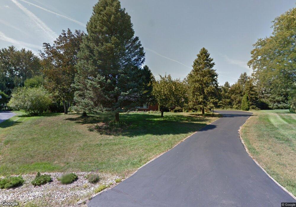
4850 Kew Ct Bloomfield Hills, MI 48301
Estimated Value: $641,000 - $719,000
3
Beds
4
Baths
2,686
Sq Ft
$248/Sq Ft
Est. Value
About This Home
This home is located at 4850 Kew Ct, Bloomfield Hills, MI 48301 and is currently estimated at $667,295, approximately $248 per square foot. 4850 Kew Ct is a home located in Oakland County with nearby schools including Wylie E. Groves High School, West Maple Elementary School, and Berkshire Middle School.
Ownership History
Date
Name
Owned For
Owner Type
Purchase Details
Closed on
May 5, 2006
Sold by
Estate Of Virginia E Curran and Smith Christine A
Bought by
Meyers Lonnie W and Meyers Staci Ann
Current Estimated Value
Home Financials for this Owner
Home Financials are based on the most recent Mortgage that was taken out on this home.
Original Mortgage
$274,000
Outstanding Balance
$159,956
Interest Rate
6.54%
Mortgage Type
Purchase Money Mortgage
Estimated Equity
$507,339
Create a Home Valuation Report for This Property
The Home Valuation Report is an in-depth analysis detailing your home's value as well as a comparison with similar homes in the area
Home Values in the Area
Average Home Value in this Area
Purchase History
| Date | Buyer | Sale Price | Title Company |
|---|---|---|---|
| Meyers Lonnie W | $342,500 | None Available |
Source: Public Records
Mortgage History
| Date | Status | Borrower | Loan Amount |
|---|---|---|---|
| Open | Meyers Lonnie W | $274,000 |
Source: Public Records
Tax History Compared to Growth
Tax History
| Year | Tax Paid | Tax Assessment Tax Assessment Total Assessment is a certain percentage of the fair market value that is determined by local assessors to be the total taxable value of land and additions on the property. | Land | Improvement |
|---|---|---|---|---|
| 2024 | $4,512 | $285,540 | $0 | $0 |
| 2023 | $4,330 | $274,160 | $0 | $0 |
| 2022 | $7,329 | $268,710 | $0 | $0 |
| 2021 | $6,845 | $240,250 | $0 | $0 |
| 2020 | $3,852 | $229,190 | $0 | $0 |
| 2019 | $6,834 | $203,330 | $0 | $0 |
| 2018 | $6,890 | $203,550 | $0 | $0 |
| 2017 | $6,832 | $199,880 | $0 | $0 |
| 2016 | $6,815 | $191,260 | $0 | $0 |
| 2015 | -- | $147,200 | $0 | $0 |
| 2014 | -- | $135,240 | $0 | $0 |
| 2011 | -- | $125,590 | $0 | $0 |
Source: Public Records
Map
Nearby Homes
- 7315 Lindenmere Dr
- 7371 Lindenmere Dr
- 2014 Waldons Ct
- 27170 W 14 Mile Rd
- 32620 Inkster Rd
- 4647 Private Lake Dr
- 6730 Halyard Rd
- 6800 N Clunbury Rd
- 27261 Willowgreen Ct
- 32500 Rock Ridge Ln
- 6940 Castle Dr
- 7250 Ten Hill
- 7310 Sandy Creek Ln
- 6720 Castle Dr
- 26565 Scenic Hwy
- 26426 Scenic Hwy
- 28786 Rockledge Dr
- 4665 W Maple Rd
- 6420 Apple Grove Ln Unit 10
- 25690 W 14 Mile Rd
- 7265 Mohansic Dr
- 4861 Kew Ct
- 7329 Mohansic Dr
- 4849 Kew Ct
- 7243 Mohansic Dr
- 7176 Lindenmere Dr
- 4837 Kew Ct
- 7164 Lindenmere Dr
- 7353 Mohansic Dr
- 0000 Old Post Ct
- 7250 Mohansic Dr
- 7284 Mohansic Dr Unit Bldg-Unit
- 7284 Mohansic Dr
- 7312 Mohansic Dr
- 7318 Lindenmere Dr
- 7332 Lindenmere Dr
- 7302 Lindenmere Dr
- 7202 Lindenmere Dr
- 7332 Mohansic Dr
- 7230 Mohansic Dr