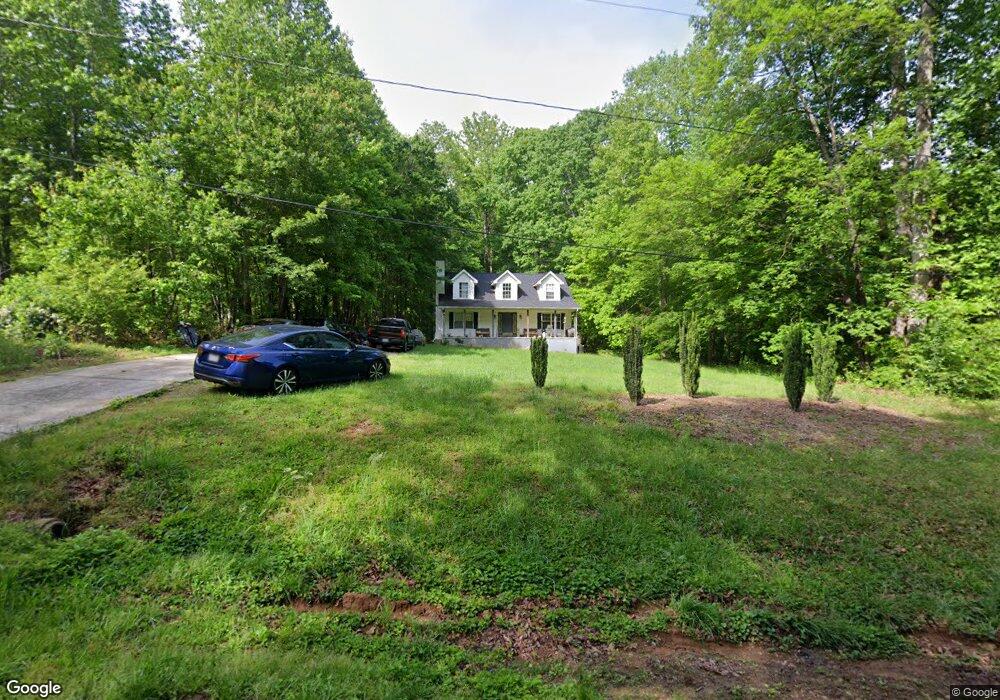
4850 Sandusky St Winston Salem, NC 27105
Ogburn Station NeighborhoodEstimated Value: $172,228 - $268,000
3
Beds
2
Baths
1,626
Sq Ft
$135/Sq Ft
Est. Value
About This Home
This home is located at 4850 Sandusky St, Winston Salem, NC 27105 and is currently estimated at $219,807, approximately $135 per square foot. 4850 Sandusky St is a home located in Forsyth County with nearby schools including Ibraham Elementary School, Mineral Springs Middle School, and Walkertown High School.
Ownership History
Date
Name
Owned For
Owner Type
Purchase Details
Closed on
Oct 1, 1998
Sold by
Elms John W and Elms Hudson H
Bought by
Bartlett Scott T and Bartlett Tammy L
Current Estimated Value
Home Financials for this Owner
Home Financials are based on the most recent Mortgage that was taken out on this home.
Original Mortgage
$125,350
Interest Rate
6.61%
Create a Home Valuation Report for This Property
The Home Valuation Report is an in-depth analysis detailing your home's value as well as a comparison with similar homes in the area
Home Values in the Area
Average Home Value in this Area
Purchase History
| Date | Buyer | Sale Price | Title Company |
|---|---|---|---|
| Bartlett Scott T | $9,500 | -- |
Source: Public Records
Mortgage History
| Date | Status | Borrower | Loan Amount |
|---|---|---|---|
| Closed | Bartlett Scott T | $125,350 |
Source: Public Records
Tax History Compared to Growth
Tax History
| Year | Tax Paid | Tax Assessment Tax Assessment Total Assessment is a certain percentage of the fair market value that is determined by local assessors to be the total taxable value of land and additions on the property. | Land | Improvement |
|---|---|---|---|---|
| 2025 | $1,317 | $214,300 | $23,000 | $191,300 |
| 2024 | $1,257 | $93,900 | $14,500 | $79,400 |
| 2023 | $1,257 | $93,900 | $14,500 | $79,400 |
| 2022 | $1,234 | $93,900 | $14,500 | $79,400 |
| 2021 | $1,211 | $0 | $0 | $0 |
| 2020 | $1,105 | $80,000 | $13,100 | $66,900 |
| 2019 | $1,113 | $80,000 | $13,100 | $66,900 |
| 2018 | $1,057 | $80,000 | $13,100 | $66,900 |
| 2016 | $1,261 | $95,827 | $12,600 | $83,227 |
| 2015 | $1,242 | $95,827 | $12,600 | $83,227 |
| 2014 | $1,204 | $95,827 | $12,600 | $83,227 |
Source: Public Records
Map
Nearby Homes
- 4880 Phelps Dr
- 4441 White Rock Rd
- 4429 White Rock Rd
- 4965 Lyman Rd
- 4871 Phelps Dr
- 4761 Ader Dr
- 5061 Ozark St
- 5036 Baux Mountain Rd
- 5040 Baux Mountain Rd
- 00 Davis Rd
- 0 Davis Rd Unit 1183506
- 5076 Ozark Rd
- 0 Northwest Dr
- 5025 Appalachian Rd
- 1309 Pleasant View Dr
- 1185 Blackburn Rd
- 00 Old Hollow Rd
- 5012 Sitka Rd
- 1700 Old Hollow Rd
- 5149 Alaska Rd
- 4900 Sandusky St
- 4830 Sandusky St
- 0 Sandusky St
- 4820 Sandusky St
- 4819 Sandusky St
- 4823 Sandusky St
- 4816 Sandusky St
- 4855 Phelps Dr
- 4815 Sandusky St
- 4835 Westmoreland Dr
- 4837 Westmoreland Dr
- 4825 Westmoreland Dr
- 4823 Westmoreland Dr
- 4845 Westmoreland Dr
- 0 Westmoreland Dr Unit 1101004
- 0 Westmoreland Dr
- 4819 Westmoreland Dr
- 4851 Westmoreland Dr
- 4853 Westmoreland Dr
- 4876 Phelps Dr