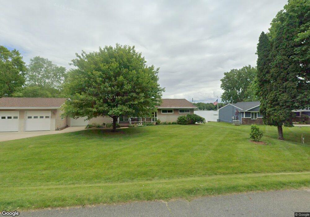
4851 Apache Path Owosso, MI 48867
Estimated Value: $338,000 - $537,000
Studio
--
Bath
--
Sq Ft
21,562
Sq Ft Lot
About This Home
This home is located at 4851 Apache Path, Owosso, MI 48867 and is currently estimated at $424,642. 4851 Apache Path is a home located in Shiawassee County with nearby schools including Owosso High School and Owosso Christian School.
Ownership History
Date
Name
Owned For
Owner Type
Purchase Details
Closed on
Jul 13, 2022
Sold by
Wyzga Anthony H and Wyzga Linda M
Bought by
Wyzga Anthony H and Wyzga Linda M
Current Estimated Value
Purchase Details
Closed on
Jul 29, 2019
Sold by
Edward Joseph Hachenski A Nd Sylvia An and Hachenski Gerald E
Bought by
Wyzga Anthony H and Wyzga Linda M
Home Financials for this Owner
Home Financials are based on the most recent Mortgage that was taken out on this home.
Interest Rate
3.75%
Create a Home Valuation Report for This Property
The Home Valuation Report is an in-depth analysis detailing your home's value as well as a comparison with similar homes in the area
Purchase History
| Date | Buyer | Sale Price | Title Company |
|---|---|---|---|
| Wyzga Anthony H | -- | None Listed On Document | |
| Wyzga Anthony H | $243,500 | -- |
Source: Public Records
Mortgage History
| Date | Status | Borrower | Loan Amount |
|---|---|---|---|
| Previous Owner | Wyzga Anthony H | -- |
Source: Public Records
Tax History
| Year | Tax Paid | Tax Assessment Tax Assessment Total Assessment is a certain percentage of the fair market value that is determined by local assessors to be the total taxable value of land and additions on the property. | Land | Improvement |
|---|---|---|---|---|
| 2025 | $121 | $221,500 | $0 | $0 |
| 2024 | $111 | $220,700 | $0 | $0 |
| 2023 | $1 | $0 | $0 | $0 |
| 2022 | $45 | $0 | $0 | $0 |
| 2021 | $45 | $0 | $0 | $0 |
| 2020 | $45 | $0 | $0 | $0 |
| 2019 | $2,482 | $105,600 | $0 | $0 |
| 2018 | $2,514 | $106,100 | $0 | $0 |
| 2017 | $2,030 | $101,500 | $0 | $0 |
| 2016 | -- | $101,500 | $0 | $0 |
| 2015 | -- | $101,000 | $0 | $0 |
| 2014 | $8 | $98,000 | $0 | $0 |
Source: Public Records
Map
Nearby Homes
- 4458 S M 52
- V/L Morrice Rd Rd
- 2590 S Morrice Rd
- 0 Gale Rd Unit 50124635
- 2431 S Morrice Rd
- 7047 Bennington Greens Dr
- 2375 W Dewey Rd
- 2930 S Ruess Rd
- 20 Bennington Greens Dr
- 26 Bennington Greens Dr Unit 26
- 24 Bennington Greens Dr
- 25 Bennington Greens Dr
- 38 Bennington Greens
- 7697 Riverview St
- 122 Innsbrook Dr
- 3062 Innsbrook Dr
- 3287 Oakview Dr
- 1860 Michigan 52
- 539 W Wildwood Dr
- 1648 S M 52
- 4857 Apache Path
- 4845 Apache Path
- 4858 Apache Path
- 4844 Apache Path
- 4844 Apache Path
- 4844 Apache Path
- 4811 Mohican Trail
- 4863 Apache Path
- 4831 Mohican Trail
- 4869 Apache Path
- 4868 Apache Path
- 4837 Mohican Trail
- 4837 Mohican Trail
- 4843 Mohican Trail
- 4871 Apache Path
- 4878 Apache Path
- 4799 Mohican Trail
- 4849 Mohican Trail
- 4849 Mohican Trail
- 4861 Mohican Trail
Your Personal Tour Guide
Ask me questions while you tour the home.