Estimated Value: $371,000 - $461,000
4
Beds
2
Baths
2,391
Sq Ft
$180/Sq Ft
Est. Value
About This Home
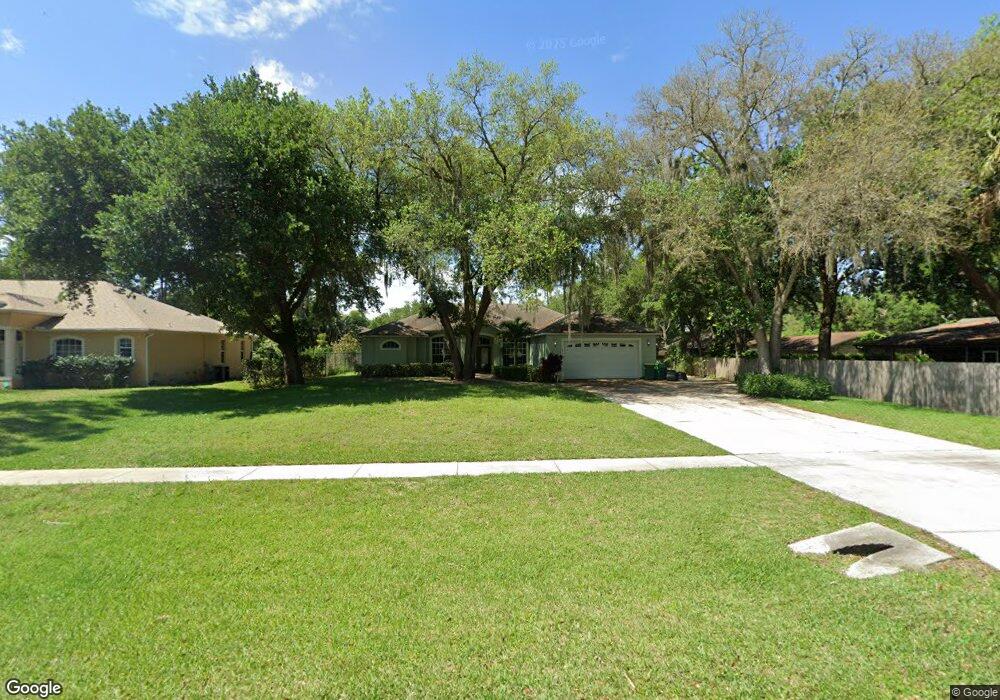
This home is located at 4851 Falcon Blvd, Cocoa, FL 32927 and is currently estimated at $429,451, approximately $179 per square foot. 4851 Falcon Blvd is a home located in Brevard County with nearby schools including Atlantis Elementary School, Space Coast Junior/Senior High School, and Sculptor Charter School.
Ownership History
Date
Name
Owned For
Owner Type
Purchase Details
Closed on
Jul 29, 2004
Sold by
Strategic Development Consultants Inc
Bought by
Bray Steven Lee and Bray Rhonda Fay
Current Estimated Value
Home Financials for this Owner
Home Financials are based on the most recent Mortgage that was taken out on this home.
Original Mortgage
$49,600
Interest Rate
6.25%
Create a Home Valuation Report for This Property
The Home Valuation Report is an in-depth analysis detailing your home's value as well as a comparison with similar homes in the area
Home Values in the Area
Average Home Value in this Area
Purchase History
| Date | Buyer | Sale Price | Title Company |
|---|---|---|---|
| Bray Steven Lee | $62,000 | Landmark Title Agency Inc |
Source: Public Records
Mortgage History
| Date | Status | Borrower | Loan Amount |
|---|---|---|---|
| Closed | Bray Steven Lee | $49,600 |
Source: Public Records
Tax History
| Year | Tax Paid | Tax Assessment Tax Assessment Total Assessment is a certain percentage of the fair market value that is determined by local assessors to be the total taxable value of land and additions on the property. | Land | Improvement |
|---|---|---|---|---|
| 2025 | $2,335 | $167,220 | -- | -- |
| 2024 | $2,290 | $162,510 | -- | -- |
| 2023 | $2,290 | $157,780 | $0 | $0 |
| 2022 | $2,147 | $153,190 | $0 | $0 |
| 2021 | $2,173 | $148,730 | $0 | $0 |
| 2020 | $2,090 | $146,680 | $0 | $0 |
| 2019 | $2,031 | $143,390 | $0 | $0 |
| 2018 | $2,030 | $140,720 | $0 | $0 |
| 2017 | $1,690 | $115,310 | $0 | $0 |
| 2016 | $1,701 | $112,940 | $19,800 | $93,140 |
| 2015 | $1,729 | $112,160 | $16,500 | $95,660 |
| 2014 | $1,734 | $111,270 | $12,100 | $99,170 |
Source: Public Records
Map
Nearby Homes
- 4765 Curtis Blvd
- 6990 Camden Ave
- 4824 Curtis Blvd
- 7045 Grissom Pkwy
- 4760 Ivan St
- 4625 Curtis Blvd
- 7155 Export Ave
- 6820 Caliph Ave
- 7245 Grissom Pkwy
- 4575 Curtis Blvd
- 5080 Mayflower St
- 5075 Carter St
- 7363 Glenwood Rd
- 5200 Frisco St
- 4790 Greenhill St
- 6947 Carlowe Ave
- 4715 Greenhill St
- 5155 Mayflower St
- 5165 Patricia St
- 4852 Alfred St
- 4843 Falcon Blvd
- 4809 Doreen Rd
- 4801 Doreen Rd
- 4815 Doreen Rd
- 4821 Falcon Blvd
- 4790 Curtis
- 4820 Curtis Blvd
- 4825 Doreen Rd
- 4800 Curtis Blvd
- 4787 Doreen Rd
- 4900 Patricia St
- 4871 Falcon Blvd
- 4775 Doreen Rd
- 0 Patricia St
- 4845 Doreen Rd Unit 8
- 4908 Patricia St
- 4870 Falcon Blvd
- 4830 Doreen Rd
- 4801 Falcon
- 4887 Falcon Blvd
Your Personal Tour Guide
Ask me questions while you tour the home.