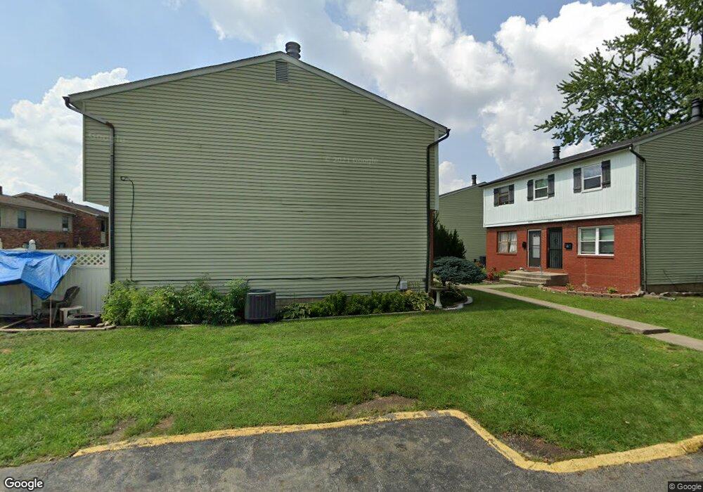
4851 Snowbird Cir Columbus, OH 43229
Forest Park East NeighborhoodEstimated Value: $120,000 - $144,035
3
Beds
2
Baths
1,084
Sq Ft
$124/Sq Ft
Est. Value
About This Home
This home is located at 4851 Snowbird Cir, Columbus, OH 43229 and is currently estimated at $134,009, approximately $123 per square foot. 4851 Snowbird Cir is a home located in Franklin County with nearby schools including Parkmoor Elementary School, Woodward Park Middle School, and Northland High School.
Ownership History
Date
Name
Owned For
Owner Type
Purchase Details
Closed on
May 20, 2002
Sold by
Charter One Credit Corp
Bought by
Mcelroy Marjorie
Current Estimated Value
Purchase Details
Closed on
Nov 14, 2001
Sold by
Whitlow Helen R
Bought by
Charter One Credit Corp and Equity One Credit Corp
Purchase Details
Closed on
Dec 1, 1978
Create a Home Valuation Report for This Property
The Home Valuation Report is an in-depth analysis detailing your home's value as well as a comparison with similar homes in the area
Home Values in the Area
Average Home Value in this Area
Purchase History
| Date | Buyer | Sale Price | Title Company |
|---|---|---|---|
| Mcelroy Marjorie | $47,000 | -- | |
| Charter One Credit Corp | $35,000 | Independent Title | |
| -- | $33,900 | -- |
Source: Public Records
Tax History Compared to Growth
Tax History
| Year | Tax Paid | Tax Assessment Tax Assessment Total Assessment is a certain percentage of the fair market value that is determined by local assessors to be the total taxable value of land and additions on the property. | Land | Improvement |
|---|---|---|---|---|
| 2024 | $3,222 | $43,020 | $5,250 | $37,770 |
| 2023 | $2,097 | $43,020 | $5,250 | $37,770 |
| 2022 | $1,472 | $17,080 | $2,100 | $14,980 |
| 2021 | $909 | $17,080 | $2,100 | $14,980 |
| 2020 | $911 | $17,080 | $2,100 | $14,980 |
| 2019 | $1,062 | $17,080 | $2,100 | $14,980 |
| 2018 | $973 | $17,080 | $2,100 | $14,980 |
| 2017 | $1,062 | $17,080 | $2,100 | $14,980 |
| 2016 | $973 | $14,320 | $1,960 | $12,360 |
| 2015 | $886 | $14,320 | $1,960 | $12,360 |
| 2014 | $888 | $14,320 | $1,960 | $12,360 |
| 2013 | $461 | $15,085 | $2,065 | $13,020 |
Source: Public Records
Map
Nearby Homes
- 4866 Woodthrush Way
- 4923 Karl Rd Unit 4925
- 5022 Sienna Ln
- 5004 Julie Place
- 4816 Bourke Rd
- 4800 Bourke Rd
- 4761 Colonel Perry Dr
- 1704 Riverbirch Dr
- 1744 Riverbirch Dr
- 4815 Bourke Rd
- 1414 Alvina Dr
- 4714 Ascot Dr
- 1385 Thurell Rd
- 2033 Brittany Rd
- 5124 Northcliff Loop W
- 4849 Heatherton Dr
- 2134 Trent Rd
- 4885 Northtowne Blvd
- 2058 Northcliff Dr
- 4840 Almont Dr
- 4853 Snowbird Cir Unit 9B
- 4847 Snowbird Cir Unit 10B
- 4855 Snowbird Cir Unit 11A
- 4855 Snowbird Cir Unit A
- 4857 Snowbird Cir
- 4849 Snowbird Cir Unit 10A
- 4845 Snowbird Cir
- 4843 Snowbird Cir Unit 12B
- 1727 Nestling Dr
- 1719 Nestling Dr
- 4860 Woodthrush Way Unit 4860
- 4862 Woodthrush Way Unit 4862
- 4858 Woodthrush Way Unit 4858
- 1711 Nestling Dr
- 1735 Nestling Dr
- 4856 Woodthrush Way Unit 4856
- 4864 Woodthrush Way
- 1703 Nestling Dr
- 4868 Woodthrush Way
- 4870 Woodthrush Way