Estimated Value: $317,384 - $357,000
3
Beds
2
Baths
1,837
Sq Ft
$185/Sq Ft
Est. Value
About This Home
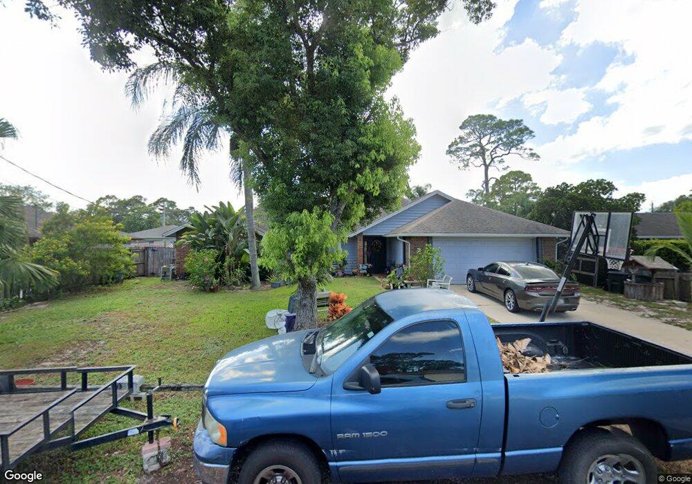
This home is located at 4852 Bridge Rd, Cocoa, FL 32927 and is currently estimated at $339,346, approximately $184 per square foot. 4852 Bridge Rd is a home located in Brevard County with nearby schools including Challenger 7 Elementary School, Space Coast Junior/Senior High School, and East Atlantic Prep of Brevard County.
Ownership History
Date
Name
Owned For
Owner Type
Purchase Details
Closed on
Sep 26, 2019
Sold by
Minnick Diana L and Minnick Allen W
Bought by
Crawford Melissa
Current Estimated Value
Purchase Details
Closed on
Jul 27, 1994
Sold by
Eatman Ronald D
Bought by
Minnick Allen W and Minnick Diana L
Home Financials for this Owner
Home Financials are based on the most recent Mortgage that was taken out on this home.
Original Mortgage
$91,670
Interest Rate
8.28%
Purchase Details
Closed on
Mar 9, 1994
Sold by
Eatman Barbara Ann and Kenyon Barbara Ann
Bought by
Eatman Ronald D
Create a Home Valuation Report for This Property
The Home Valuation Report is an in-depth analysis detailing your home's value as well as a comparison with similar homes in the area
Home Values in the Area
Average Home Value in this Area
Purchase History
| Date | Buyer | Sale Price | Title Company |
|---|---|---|---|
| Crawford Melissa | -- | None Available | |
| Minnick Allen W | $89,000 | -- | |
| Eatman Ronald D | $36,000 | -- |
Source: Public Records
Mortgage History
| Date | Status | Borrower | Loan Amount |
|---|---|---|---|
| Previous Owner | Minnick Allen W | $91,670 |
Source: Public Records
Tax History
| Year | Tax Paid | Tax Assessment Tax Assessment Total Assessment is a certain percentage of the fair market value that is determined by local assessors to be the total taxable value of land and additions on the property. | Land | Improvement |
|---|---|---|---|---|
| 2025 | $2,575 | $192,680 | -- | -- |
| 2024 | $2,531 | $187,250 | -- | -- |
| 2023 | $2,531 | $181,800 | $0 | $0 |
| 2022 | $2,372 | $176,510 | $0 | $0 |
| 2021 | $2,413 | $171,370 | $0 | $0 |
| 2020 | $2,348 | $169,010 | $40,000 | $129,010 |
| 2019 | $502 | $79,590 | $0 | $0 |
| 2018 | $494 | $78,110 | $0 | $0 |
| 2017 | $478 | $76,510 | $0 | $0 |
| 2016 | $472 | $74,940 | $18,000 | $56,940 |
| 2015 | $460 | $74,420 | $15,000 | $59,420 |
| 2014 | $460 | $73,830 | $11,000 | $62,830 |
Source: Public Records
Map
Nearby Homes
- 6162 Rena Ave
- 6094 Cardiff Ave
- 4975 Fay Blvd
- 6240 Grissom Pkwy
- 5950 Ackard Ave
- 6310 Depot Ave
- 6020 Cannon Ave
- 5915 Clearfield Ave
- 5221 Carrick Rd
- 6375 Cable Ave
- 4590 Ponds Dr
- 5220 Holden Rd
- 6398 Cable Ave
- 4485 Fay Blvd
- 6165 Alden Ave
- 0 Unassigned Unit MFRTB8466891
- 4470 Ponds Dr
- 5945 Coker Ave
- 4297 Canela Rd
- 4440 Fay Blvd
Your Personal Tour Guide
Ask me questions while you tour the home.