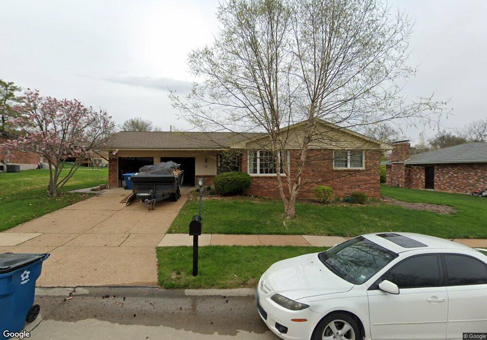
4852 Langtree Dr Saint Louis, MO 63128
Estimated Value: $379,992 - $410,000
3
Beds
2
Baths
1,792
Sq Ft
$221/Sq Ft
Est. Value
About This Home
This home is located at 4852 Langtree Dr, Saint Louis, MO 63128 and is currently estimated at $395,748, approximately $220 per square foot. 4852 Langtree Dr is a home located in St. Louis County with nearby schools including Kennerly Elementary School, Sperreng Middle School, and Lindbergh High School.
Ownership History
Date
Name
Owned For
Owner Type
Purchase Details
Closed on
Aug 21, 2003
Sold by
Garrett Barbara A
Bought by
Dorsey Daniel R and Dorsey Angela D
Current Estimated Value
Home Financials for this Owner
Home Financials are based on the most recent Mortgage that was taken out on this home.
Original Mortgage
$124,000
Outstanding Balance
$54,962
Interest Rate
5.71%
Mortgage Type
Purchase Money Mortgage
Estimated Equity
$340,786
Create a Home Valuation Report for This Property
The Home Valuation Report is an in-depth analysis detailing your home's value as well as a comparison with similar homes in the area
Home Values in the Area
Average Home Value in this Area
Purchase History
| Date | Buyer | Sale Price | Title Company |
|---|---|---|---|
| Dorsey Daniel R | $175,000 | -- |
Source: Public Records
Mortgage History
| Date | Status | Borrower | Loan Amount |
|---|---|---|---|
| Open | Dorsey Daniel R | $124,000 |
Source: Public Records
Tax History
| Year | Tax Paid | Tax Assessment Tax Assessment Total Assessment is a certain percentage of the fair market value that is determined by local assessors to be the total taxable value of land and additions on the property. | Land | Improvement |
|---|---|---|---|---|
| 2025 | $3,993 | $67,640 | $16,800 | $50,840 |
| 2024 | $3,993 | $61,390 | $16,800 | $44,590 |
| 2023 | $3,983 | $61,390 | $16,800 | $44,590 |
| 2022 | $3,393 | $50,130 | $16,800 | $33,330 |
| 2021 | $3,273 | $50,130 | $16,800 | $33,330 |
| 2020 | $3,286 | $48,570 | $16,800 | $31,770 |
| 2019 | $3,278 | $48,570 | $16,800 | $31,770 |
| 2018 | $3,101 | $41,780 | $10,260 | $31,520 |
| 2017 | $3,068 | $41,780 | $10,260 | $31,520 |
| 2016 | $2,998 | $38,760 | $9,330 | $29,430 |
Source: Public Records
Map
Nearby Homes
- 5150 Olde Silver Place
- 5032 Kempf Dr
- 12586 Chardin Place Unit 4
- 12574 Chardin Place Unit 4
- 12587 Chardin Place Unit 4
- 10017 Chardin Way Unit 3
- 5021 Peyton Place Ct
- 4905 Milsmar Dr
- 10010 Schuessler Rd
- 5100 Caribee Dr
- 16 Bayswater Rd
- 12638 Jane Denny Ln
- 4513 Du Bourg Ln
- 4901 Saint Gemme Ln
- 4851 Arevalo Dr
- 4882 Arevalo Dr
- 5325 Tesson Gardens Ct
- 5334 Tesson Ct
- 5333 Tesson Ct
- 9931 Juengel Dr
- 4858 Langtree Dr
- 4844 Langtree Dr
- 4810 Broad Oak Dr
- 4816 Broad Oak Dr
- 4802 Broad Oak Dr
- 4866 Langtree Dr
- 4853 Langtree Dr
- 4859 Langtree Dr
- 4847 Langtree Dr
- 4822 Broad Oak Dr
- 4833 Langtree Dr
- 4865 Langtree Dr
- 4874 Langtree Dr
- 4841 Langtree Dr
- 4827 Langtree Dr
- 4828 Broad Oak Dr
- 4811 Broad Oak Dr
- 4871 Langtree Dr
- 4817 Broad Oak Dr
- 4821 Langtree Dr
Your Personal Tour Guide
Ask me questions while you tour the home.