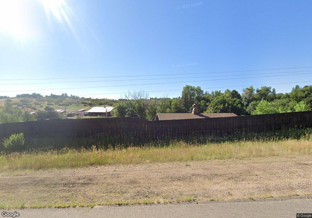
4852 N State Highway 67 Sedalia, CO 80135
Estimated Value: $1,856,877 - $2,895,000
4
Beds
5
Baths
5,286
Sq Ft
$428/Sq Ft
Est. Value
About This Home
This home is located at 4852 N State Highway 67, Sedalia, CO 80135 and is currently estimated at $2,261,626, approximately $427 per square foot. 4852 N State Highway 67 is a home located in Douglas County with nearby schools including Sedalia Elementary School, Castle Rock Middle School, and Castle View High School.
Ownership History
Date
Name
Owned For
Owner Type
Purchase Details
Closed on
Jun 25, 2019
Sold by
Schmeits Kevin M and Schmeits Rebecca R
Bought by
Schmeits Family Legacy Trust
Current Estimated Value
Purchase Details
Closed on
Oct 6, 2014
Sold by
Woodcock Gary and Woodcock Victoria
Bought by
Schmeits Kevin M and Schmeits Rebecca R
Purchase Details
Closed on
Nov 23, 1993
Sold by
Thomas Sally
Bought by
Montana Gary
Purchase Details
Closed on
Jun 18, 1993
Sold by
Montana Gary and Montana Victoria
Bought by
Woodcock Gary M and Woodcock Victoria C
Purchase Details
Closed on
Jul 29, 1992
Sold by
Thomas Sally
Bought by
Montana Gary and Montana Victoria
Purchase Details
Closed on
Jul 1, 1975
Sold by
Myers Everett R and Myers Virginia L
Bought by
Thomas Sally
Create a Home Valuation Report for This Property
The Home Valuation Report is an in-depth analysis detailing your home's value as well as a comparison with similar homes in the area
Home Values in the Area
Average Home Value in this Area
Purchase History
| Date | Buyer | Sale Price | Title Company |
|---|---|---|---|
| Schmeits Family Legacy Trust | -- | Equity Title Of Colorado | |
| Schmeits Kevin M | $1,028,000 | Land Title Guarantee Company | |
| Montana Gary | -- | -- | |
| Woodcock Gary M | -- | -- | |
| Montana Gary | $274,000 | -- | |
| Thomas Sally | $50,000 | -- |
Source: Public Records
Tax History Compared to Growth
Tax History
| Year | Tax Paid | Tax Assessment Tax Assessment Total Assessment is a certain percentage of the fair market value that is determined by local assessors to be the total taxable value of land and additions on the property. | Land | Improvement |
|---|---|---|---|---|
| 2024 | $8,839 | $111,340 | $39,070 | $72,270 |
| 2023 | $8,943 | $111,340 | $39,070 | $72,270 |
| 2022 | $6,446 | $81,370 | $32,900 | $48,470 |
| 2021 | $6,713 | $81,370 | $32,900 | $48,470 |
| 2020 | $6,069 | $75,260 | $25,260 | $50,000 |
| 2019 | $6,095 | $75,260 | $25,260 | $50,000 |
| 2018 | $6,181 | $75,930 | $29,090 | $46,840 |
| 2017 | $5,710 | $75,930 | $29,090 | $46,840 |
| 2016 | $5,771 | $66,060 | $27,700 | $38,360 |
| 2015 | $2,600 | $66,060 | $27,700 | $38,360 |
| 2014 | $4,432 | $52,370 | $23,080 | $29,290 |
Source: Public Records
Map
Nearby Homes
- 3120 Bears Den Dr
- 3013 Bears Den Dr
- 2367 Keep Dr
- 3330 Tweet Place
- 3248 Tweet Place Unit Parcel 9
- 6751 Cherokee Dr
- 5740 Lambert Ranch Trail
- 4279 Sanctuary Way
- 3878 Turret Ln Unit 37
- 2810 Bartizan Ln Unit 19
- 2814 Charlford Ln
- 2301 Keep Dr Unit 46
- 2327 Keep Dr
- 2360 Charlford Ln Unit 60
- 6555 Meadowbrook Ln
- 7037 W Meadowbrook Ln
- 3223 Country Club Pkwy
- 3224 Country Club Pkwy
- 1170 Lost Elk Cir
- 4665 Bobolink Dr
- 4820 N State Highway 67
- 4910 N State Highway 67
- 4804 N State Highway 67
- 4804 N State Highway 67
- 4970 Woodley Ave
- 4950 Woodley Ave
- 4946 N Highway 67
- 4946 N State Highway 67
- 4930 Woodley Ave
- 5008 N State Highway 67
- 4970 N State Highway 67
- 5012 N State Highway 67
- 5010 N State Highway 67
- 4970 N Highway 67
- 5003 N State Highway 67
- 5006 N State Highway 67
- 4702 N State Highway 67
- 5005 Woodley Ave
- 5005 Woodley Ave
- 5005 Woodley Ave