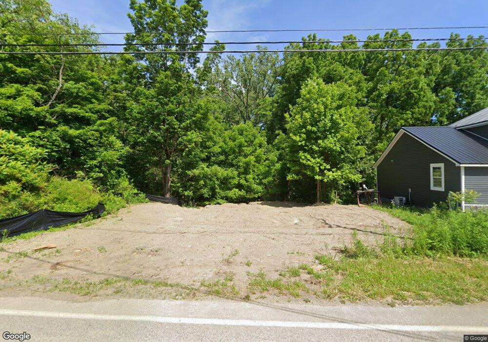
4854 N Main St Unit W Mc Kean, PA 16426
Estimated Value: $36,577 - $201,000
--
Bed
--
Bath
--
Sq Ft
5,009
Sq Ft Lot
About This Home
This home is located at 4854 N Main St Unit W, Mc Kean, PA 16426 and is currently estimated at $126,644. 4854 N Main St Unit W is a home located in Erie County with nearby schools including McKean Elementary School, James W. Parker Middle School, and General McLane High School.
Ownership History
Date
Name
Owned For
Owner Type
Purchase Details
Closed on
Mar 23, 2006
Sold by
Bizzaro Charles J and Bizzaro Amy
Bought by
Lipchik April K
Current Estimated Value
Home Financials for this Owner
Home Financials are based on the most recent Mortgage that was taken out on this home.
Original Mortgage
$66,400
Outstanding Balance
$37,770
Interest Rate
6.28%
Mortgage Type
Fannie Mae Freddie Mac
Estimated Equity
$88,874
Purchase Details
Closed on
Nov 8, 1999
Sold by
Osterberg Donald E and Ostergerg Patricia Ann
Bought by
Bizzarro Charles J
Home Financials for this Owner
Home Financials are based on the most recent Mortgage that was taken out on this home.
Original Mortgage
$44,400
Interest Rate
6.87%
Purchase Details
Closed on
Apr 23, 1999
Sold by
Carlson Helen Louise
Bought by
Osterberg Donald E and Osterberg Patricia Ann
Create a Home Valuation Report for This Property
The Home Valuation Report is an in-depth analysis detailing your home's value as well as a comparison with similar homes in the area
Home Values in the Area
Average Home Value in this Area
Purchase History
| Date | Buyer | Sale Price | Title Company |
|---|---|---|---|
| Lipchik April K | $83,000 | None Available | |
| Bizzarro Charles J | $55,500 | -- | |
| Osterberg Donald E | $20,000 | -- |
Source: Public Records
Mortgage History
| Date | Status | Borrower | Loan Amount |
|---|---|---|---|
| Open | Lipchik April K | $66,400 | |
| Previous Owner | Bizzarro Charles J | $44,400 |
Source: Public Records
Tax History Compared to Growth
Tax History
| Year | Tax Paid | Tax Assessment Tax Assessment Total Assessment is a certain percentage of the fair market value that is determined by local assessors to be the total taxable value of land and additions on the property. | Land | Improvement |
|---|---|---|---|---|
| 2025 | $6 | $250 | $250 | $0 |
| 2024 | $6 | $250 | $250 | $0 |
| 2023 | $5 | $250 | $250 | $0 |
| 2022 | $5 | $250 | $250 | $0 |
| 2021 | $5 | $250 | $250 | $0 |
| 2020 | $5 | $250 | $250 | $0 |
| 2019 | $5 | $250 | $250 | $0 |
| 2018 | $5 | $250 | $250 | $0 |
| 2017 | $467 | $24,500 | $24,500 | $0 |
| 2016 | $577 | $24,500 | $24,500 | $0 |
| 2015 | $571 | $24,500 | $24,500 | $0 |
| 2014 | $265 | $24,500 | $24,500 | $0 |
Source: Public Records
Map
Nearby Homes
- 0 Edinboro Rd Unit 183772
- 0 Edinboro Rd Unit 182375
- 0 Edinboro Rd Unit 173270
- 11897 Silverthorn (Tr 86 Rt T438) Rd
- 5115 West Rd
- 4817 Greenlee Rd
- 4241 Dunn Valley Rd
- 702 Skyline Dr
- 127 Timberlake Dr
- 29 Sharon Dr
- 9735 Old Route 99
- 7761 Grubb Rd
- 8580 Rick Rd
- 5233 California Rd
- 0 Flower Rd
- 8720 Oriole Dr
- 10050 Old Route 99
- 0 S Hill Rd
- 8675 Oriole Dr
- 2880 Cardinal Dr Unit 34