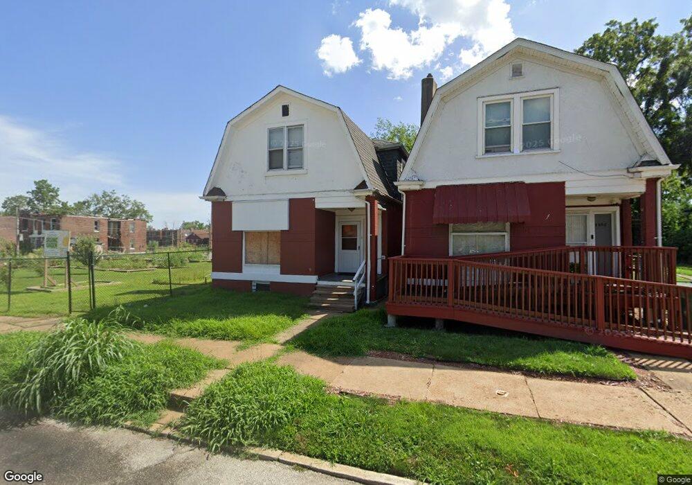
4854 Saint Louis Ave Saint Louis, MO 63115
Kingsway NeighborhoodEstimated Value: $35,000 - $59,000
--
Bed
1
Bath
1,366
Sq Ft
$35/Sq Ft
Est. Value
About This Home
This home is located at 4854 Saint Louis Ave, Saint Louis, MO 63115 and is currently estimated at $48,147, approximately $35 per square foot. 4854 Saint Louis Ave is a home located in St. Louis City with nearby schools including Lexington Elementary School, Sumner High School, and North Side Community Elementary School.
Ownership History
Date
Name
Owned For
Owner Type
Purchase Details
Closed on
Apr 18, 2005
Sold by
Calvert Lewis
Bought by
Ford Anthony
Current Estimated Value
Home Financials for this Owner
Home Financials are based on the most recent Mortgage that was taken out on this home.
Original Mortgage
$29,700
Interest Rate
5.79%
Mortgage Type
Fannie Mae Freddie Mac
Create a Home Valuation Report for This Property
The Home Valuation Report is an in-depth analysis detailing your home's value as well as a comparison with similar homes in the area
Home Values in the Area
Average Home Value in this Area
Purchase History
| Date | Buyer | Sale Price | Title Company |
|---|---|---|---|
| Ford Anthony | -- | -- |
Source: Public Records
Mortgage History
| Date | Status | Borrower | Loan Amount |
|---|---|---|---|
| Previous Owner | Ford Anthony | $29,700 |
Source: Public Records
Tax History Compared to Growth
Tax History
| Year | Tax Paid | Tax Assessment Tax Assessment Total Assessment is a certain percentage of the fair market value that is determined by local assessors to be the total taxable value of land and additions on the property. | Land | Improvement |
|---|---|---|---|---|
| 2025 | $180 | $1,880 | $210 | $1,670 |
| 2024 | $172 | $1,810 | $210 | $1,600 |
| 2023 | $172 | $1,810 | $210 | $1,600 |
| 2022 | $175 | $1,780 | $210 | $1,570 |
| 2021 | $175 | $1,780 | $210 | $1,570 |
| 2020 | $171 | $1,750 | $210 | $1,540 |
| 2019 | $171 | $1,750 | $210 | $1,540 |
| 2018 | $169 | $1,670 | $210 | $1,460 |
| 2017 | $166 | $1,670 | $210 | $1,460 |
| 2016 | $243 | $2,570 | $440 | $2,130 |
| 2015 | $223 | $2,570 | $440 | $2,130 |
| 2014 | $310 | $2,570 | $440 | $2,130 |
| 2013 | -- | $3,730 | $440 | $3,290 |
Source: Public Records
Map
Nearby Homes
- 2834 N Euclid Ave
- 2832 N Euclid Ave
- 4810 Saint Louis Ave
- 4845-4847 Northland Ave
- 4755 Saint Louis Ave
- 4860 Northland Ave
- 4753 Maffitt Ave
- 4950 Labadie Ave
- 4830 Ashland Ave
- 4822 Ashland Ave
- 4721 Northland Ave
- 4741 Greer Ave
- 5049 Saint Louis Ave
- 4627 Maffitt Ave
- 5151 Terry Ave
- 4855 Leduc St
- 4669 Elmbank Ave
- 5119 Terry Ave
- 5109 Northland Ave
- 5126 Terry Ave
- 4856 Saint Louis Ave
- 4852 Saint Louis Ave
- 4860 Saint Louis Ave
- 4841 Saint Louis Ave
- 2828 N Euclid Ave
- 4839 Saint Louis Ave
- 4830 Saint Louis Ave
- 4837 Saint Louis Ave
- 2824 N Euclid Ave
- 4853 Maffitt Ave
- 4855 Maffitt Ave
- 4851 Maffitt Ave
- 4847 Maffitt Ave
- 2858 N Euclid Ave
- 4843 Maffitt Ave
- 4841 Maffitt Ave
- 4829 Saint Louis Ave
- 4824 Saint Louis Ave
- 2862 N Euclid Ave
- 4837 Maffitt Ave