Estimated Value: $361,114 - $385,000
3
Beds
1
Bath
1,050
Sq Ft
$352/Sq Ft
Est. Value
About This Home
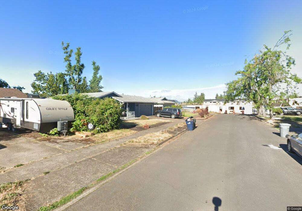
This home is located at 4855 C St, Springfield, OR 97478 and is currently estimated at $369,779, approximately $352 per square foot. 4855 C St is a home located in Lane County with nearby schools including Riverbend Elementary School, Agnes Stewart Middle School, and Thurston High School.
Ownership History
Date
Name
Owned For
Owner Type
Purchase Details
Closed on
Oct 27, 2006
Sold by
Clark Deborah A
Bought by
Blomquist Amber A and Lima Mario G
Current Estimated Value
Home Financials for this Owner
Home Financials are based on the most recent Mortgage that was taken out on this home.
Original Mortgage
$170,000
Outstanding Balance
$110,571
Interest Rate
8.25%
Mortgage Type
Purchase Money Mortgage
Estimated Equity
$259,208
Purchase Details
Closed on
Jan 21, 2003
Sold by
Clark Lynda K
Bought by
Clark Deborah A
Home Financials for this Owner
Home Financials are based on the most recent Mortgage that was taken out on this home.
Original Mortgage
$105,750
Interest Rate
5.96%
Create a Home Valuation Report for This Property
The Home Valuation Report is an in-depth analysis detailing your home's value as well as a comparison with similar homes in the area
Home Values in the Area
Average Home Value in this Area
Purchase History
| Date | Buyer | Sale Price | Title Company |
|---|---|---|---|
| Blomquist Amber A | $170,000 | First American Title Ins Co | |
| Clark Deborah A | $117,500 | Western Title & Escrow Compa |
Source: Public Records
Mortgage History
| Date | Status | Borrower | Loan Amount |
|---|---|---|---|
| Open | Blomquist Amber A | $170,000 | |
| Previous Owner | Clark Deborah A | $105,750 |
Source: Public Records
Tax History
| Year | Tax Paid | Tax Assessment Tax Assessment Total Assessment is a certain percentage of the fair market value that is determined by local assessors to be the total taxable value of land and additions on the property. | Land | Improvement |
|---|---|---|---|---|
| 2025 | $3,260 | $177,781 | -- | -- |
| 2024 | $3,207 | $172,603 | -- | -- |
| 2023 | $3,207 | $167,576 | $0 | $0 |
| 2022 | $2,970 | $162,696 | $0 | $0 |
| 2021 | $2,917 | $157,958 | $0 | $0 |
| 2020 | $2,832 | $153,358 | $0 | $0 |
| 2019 | $2,747 | $148,892 | $0 | $0 |
| 2018 | $2,589 | $140,346 | $0 | $0 |
| 2017 | $2,490 | $140,346 | $0 | $0 |
| 2016 | $2,438 | $136,258 | $0 | $0 |
| 2015 | $2,368 | $132,289 | $0 | $0 |
| 2014 | $2,332 | $128,436 | $0 | $0 |
Source: Public Records
Map
Nearby Homes
- 0 N St
- 422 S 49th Place
- 340 54th St
- 503 S 51st Place
- 4733 Union Terrace
- 4973 Forsythia St
- 569 S 51st Place
- 5495 A Units 69 70 71 72 St
- 4680 Glacier Meadows Loop
- 775 54th St
- 733 54th St
- 4908 Holly St
- 5210 Holly St
- 5259 Holly St
- 5024 Cedar View Dr
- 557 S 44th St
- 4475 Daisy St Unit 87
- 4475 Daisy St
- 4942 Holly St
- 205 S 54th (#11) St Unit 11
Your Personal Tour Guide
Ask me questions while you tour the home.