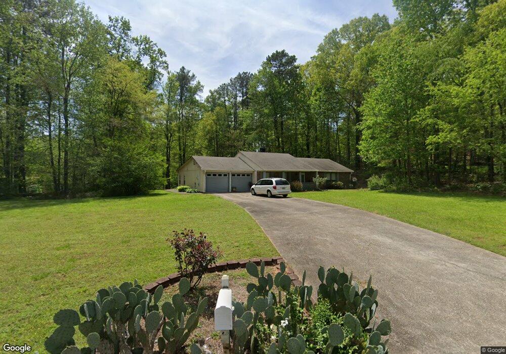
4855 Wolverton Dr Unit 1 Lithonia, GA 30038
Estimated Value: $231,000 - $269,000
3
Beds
2
Baths
1,664
Sq Ft
$147/Sq Ft
Est. Value
About This Home
This home is located at 4855 Wolverton Dr Unit 1, Lithonia, GA 30038 and is currently estimated at $244,233, approximately $146 per square foot. 4855 Wolverton Dr Unit 1 is a home located in DeKalb County with nearby schools including Browns Mill Elementary School, Salem Middle School, and Martin Luther King- Jr. High School.
Ownership History
Date
Name
Owned For
Owner Type
Purchase Details
Closed on
Sep 24, 1998
Sold by
Gill Howard
Bought by
Harris Harriet
Current Estimated Value
Home Financials for this Owner
Home Financials are based on the most recent Mortgage that was taken out on this home.
Original Mortgage
$595,050
Outstanding Balance
$125,569
Interest Rate
6.76%
Mortgage Type
New Conventional
Estimated Equity
$118,664
Create a Home Valuation Report for This Property
The Home Valuation Report is an in-depth analysis detailing your home's value as well as a comparison with similar homes in the area
Home Values in the Area
Average Home Value in this Area
Purchase History
| Date | Buyer | Sale Price | Title Company |
|---|---|---|---|
| Harris Harriet | $98,000 | -- |
Source: Public Records
Mortgage History
| Date | Status | Borrower | Loan Amount |
|---|---|---|---|
| Open | Harris Harriet | $595,050 |
Source: Public Records
Tax History Compared to Growth
Tax History
| Year | Tax Paid | Tax Assessment Tax Assessment Total Assessment is a certain percentage of the fair market value that is determined by local assessors to be the total taxable value of land and additions on the property. | Land | Improvement |
|---|---|---|---|---|
| 2025 | $983 | $95,960 | $18,400 | $77,560 |
| 2024 | $1,026 | $97,600 | $18,400 | $79,200 |
| 2023 | $1,026 | $96,000 | $18,400 | $77,600 |
| 2022 | $2,443 | $76,920 | $13,800 | $63,120 |
| 2021 | $2,182 | $64,360 | $13,800 | $50,560 |
| 2020 | $1,937 | $54,560 | $13,800 | $40,760 |
| 2019 | $1,778 | $49,200 | $13,800 | $35,400 |
| 2018 | $1,074 | $35,720 | $13,800 | $21,920 |
| 2017 | $1,037 | $26,760 | $2,960 | $23,800 |
| 2016 | $963 | $24,160 | $2,960 | $21,200 |
| 2014 | $512 | $10,160 | $2,720 | $7,440 |
Source: Public Records
Map
Nearby Homes
- 3721 Chiltern Ct
- 3745 Londonderry Ct
- 3589 Burlingham Dr Unit 1
- 4931 Wolverton Dr
- 3748 Wolverton Cir
- 3540 Framingham Dr
- 4734 Eagles Ridge Loop
- 3796 Wolverton Cir
- 3710 Burling Ridge
- 3554 Portsmouth Cir
- 3605 Portsmouth Cir
- 4974 Browns Mill Rd
- 4586 High Gate Ln
- 3881 Wolverton Cir
- 3627 Springtree Dr
- 3925 Hodgdon Corners Dr
- 3631 Raiders Ridge Dr
- 3774 Hollow Oak Ln
- 3724 Eagles Beek Cir Unit 1
- 3468 Deer Trace
- 4871 Wolverton Dr
- E Londonderry Ct
- 3671 Londonderry Ct
- 3681 Londonderry Ct Unit 1
- 4850 Wolverton Dr Unit 1
- 4858 Wolverton Dr
- 3661 Londonderry Ct
- 3691 Londonderry Ct
- 3663 Burlingham Dr
- 3651 Londonderry Ct
- 3707 Londonderry Ct Unit 1
- 3660 Burlingham Dr
- 3640 Londonderry Ct
- 3649 Burlingham Dr
- 4881 Wolverton Dr
- 3641 Londonderry Ct
- 3629 Burlingham Dr
- 4882 Wolverton Dr Unit 1
- 3714 Londonderry Ct
- 3717 Londonderry Ct Unit 1