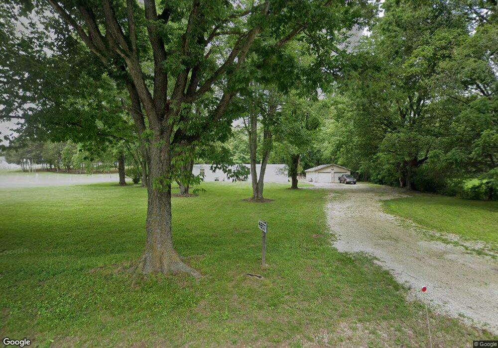
4857 Highway N Robertsville, MO 63072
Estimated Value: $53,736 - $404,000
3
Beds
--
Bath
1,620
Sq Ft
$141/Sq Ft
Est. Value
About This Home
This home is located at 4857 Highway N, Robertsville, MO 63072 and is currently estimated at $229,184, approximately $141 per square foot. 4857 Highway N is a home located in Franklin County with nearby schools including Pacific High School.
Ownership History
Date
Name
Owned For
Owner Type
Purchase Details
Closed on
Oct 15, 2015
Sold by
Fuller Thomas and Fuller Connie
Bought by
Dunn Jason W and Dunn Raymond W
Current Estimated Value
Home Financials for this Owner
Home Financials are based on the most recent Mortgage that was taken out on this home.
Original Mortgage
$36,000
Outstanding Balance
$28,295
Interest Rate
3.93%
Mortgage Type
New Conventional
Estimated Equity
$200,889
Purchase Details
Closed on
Jan 7, 2015
Sold by
Bova Dennis S
Bought by
Fuller Thomas and Fuller Connie
Purchase Details
Closed on
Dec 15, 2014
Sold by
Snyder John L and Snyder Brenda I
Bought by
Bova Dennis S
Purchase Details
Closed on
Jun 19, 2007
Sold by
Mcknight Mark A and Mcknight Theresa L
Bought by
Snyder John L and Snyder Brenda L
Create a Home Valuation Report for This Property
The Home Valuation Report is an in-depth analysis detailing your home's value as well as a comparison with similar homes in the area
Home Values in the Area
Average Home Value in this Area
Purchase History
| Date | Buyer | Sale Price | Title Company |
|---|---|---|---|
| Dunn Jason W | -- | -- | |
| Fuller Thomas | -- | -- | |
| Bova Dennis S | -- | -- | |
| Snyder John L | -- | None Available |
Source: Public Records
Mortgage History
| Date | Status | Borrower | Loan Amount |
|---|---|---|---|
| Open | Dunn Jason W | $36,000 |
Source: Public Records
Tax History Compared to Growth
Tax History
| Year | Tax Paid | Tax Assessment Tax Assessment Total Assessment is a certain percentage of the fair market value that is determined by local assessors to be the total taxable value of land and additions on the property. | Land | Improvement |
|---|---|---|---|---|
| 2025 | $365 | $5,108 | $0 | $0 |
| 2024 | $365 | $4,824 | $0 | $0 |
| 2023 | $345 | $4,824 | $0 | $0 |
| 2022 | $320 | $4,904 | $0 | $0 |
| 2021 | $319 | $4,904 | $0 | $0 |
| 2020 | $310 | $4,777 | $0 | $0 |
| 2019 | $309 | $4,777 | $0 | $0 |
| 2018 | $307 | $4,642 | $0 | $0 |
| 2017 | $304 | $4,642 | $0 | $0 |
| 2016 | $456 | $6,884 | $0 | $0 |
| 2015 | $443 | $6,884 | $0 | $0 |
| 2014 | $465 | $7,346 | $0 | $0 |
Source: Public Records
Map
Nearby Homes
- 0 Woodland Valley Dr Unit MAR25002747
- 563 Calvey Heights Ct
- 0 Watts Ridge Dr
- 5199 Highway N
- 4143 Highway N
- 175 Enchanted Oak Ct
- 0 Stone Ridge Rd Unit MAR25025168
- 1320 & 1330 Lake Shore Dr
- 4114 Evergreen St
- 4123 Evergreen St
- 4134 Evergreen St
- Lots 14&15 Evergreen St
- 5563 E Anding Dr
- 4420 & 4424 S Shore Dr
- 4412 & 4416 S Shore Dr
- 4268 & 4272 S Shore Dr
- 4284 & 4288 S Shore Dr
- 4276 & 4280 S Shore Dr
- 4150 S Shore Dr
- 4186 S Shore Dr
- 1 Hwy N
- 999 Highway N
- 0 Hwy N Unit 80025639
- 0 Hwy N Unit 80027263
- 0 Hwy N Unit 80043035
- 0 Hwy N Unit 80003019
- 190 Hwy N
- 0 Hwy N Unit 80063533
- 0 Hwy N Unit 90039845
- 0 Hwy N Unit 90046961
- 0 Hwy N Unit 90055412
- 0 Hwy N Unit 90063097
- 0 Hwy N Unit 12041772
- 0 Hwy N Unit 12045261
- 1234 12 76 Acres-Taren Ln-Hghwy N
- 0 Hwy N Unit 13048716
- 0 Hwy N Unit 20051353
- 0 Hwy N Unit 20038443
- 682 Robbie Ln
- 647 Robbie Ln