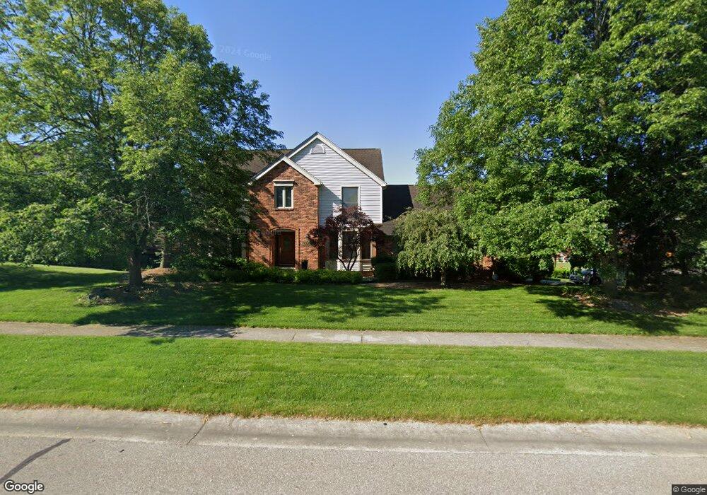
48571 E Normandy Ct Plymouth, MI 48170
Estimated Value: $569,000 - $689,000
--
Bed
4
Baths
2,710
Sq Ft
$233/Sq Ft
Est. Value
About This Home
This home is located at 48571 E Normandy Ct, Plymouth, MI 48170 and is currently estimated at $630,581, approximately $232 per square foot. 48571 E Normandy Ct is a home located in Wayne County with nearby schools including Canton High School, Isbister Elementary School, and Salem High School.
Ownership History
Date
Name
Owned For
Owner Type
Purchase Details
Closed on
Apr 25, 2025
Sold by
Maclellan Patrick T and Maclellan Angela M
Bought by
Maclellan Family Trust and Maclellan
Current Estimated Value
Purchase Details
Closed on
Jun 8, 2007
Sold by
Walker Jamie E
Bought by
Maclellan Patrick T and Maclellan Angela M
Purchase Details
Closed on
Apr 10, 2004
Sold by
Walker Joseph C and Walker Jamie E
Bought by
Walker Jamie E and Jamie E Walker Trust
Purchase Details
Closed on
Sep 20, 1995
Sold by
Joseph C and Walke Jamie E
Bought by
Joseph C and Walker Jamie E
Create a Home Valuation Report for This Property
The Home Valuation Report is an in-depth analysis detailing your home's value as well as a comparison with similar homes in the area
Home Values in the Area
Average Home Value in this Area
Purchase History
| Date | Buyer | Sale Price | Title Company |
|---|---|---|---|
| Maclellan Family Trust | -- | None Listed On Document | |
| Maclellan Patrick T | $337,000 | Title Direct | |
| Walker Jamie E | -- | -- | |
| Joseph C | $265,000 | -- |
Source: Public Records
Tax History Compared to Growth
Tax History
| Year | Tax Paid | Tax Assessment Tax Assessment Total Assessment is a certain percentage of the fair market value that is determined by local assessors to be the total taxable value of land and additions on the property. | Land | Improvement |
|---|---|---|---|---|
| 2025 | $4,668 | $279,700 | $0 | $0 |
| 2024 | $4,668 | $262,400 | $0 | $0 |
| 2023 | $4,447 | $232,000 | $0 | $0 |
| 2022 | $6,742 | $220,600 | $0 | $0 |
| 2021 | $6,566 | $218,400 | $0 | $0 |
| 2019 | $6,394 | $198,680 | $0 | $0 |
| 2018 | $3,806 | $190,560 | $0 | $0 |
| 2017 | $4,313 | $49,500 | $0 | $0 |
| 2016 | $5,920 | $183,100 | $0 | $0 |
| 2015 | $15,935 | $183,110 | $0 | $0 |
| 2013 | $15,438 | $165,400 | $0 | $0 |
| 2012 | -- | $151,240 | $41,800 | $109,440 |
Source: Public Records
Map
Nearby Homes
- 48124 Colony Farm Cir
- 9350 Colony Farms Ct
- 9377 Pineview Dr
- 9079 Woodgrove Dr
- 48100 Powell Rd
- 9421 Mapletree Dr
- 11809 Amherst Ct
- 11431 Sandalwood Dr
- 9875 Ann Arbor Trail
- 50157 E Fellows Creek Ct
- 0 E Ann Arbor Trail Unit 20251048195
- 48814 Gyde Rd
- 47442 Verona Ct
- 47443 Verona Ct
- 0 N Beck Rd
- 47472 Verona Ct
- 8140 N Pointe Ct
- 48441 N Territorial Rd
- 46777 Bettyhill
- 12812 Drury Ln
- 9996 Normandy Dr
- 48535 E Normandy Ct
- 48600 W Normandy Ct Unit Bldg-Unit
- 48600 W Normandy Ct
- 48570 E Normandy Ct
- 48499 E Normandy Ct
- 48540 E Normandy Ct
- 9934 Normandy Dr
- 48601 W Normandy Ct
- 10179 Normandy Dr
- 10182 Normandy Dr
- 48510 E Normandy Ct
- 48630 W Normandy Ct
- 48612 Chambury Ct
- 48463 E Normandy Ct
- 48480 E Normandy Ct
- 9885 Normandy Dr
- 10244 Normandy Dr
- 10217 Normandy Dr
- 48691 W Normandy Ct