Estimated Value: $588,000 - $857,240
5
Beds
3
Baths
4,430
Sq Ft
$163/Sq Ft
Est. Value
About This Home
This home is located at 4858 Bunker Rd, Mason, MI 48854 and is currently estimated at $720,413, approximately $162 per square foot. 4858 Bunker Rd is a home with nearby schools including Mason High School.
Ownership History
Date
Name
Owned For
Owner Type
Purchase Details
Closed on
Jun 15, 2020
Sold by
Fanson Dennis M and Fanson Shelley M
Bought by
Fanson Farm Property Llc
Current Estimated Value
Purchase Details
Closed on
Jan 2, 2019
Sold by
Fanson Harvey F and Fanson Carol
Bought by
Fanson Dennis M and Fanson Shelly M
Purchase Details
Closed on
May 30, 2013
Sold by
Johnson Dean and Johnson Sheryl
Bought by
Fanson Dennis M and Fanson Shelly M
Home Financials for this Owner
Home Financials are based on the most recent Mortgage that was taken out on this home.
Original Mortgage
$100,000
Outstanding Balance
$20,369
Interest Rate
3.38%
Mortgage Type
Future Advance Clause Open End Mortgage
Estimated Equity
$700,044
Create a Home Valuation Report for This Property
The Home Valuation Report is an in-depth analysis detailing your home's value as well as a comparison with similar homes in the area
Home Values in the Area
Average Home Value in this Area
Purchase History
We collect this data history from publicly available records. To have your information removed, we recommend requesting removal directly through your county’s website.
| Date | Buyer | Sale Price | Title Company |
|---|---|---|---|
| Fanson Farm Property Llc | -- | None Available | |
| Fanson Dennis M | -- | None Available | |
| Fanson Dennis M | $169,000 | Transnation Title Co |
Source: Public Records
Mortgage History
We collect this data history from publicly available records. To have your information removed, we recommend requesting removal directly through your county’s website.
| Date | Status | Borrower | Loan Amount |
|---|---|---|---|
| Open | Fanson Dennis M | $100,000 |
Source: Public Records
Tax History
| Year | Tax Paid | Tax Assessment Tax Assessment Total Assessment is a certain percentage of the fair market value that is determined by local assessors to be the total taxable value of land and additions on the property. | Land | Improvement |
|---|---|---|---|---|
| 2025 | $12,526 | $433,700 | $126,600 | $307,100 |
| 2024 | $70 | $418,600 | $131,900 | $286,700 |
| 2023 | $11,891 | $390,500 | $115,400 | $275,100 |
| 2022 | $11,045 | $331,900 | $117,200 | $214,700 |
| 2021 | $10,697 | $309,300 | $113,400 | $195,900 |
| 2020 | $12,208 | $299,700 | $107,500 | $192,200 |
| 2019 | $11,873 | $319,200 | $98,100 | $221,100 |
| 2018 | $9,855 | $297,900 | $98,900 | $199,000 |
| 2017 | $8,636 | $297,900 | $98,900 | $199,000 |
| 2016 | -- | $281,800 | $83,200 | $198,600 |
| 2015 | -- | $251,900 | $162,933 | $88,967 |
| 2014 | -- | $174,700 | $162,933 | $11,767 |
Source: Public Records
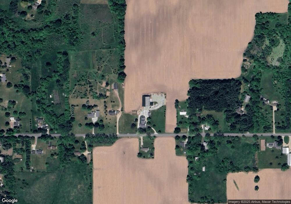
Map
Nearby Homes
- 0 S Aurelius Rd Unit 292647
- 5525 Curtice Rd
- 380 Spicetree Ln Unit 48
- 376 Spicetree Ln Unit 47
- 35 Lilac Ln Unit 1
- 5959 Curtice Rd
- 285 N Aurelius Rd
- 668 S College Rd
- 4789 Nichols Rd
- 300 S College Rd
- 296 S College Rd
- 5 W Barnes Rd
- 0 W Barnes Rd
- 837 N Aurelius Rd
- Vl Gale Rd
- 331 N College Rd
- 0 Eifert Rd
- 2620 S Edgar Rd
- 610 Grovenburg Rd
- 732 N Edgar Rd
- 4855 Bunker Rd
- 4884 Bunker Rd
- 4820 Bunker Rd
- 4821 Bunker Rd
- 4914 Bunker Rd
- 4798 Bunker Rd
- 4915 Bunker Rd
- 4799 Bunker Rd
- 4949 Bunker Rd
- 4752 Bunker Rd
- 4952 Bunker Rd
- 4955 Bunker Rd
- 4972 Bunker Rd
- 4748 Bunker Rd
- 903 S Eifert Rd
- 891 S Eifert Rd
- 4995 Bunker Rd
- 1035 S Eifert Rd
- 855 S Eifert Rd
- 4696 Bunker Rd
Your Personal Tour Guide
Ask me questions while you tour the home.