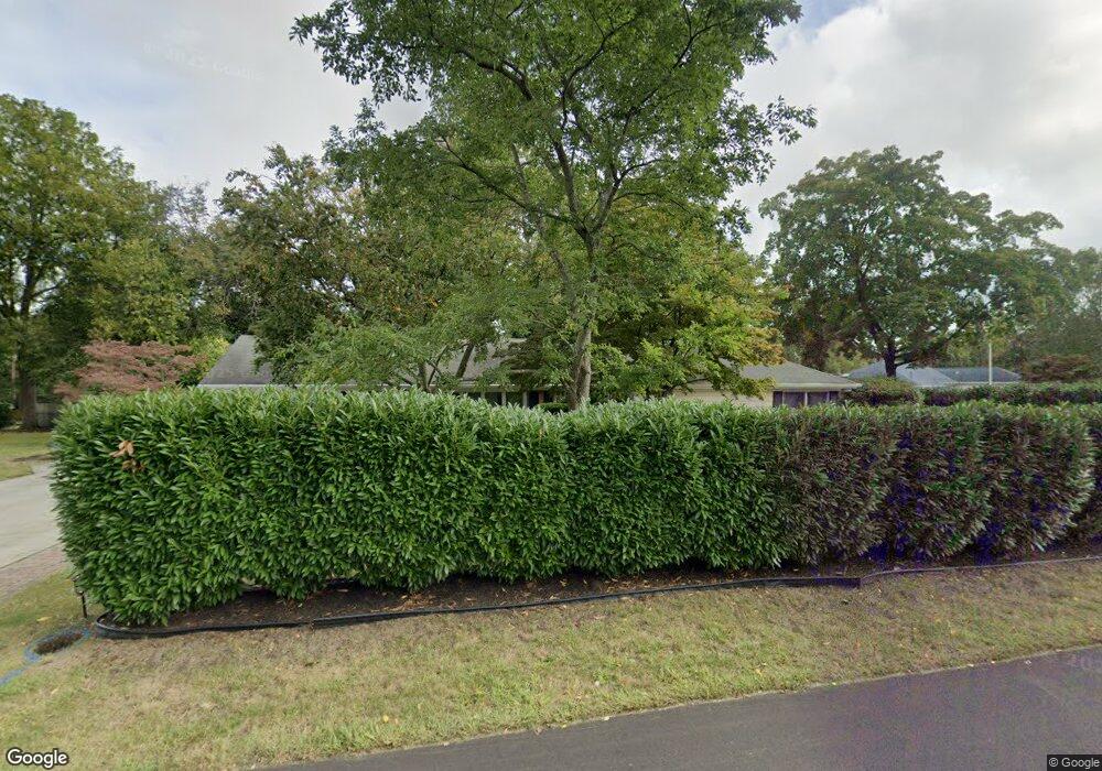
486 Brook Rd Red Bank, NJ 07701
New Monmouth NeighborhoodEstimated Value: $871,069 - $1,019,000
3
Beds
3
Baths
2,452
Sq Ft
$385/Sq Ft
Est. Value
About This Home
This home is located at 486 Brook Rd, Red Bank, NJ 07701 and is currently estimated at $943,017, approximately $384 per square foot. 486 Brook Rd is a home located in Monmouth County with nearby schools including Middletown Village Elementary School, Thompson Middle School, and Middletown High School North.
Ownership History
Date
Name
Owned For
Owner Type
Purchase Details
Closed on
Aug 28, 2012
Sold by
Breault Raymond and Breault Kathleen A
Bought by
Malhotra Rajeev
Current Estimated Value
Home Financials for this Owner
Home Financials are based on the most recent Mortgage that was taken out on this home.
Original Mortgage
$366,000
Outstanding Balance
$253,137
Interest Rate
3.56%
Mortgage Type
New Conventional
Estimated Equity
$689,880
Create a Home Valuation Report for This Property
The Home Valuation Report is an in-depth analysis detailing your home's value as well as a comparison with similar homes in the area
Home Values in the Area
Average Home Value in this Area
Purchase History
| Date | Buyer | Sale Price | Title Company |
|---|---|---|---|
| Malhotra Rajeev | $457,500 | Old Republic National Title |
Source: Public Records
Mortgage History
| Date | Status | Borrower | Loan Amount |
|---|---|---|---|
| Open | Malhotra Rajeev | $366,000 |
Source: Public Records
Tax History Compared to Growth
Tax History
| Year | Tax Paid | Tax Assessment Tax Assessment Total Assessment is a certain percentage of the fair market value that is determined by local assessors to be the total taxable value of land and additions on the property. | Land | Improvement |
|---|---|---|---|---|
| 2025 | $10,622 | $738,300 | $473,600 | $264,700 |
| 2024 | $9,585 | $645,700 | $382,000 | $263,700 |
| 2023 | $9,585 | $551,500 | $352,200 | $199,300 |
| 2022 | $9,676 | $522,600 | $332,900 | $189,700 |
| 2021 | $9,676 | $465,200 | $296,500 | $168,700 |
| 2020 | $9,865 | $461,400 | $296,500 | $164,900 |
| 2019 | $9,986 | $472,800 | $296,500 | $176,300 |
| 2018 | $9,418 | $434,600 | $269,200 | $165,400 |
| 2017 | $9,125 | $429,600 | $269,200 | $160,400 |
| 2016 | $8,856 | $415,600 | $259,200 | $156,400 |
| 2015 | $8,875 | $415,500 | $259,200 | $156,300 |
| 2014 | $7,707 | $352,100 | $209,200 | $142,900 |
Source: Public Records
Map
Nearby Homes
- 0 Hamiltonian Dr Unit 22514980
- 20 Devon Rd
- 93 Twin Brooks Ave
- 35 Woodland Dr
- 164 Heights Terrace
- 11 Mayflower Dr
- 211 April Way Unit 211
- 304 April Way Unit 304
- 8 Allston St
- 7 Meehan Ct
- 6 Waller Dr
- 10 Waller Dr
- 24 Princeton St
- 16 Waller Dr
- Hartshorne Plan at Middletown Walk
- 22 Waller Dr
- 58 Edmund Way
- 22 Edmund Way
- 74 Fish Hawk Dr
- 6 Augustus Dr
- 307 Rutledge Dr
- 487 Brook Rd
- 460 Brook Rd
- 288 Rutledge Dr
- 304 Rutledge Dr
- 475 Brook Rd
- 277 Rutledge Dr
- 317 Rutledge Dr
- 296 Rutledge Dr
- 467 Brook Rd
- 280 Rutledge Dr
- 312 Rutledge Dr
- 132 Apple Farm Rd
- 269 Rutledge Dr
- 459 Brook Rd
- 320 Rutledge Dr
- 328 Rutledge Dr
- 329 Rutledge Dr
- 272 Rutledge Dr
- 451 Brook Rd