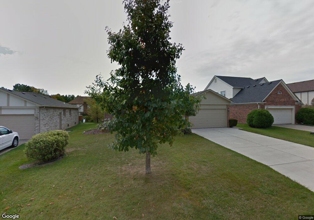
486 Buttercup Dr Rochester Hills, MI 48307
Estimated Value: $478,502 - $515,000
3
Beds
3
Baths
1,658
Sq Ft
$302/Sq Ft
Est. Value
About This Home
This home is located at 486 Buttercup Dr, Rochester Hills, MI 48307 and is currently estimated at $500,626, approximately $301 per square foot. 486 Buttercup Dr is a home located in Oakland County with nearby schools including Brooklands Elementary School, Reuther Middle School, and Rochester High School.
Ownership History
Date
Name
Owned For
Owner Type
Purchase Details
Closed on
Oct 19, 2016
Sold by
Hermans Keith F and Hermans Lindsay
Bought by
Hartsmith Ryan M and Theisen Erin A
Current Estimated Value
Home Financials for this Owner
Home Financials are based on the most recent Mortgage that was taken out on this home.
Original Mortgage
$263,150
Outstanding Balance
$210,830
Interest Rate
3.44%
Mortgage Type
New Conventional
Estimated Equity
$289,796
Purchase Details
Closed on
Nov 5, 2010
Sold by
Clevenger Robert and Clevenger Margaret A
Bought by
Hermans Keith F and Hermans Lindsay
Home Financials for this Owner
Home Financials are based on the most recent Mortgage that was taken out on this home.
Original Mortgage
$170,563
Interest Rate
4.31%
Mortgage Type
FHA
Create a Home Valuation Report for This Property
The Home Valuation Report is an in-depth analysis detailing your home's value as well as a comparison with similar homes in the area
Home Values in the Area
Average Home Value in this Area
Purchase History
| Date | Buyer | Sale Price | Title Company |
|---|---|---|---|
| Hartsmith Ryan M | $277,000 | Partners Title Agency Llc | |
| Hermans Keith F | $175,000 | Multiple |
Source: Public Records
Mortgage History
| Date | Status | Borrower | Loan Amount |
|---|---|---|---|
| Open | Hartsmith Ryan M | $263,150 | |
| Previous Owner | Hermans Keith F | $170,563 |
Source: Public Records
Tax History Compared to Growth
Tax History
| Year | Tax Paid | Tax Assessment Tax Assessment Total Assessment is a certain percentage of the fair market value that is determined by local assessors to be the total taxable value of land and additions on the property. | Land | Improvement |
|---|---|---|---|---|
| 2022 | $2,494 | $169,300 | $0 | $0 |
| 2018 | $4,131 | $130,930 | $0 | $0 |
| 2017 | $4,050 | $126,120 | $0 | $0 |
| 2015 | -- | $113,580 | $0 | $0 |
| 2014 | -- | $106,000 | $0 | $0 |
| 2011 | -- | $98,860 | $0 | $0 |
Source: Public Records
Map
Nearby Homes
- 372 Daylily Dr
- 2605 Helmsdale Cir
- 2817 Hartwick Dr
- 2653 Helmsdale Cir
- 2821 Hartwick Dr
- 525 Oxford Ct
- 830 Dartmouth Dr
- 134 W Auburn Rd
- 740 Eastbridge Ct
- 3118 Hickory Lawn Rd
- 733 Hamilton Ct Unit 120
- 388 E South Blvd
- 980 Briston Dr
- 653 Glasgow Ct Unit 207
- 3615 Hazelton Ave
- 3285 Norton Lawn
- 2770 Hickory Lawn Rd
- 1120 Michelson Rd
- 3845 Hazelton Ave
- 6764 Redford Cir
- 492 Buttercup Dr
- 480 Buttercup Dr
- 498 Buttercup Dr
- 445 Mayapple Ct
- 453 Mayapple Ct
- 437 Mayapple Ct
- 461 Mayapple Ct
- 474 Buttercup Dr
- 429 Mayapple Ct
- 481 Buttercup Dr
- 487 Buttercup Dr
- 504 Buttercup Dr
- 493 Buttercup Dr
- 469 Daylily Dr
- 475 Buttercup Dr
- 468 Buttercup Dr
- 499 Buttercup Dr
- 421 Mayapple Ct
- 477 Daylily Dr
- 510 Buttercup Dr