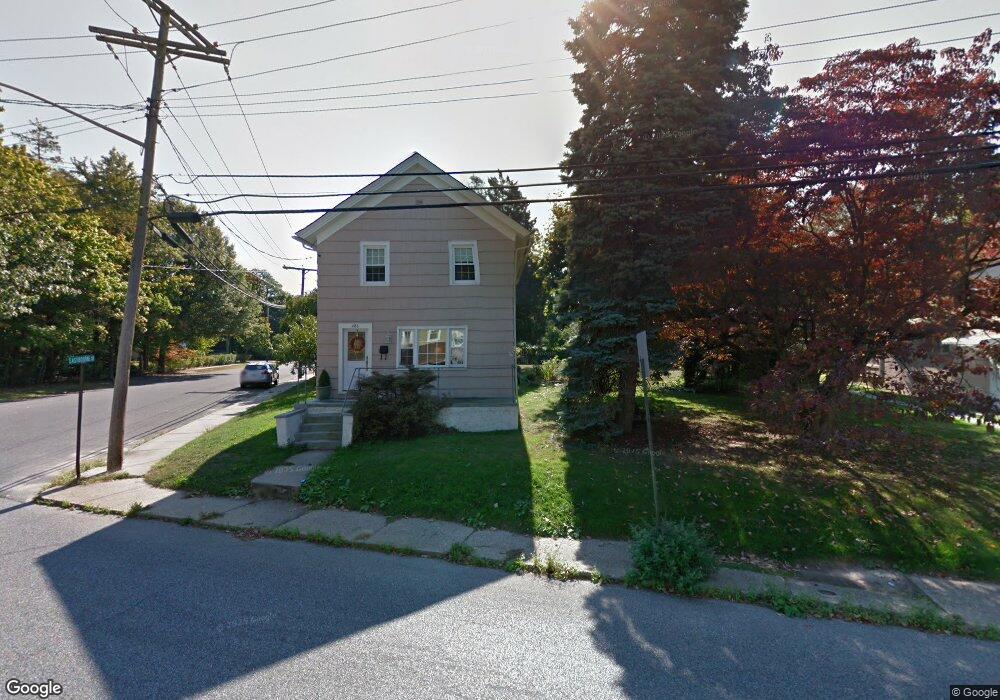
486 High St Long Branch, NJ 07740
Estimated Value: $562,000 - $653,000
2
Beds
1
Bath
1,440
Sq Ft
$431/Sq Ft
Est. Value
About This Home
This home is located at 486 High St, Long Branch, NJ 07740 and is currently estimated at $620,890, approximately $431 per square foot. 486 High St is a home located in Monmouth County with nearby schools including Long Branch High School, Holy Trinity School, and Bet Yaakov of the Jersey Shore.
Ownership History
Date
Name
Owned For
Owner Type
Purchase Details
Closed on
Jan 10, 2022
Sold by
Littlehale Shannon and Hennessey Shannon
Bought by
Littlehale Matthew H and Littlehale Shannon E
Current Estimated Value
Home Financials for this Owner
Home Financials are based on the most recent Mortgage that was taken out on this home.
Original Mortgage
$554,458
Outstanding Balance
$511,002
Interest Rate
3.11%
Mortgage Type
New Conventional
Estimated Equity
$109,888
Purchase Details
Closed on
Dec 15, 2009
Sold by
Masitti Frank
Bought by
Hennessey Shannon and Hennessey Daniel
Home Financials for this Owner
Home Financials are based on the most recent Mortgage that was taken out on this home.
Original Mortgage
$222,832
Interest Rate
5.25%
Mortgage Type
FHA
Purchase Details
Closed on
Nov 18, 2008
Sold by
Novastar Mortgage Inc
Bought by
Masitti Frank
Purchase Details
Closed on
Sep 13, 1995
Sold by
Desheplo John
Bought by
Gaudious Michael and Gaudious Carol
Home Financials for this Owner
Home Financials are based on the most recent Mortgage that was taken out on this home.
Original Mortgage
$60,000
Interest Rate
7.81%
Create a Home Valuation Report for This Property
The Home Valuation Report is an in-depth analysis detailing your home's value as well as a comparison with similar homes in the area
Home Values in the Area
Average Home Value in this Area
Purchase History
| Date | Buyer | Sale Price | Title Company |
|---|---|---|---|
| Littlehale Matthew H | -- | None Listed On Document | |
| Hennessey Shannon | $234,000 | Old Republic National Title | |
| Masitti Frank | $100,000 | Multiple | |
| Gaudious Michael | $90,000 | -- |
Source: Public Records
Mortgage History
| Date | Status | Borrower | Loan Amount |
|---|---|---|---|
| Open | Littlehale Matthew H | $554,458 | |
| Previous Owner | Hennessey Shannon | $222,832 | |
| Previous Owner | Gaudious Michael | $60,000 |
Source: Public Records
Tax History Compared to Growth
Tax History
| Year | Tax Paid | Tax Assessment Tax Assessment Total Assessment is a certain percentage of the fair market value that is determined by local assessors to be the total taxable value of land and additions on the property. | Land | Improvement |
|---|---|---|---|---|
| 2025 | $9,105 | $666,000 | $238,600 | $427,400 |
| 2024 | $5,352 | $592,400 | $183,600 | $408,800 |
| 2023 | $5,352 | $344,600 | $173,600 | $171,000 |
| 2022 | $5,216 | $279,600 | $128,900 | $150,700 |
| 2021 | $5,216 | $261,800 | $120,900 | $140,900 |
| 2020 | $5,204 | $249,000 | $108,900 | $140,100 |
| 2019 | $5,457 | $259,600 | $106,900 | $152,700 |
| 2018 | $5,327 | $252,000 | $104,900 | $147,100 |
| 2017 | $5,074 | $246,200 | $101,900 | $144,300 |
| 2016 | $4,941 | $244,500 | $103,900 | $140,600 |
| 2015 | $5,104 | $229,200 | $104,400 | $124,800 |
| 2014 | $4,788 | $226,600 | $115,900 | $110,700 |
Source: Public Records
Map
Nearby Homes
- 364 Westwood Ave Unit 39
- 364 Westwood Ave Unit 71
- 364 Westwood Ave Unit 21
- 377 Westwood Ave
- 434 Westwood Ave
- 298 Poole Ave
- 303 Westwood Ave
- 440 W End Ave
- 215 Cleveland Ave
- 88 Norwood Ave
- 399 Willow Ave
- 264 Norwood Ave
- 23 Woolley Ave
- 369 Indiana Ave
- 552 Westwood Ave
- 279 W West End Ave
- 28 Norwood Ave
- 317 Norwood Ave
- 2 Hilltop Rd
- 237 3rd Ave Unit 1-4