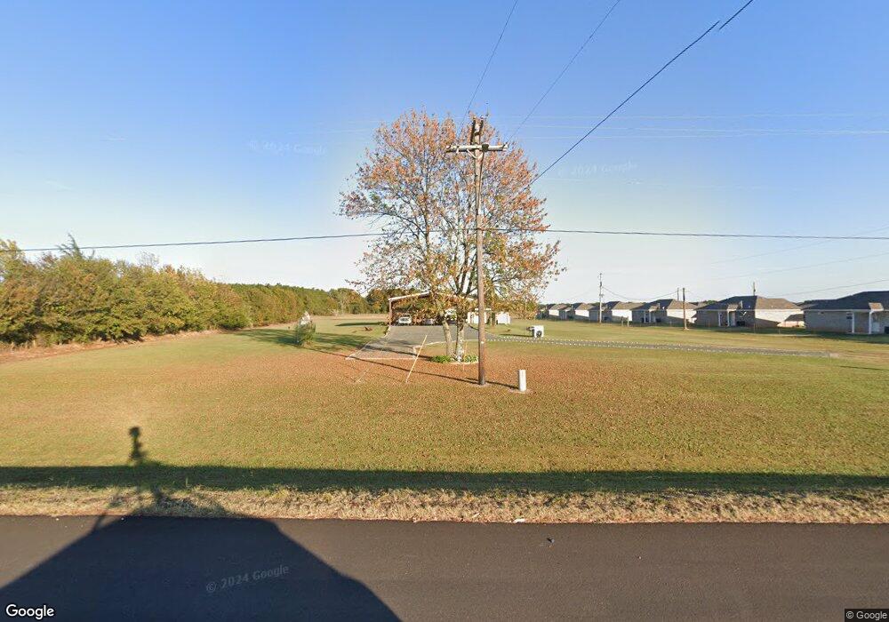
486 Highway 71 N Ashdown, AR 71822
Estimated Value: $71,042 - $159,000
Studio
--
Bath
320
Sq Ft
$355/Sq Ft
Est. Value
About This Home
This home is located at 486 Highway 71 N, Ashdown, AR 71822 and is currently estimated at $113,511, approximately $354 per square foot. 486 Highway 71 N is a home with nearby schools including L.F. Henderson Interm. School, Ashdown Elementary School, and Ashdown Junior High School.
Ownership History
Date
Name
Owned For
Owner Type
Purchase Details
Closed on
Nov 3, 2016
Bought by
Benefield Billy and Benefield Audry
Current Estimated Value
Purchase Details
Closed on
Dec 3, 2007
Bought by
Wilemon Rebecca A
Purchase Details
Closed on
Nov 8, 2001
Bought by
Williamson Gilbert and Williamson Carla
Purchase Details
Closed on
Jul 17, 2000
Bought by
Jones Arthur Vurda and Jones Sandra
Purchase Details
Closed on
Sep 14, 1999
Bought by
Hagan Crandall and Hagan Maylene
Purchase Details
Closed on
Aug 12, 1999
Bought by
Hagan Crandall and Hagan Maylene
Purchase Details
Closed on
Oct 30, 1997
Bought by
Hagan Crandall and Hagan Maylene
Create a Home Valuation Report for This Property
The Home Valuation Report is an in-depth analysis detailing your home's value as well as a comparison with similar homes in the area
Home Values in the Area
Average Home Value in this Area
Purchase History
| Date | Buyer | Sale Price | Title Company |
|---|---|---|---|
| Benefield Billy | $19,000 | -- | |
| Wilemon Rebecca A | $18,000 | -- | |
| Williamson Gilbert | $11,000 | -- | |
| Jones Arthur Vurda | $10,000 | -- | |
| Hagan Crandall | -- | -- | |
| Hagan Crandall | -- | -- | |
| Hagan Crandall | $6,000 | -- |
Source: Public Records
Tax History
| Year | Tax Paid | Tax Assessment Tax Assessment Total Assessment is a certain percentage of the fair market value that is determined by local assessors to be the total taxable value of land and additions on the property. | Land | Improvement |
|---|---|---|---|---|
| 2025 | -- | $4,840 | $1,110 | $3,730 |
| 2024 | $166 | $4,840 | $1,110 | $3,730 |
| 2023 | $0 | $4,840 | $1,110 | $3,730 |
| 2022 | $166 | $4,770 | $1,110 | $3,660 |
| 2021 | $166 | $5,650 | $1,060 | $4,590 |
| 2020 | $166 | $3,960 | $1,060 | $2,900 |
| 2019 | $166 | $3,960 | $1,060 | $2,900 |
| 2018 | $166 | $3,960 | $1,060 | $2,900 |
| 2017 | $161 | $3,840 | $3,620 | $220 |
| 2016 | $116 | $2,776 | $2,476 | $300 |
| 2015 | $109 | $2,611 | $2,311 | $300 |
| 2014 | $99 | $2,446 | $2,146 | $300 |
Source: Public Records
Map
Nearby Homes
Your Personal Tour Guide
Ask me questions while you tour the home.