486 Johns Rd Adrian, PA 16210
Estimated Value: $76,450 - $132,000
2
Beds
1
Bath
1,180
Sq Ft
$88/Sq Ft
Est. Value
About This Home
This home is located at 486 Johns Rd, Adrian, PA 16210 and is currently estimated at $104,225, approximately $88 per square foot. 486 Johns Rd is a home located in Armstrong County with nearby schools including West Hills Intermediate School and West Hills Primary School.
Ownership History
Date
Name
Owned For
Owner Type
Purchase Details
Closed on
Dec 21, 2011
Sold by
Chaffins Vernon Jeffrey
Bought by
Mcfadden Kevin R and Mcfadden Tracey A
Current Estimated Value
Purchase Details
Closed on
Apr 22, 2008
Sold by
The Bank Of New York
Bought by
Chaffins Vernon Jeffrey
Purchase Details
Closed on
Sep 20, 1990
Create a Home Valuation Report for This Property
The Home Valuation Report is an in-depth analysis detailing your home's value as well as a comparison with similar homes in the area
Home Values in the Area
Average Home Value in this Area
Purchase History
| Date | Buyer | Sale Price | Title Company |
|---|---|---|---|
| Mcfadden Kevin R | -- | None Available | |
| Chaffins Vernon Jeffrey | $35,900 | None Available | |
| -- | $25,000 | -- |
Source: Public Records
Tax History
| Year | Tax Paid | Tax Assessment Tax Assessment Total Assessment is a certain percentage of the fair market value that is determined by local assessors to be the total taxable value of land and additions on the property. | Land | Improvement |
|---|---|---|---|---|
| 2025 | $172 | $2,000 | $1,400 | $600 |
| 2024 | $162 | $2,000 | $1,400 | $600 |
| 2023 | $162 | $2,000 | $1,400 | $600 |
| 2022 | $162 | $2,000 | $1,400 | $600 |
| 2021 | $162 | $2,000 | $1,400 | $600 |
| 2020 | $162 | $2,000 | $1,400 | $600 |
| 2019 | $1,458 | $2,000 | $1,400 | $600 |
| 2018 | $162 | $2,000 | $1,150 | $850 |
| 2017 | $160 | $2,000 | $1,400 | $600 |
| 2016 | $160 | $2,000 | $1,400 | $600 |
| 2015 | -- | $2,000 | $1,400 | $600 |
| 2014 | -- | $2,000 | $1,400 | $600 |
Source: Public Records
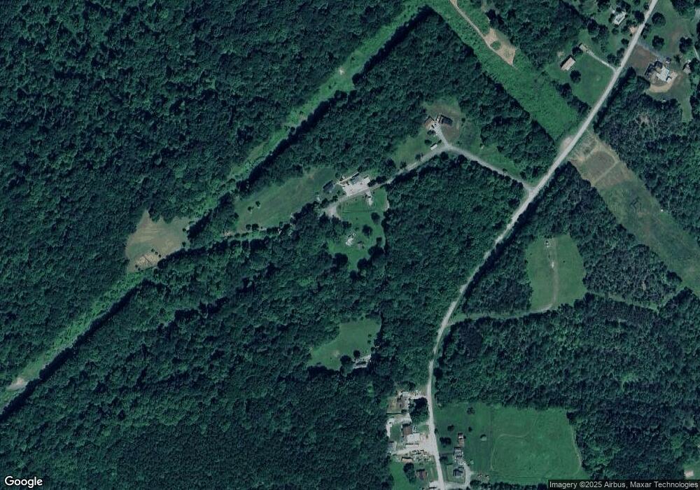
Map
Nearby Homes
- 231 Stone Ave
- 583 Adrian Reesedale Rd
- 612 State Route 1031
- 0 Silver Rock Rd
- 714 Stewartson Rd
- 712 Stewartson Rd
- Spot Rd
- 455 Adrian Sherrett Rd
- 1405 Madison Rd
- 1028 State Route 268
- 865 E Brady Rd
- 269 Boltz Rd
- 1594 Johnston Ave
- 487 E Brady Rd
- 1411 Orr Ave Unit 1413
- 1408 Orr Ave
- 223 Cedar Dr
- 1402 N Grant Ave
- 302 Neubert St
- 336 Walkchalk Rd
- 491 Johns Rd
- 259 Old Reesedale Rd
- 509 Johns Rd
- 255 Old Reesedale Rd
- 247 Old Reesedale Rd
- 248 Old Reesedale Rd
- 105 Spring Run Rd
- 241 Old Reesedale Rd
- 321 Old Reesedale Rd
- 237 Old Reesedale Rd
- 232 Old Reesedale Rd
- 125 Jacks Dr
- 124 Jacks Dr
- 225 Old Reesedale Rd
- 324 Old Reesedale Rd
- 103 Jacks Dr
- 121 Jacks Dr
- 219 Old Reesedale Rd
- 208 Bella Lieu Rd
- 214 Bella Lieu Rd
Your Personal Tour Guide
Ask me questions while you tour the home.