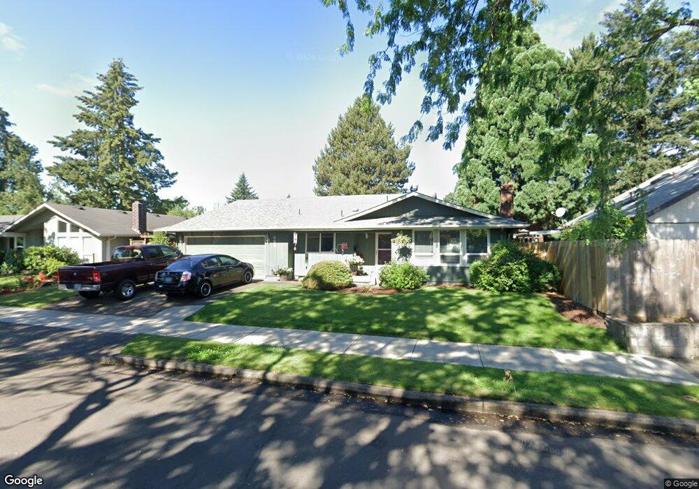
486 Kodiak St Eugene, OR 97401
Harlow NeighborhoodEstimated Value: $426,000 - $472,000
4
Beds
2
Baths
1,508
Sq Ft
$298/Sq Ft
Est. Value
About This Home
This home is located at 486 Kodiak St, Eugene, OR 97401 and is currently estimated at $449,647, approximately $298 per square foot. 486 Kodiak St is a home located in Lane County with nearby schools including Holt Elementary School, Monroe Middle School, and Sheldon High School.
Ownership History
Date
Name
Owned For
Owner Type
Purchase Details
Closed on
Aug 2, 2024
Sold by
Howery Dort
Bought by
Howery Dort and Iddings Tina I
Current Estimated Value
Purchase Details
Closed on
Sep 12, 2007
Sold by
Howery Dort Dean and Howery Heidi Beth
Bought by
Howery Dort
Home Financials for this Owner
Home Financials are based on the most recent Mortgage that was taken out on this home.
Original Mortgage
$80,000
Interest Rate
6.67%
Mortgage Type
Purchase Money Mortgage
Create a Home Valuation Report for This Property
The Home Valuation Report is an in-depth analysis detailing your home's value as well as a comparison with similar homes in the area
Home Values in the Area
Average Home Value in this Area
Purchase History
| Date | Buyer | Sale Price | Title Company |
|---|---|---|---|
| Howery Dort | -- | None Listed On Document | |
| Howery Dort | $93,328 | Pacific Northwest Title Of L |
Source: Public Records
Mortgage History
| Date | Status | Borrower | Loan Amount |
|---|---|---|---|
| Previous Owner | Howery Dort | $80,000 |
Source: Public Records
Tax History
| Year | Tax Paid | Tax Assessment Tax Assessment Total Assessment is a certain percentage of the fair market value that is determined by local assessors to be the total taxable value of land and additions on the property. | Land | Improvement |
|---|---|---|---|---|
| 2025 | $4,684 | $240,383 | -- | -- |
| 2024 | $4,625 | $233,382 | -- | -- |
| 2023 | $4,625 | $226,585 | $0 | $0 |
| 2022 | $4,333 | $219,986 | $0 | $0 |
| 2021 | $4,070 | $213,579 | $0 | $0 |
| 2020 | $4,084 | $207,359 | $0 | $0 |
| 2019 | $3,945 | $201,320 | $0 | $0 |
| 2018 | $3,702 | $189,764 | $0 | $0 |
| 2017 | $3,457 | $189,764 | $0 | $0 |
| 2016 | $3,315 | $184,237 | $0 | $0 |
| 2015 | $3,169 | $178,871 | $0 | $0 |
| 2014 | $3,070 | $173,661 | $0 | $0 |
Source: Public Records
Map
Nearby Homes
- 446 Kodiak St
- 3579 Oxbow Way
- 825 Waverly St
- 3460 Oxbow Way
- 1038 President St
- 3700 Babcock Ln Unit 119
- 3700 Babcock Ln Unit 106
- 898 Lochaven Ave
- 2727 Gateway St Unit 27
- 1271 Arcadia Dr
- 2994 Dapple Way
- 1270 Calvin St
- 341 Ransom Ct
- 375 Mia Ln
- 280 Regal Ct
- 1130 Anderson Ln
- 2872 Suffolk Ct
- 2846 El Toro Ct
- 3025 Bailey Ln
- 2746 Harlow Rd
- 474 Kodiak St
- 498 Kodiak St
- 475 N Garden Way
- 465 N Garden Way
- 485 N Garden Way
- 462 Kodiak St
- 3851 Polar Ave
- 487 Kodiak St
- 455 N Garden Way
- 499 Kodiak St
- 502 Kodiak St
- 445 N Garden Way
- 458 Kodiak St
- 3852 Polar Ave
- 500 Kodiak St
- 501 Kodiak St
- 3855 Polar Ave
- 482 Panda Loop
- 496 Panda Loop
- 435 N Garden Way
Your Personal Tour Guide
Ask me questions while you tour the home.