486 Laurel Rd Laurel Springs, NC 28644
Estimated Value: $452,000 - $802,000
3
Beds
2
Baths
1,326
Sq Ft
$434/Sq Ft
Est. Value
About This Home
This home is located at 486 Laurel Rd, Laurel Springs, NC 28644 and is currently estimated at $575,750, approximately $434 per square foot. 486 Laurel Rd is a home located in Ashe County with nearby schools including Ashe County High School.
Ownership History
Date
Name
Owned For
Owner Type
Purchase Details
Closed on
Mar 21, 2019
Sold by
Gupton David C and Gupton Sharon D
Bought by
Peck Randy L and Peck Gaye L
Current Estimated Value
Purchase Details
Closed on
Apr 18, 2008
Sold by
B B & J Properties Llc
Bought by
Gupton David C and Gupton Sharon D
Home Financials for this Owner
Home Financials are based on the most recent Mortgage that was taken out on this home.
Original Mortgage
$312,000
Interest Rate
6.03%
Mortgage Type
Stand Alone Second
Create a Home Valuation Report for This Property
The Home Valuation Report is an in-depth analysis detailing your home's value as well as a comparison with similar homes in the area
Home Values in the Area
Average Home Value in this Area
Purchase History
| Date | Buyer | Sale Price | Title Company |
|---|---|---|---|
| Peck Randy L | $309,000 | -- | |
| Gupton David C | $390,000 | -- |
Source: Public Records
Mortgage History
| Date | Status | Borrower | Loan Amount |
|---|---|---|---|
| Previous Owner | Gupton David C | $312,000 |
Source: Public Records
Tax History Compared to Growth
Tax History
| Year | Tax Paid | Tax Assessment Tax Assessment Total Assessment is a certain percentage of the fair market value that is determined by local assessors to be the total taxable value of land and additions on the property. | Land | Improvement |
|---|---|---|---|---|
| 2025 | $1,909 | $357,500 | $118,700 | $238,800 |
| 2024 | $1,838 | $357,500 | $118,700 | $238,800 |
| 2023 | $1,838 | $357,500 | $118,700 | $238,800 |
| 2022 | $1,672 | $262,400 | $118,700 | $143,700 |
| 2021 | $1,672 | $262,400 | $118,700 | $143,700 |
| 2020 | $1,496 | $262,400 | $118,700 | $143,700 |
| 2019 | $1,466 | $262,400 | $118,700 | $143,700 |
| 2018 | $1,363 | $261,100 | $118,700 | $142,400 |
| 2016 | $1,365 | $261,100 | $118,700 | $142,400 |
| 2015 | $1,320 | $261,100 | $118,700 | $142,400 |
| 2014 | $1,320 | $270,500 | $118,700 | $151,800 |
Source: Public Records
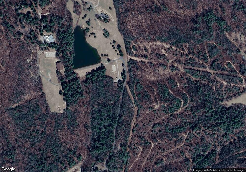
Map
Nearby Homes
- 486 Hunter-Lysik Way
- TBD Parkway Estates Rd
- 0 Laurel Fork Rd
- 280 Smoky Hollow Rd
- 8693 N Carolina 88
- 8693 Nc Hwy 88 Hwy E
- 10697 Nc Highway 88 E
- TBD Big Peak Creek Rd
- 420 Ore Valley Rd
- 555 Ore Valley Rd
- TBD Highway 88
- 15872 N Carolina 18
- TBD Rattlesnake Mountain Rd
- 222 Lakeside Dr
- TBD Elk Knob Rd
- TBD (Lots 13 & 14) Timberwilde Dr
- TBD (13 & 14) Timberwilde Dr
- Lot 18 The Peaks Regal Dr
- 1.013 Acre Free Bird Dr
- 1.013 acres on Free Bird Dr Unit 8
- 490 S Laurel Fork Rd
- 484 S Laurel Fork Rd
- 488 S Laurel Fork Rd
- 460 S Laurel Fork Rd
- 445 S Laurel Fork Rd
- 1166 Smoky Hollow Rd
- 477 Hunter Lysik Way
- 793 S Laurel Fork Rd
- 690 Parkway Estates Rd
- 505 Parkway Estates Rd
- 340 Parkway Estates Rd
- 237 S Laurel Fork Rd
- 0000 Parkway Estates Rd Unit 22A & 22B
- 1170 S Laurel Fork Rd
- 352 Parkway Estates Rd
- 127 S Laurel Fork Rd
- 703 Parkway Estates Rd
- Lot 15 Parkway Estates Rd Unit 15
- 336 Parkway Estates Rd
- 1072 Hunter Lysik Way