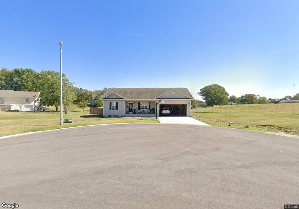
486 Link Dr Poplar Bluff, MO 63901
Estimated Value: $219,328 - $251,000
About This Home
This home is located at 486 Link Dr, Poplar Bluff, MO 63901 and is currently estimated at $236,582, approximately $123 per square foot. 486 Link Dr is a home with nearby schools including Oak Grove Elementary School, Poplar Bluff Fifth & Sixth Grade Center, and Poplar Bluff Junior High School.
Ownership History
We collect this data history from publicly available records. To have your information removed, we recommend requesting removal directly through your county’s website.
Purchase Details
Home Financials for this Owner
Home Financials are based on the most recent Mortgage that was taken out on this home.Purchase Details
Home Financials for this Owner
Home Financials are based on the most recent Mortgage that was taken out on this home.Purchase Details
Home Financials for this Owner
Home Financials are based on the most recent Mortgage that was taken out on this home.Home Values in the Area
Average Home Value in this Area
Purchase History
We collect this data history from publicly available records. To have your information removed, we recommend requesting removal directly through your county’s website.
| Date | Buyer | Sale Price | Title Company |
|---|---|---|---|
| -- | None Listed On Document | ||
| -- | Heritage Title | ||
| -- | Heritage Title | ||
| -- | -- |
Mortgage History
We collect this data history from publicly available records. To have your information removed, we recommend requesting removal directly through your county’s website.
| Date | Status | Borrower | Loan Amount |
|---|---|---|---|
| Open | $175,500 | ||
| Previous Owner | $136,000 | ||
| Previous Owner | $113,625 |
Tax History
We collect this data history from publicly available records. To have your information removed, we recommend requesting removal directly through your county’s website.
| Year | Tax Paid | Tax Assessment Tax Assessment Total Assessment is a certain percentage of the fair market value that is determined by local assessors to be the total taxable value of land and additions on the property. | Land | Improvement |
|---|---|---|---|---|
| 2025 | $1,293 | $29,730 | $0 | $0 |
| 2024 | $1,229 | $27,580 | $0 | $0 |
| 2023 | $1,228 | $27,580 | $0 | $0 |
| 2022 | $1,188 | $26,720 | $0 | $0 |
| 2021 | $1,188 | $26,720 | $0 | $0 |
| 2020 | $1,215 | $26,900 | $0 | $0 |
| 2019 | $1,214 | $26,900 | $0 | $0 |
| 2018 | $1,214 | $26,900 | $0 | $0 |
| 2017 | -- | $26,900 | $0 | $0 |
| 2016 | -- | $26,900 | $0 | $0 |
| 2015 | -- | $26,900 | $0 | $0 |
| 2014 | -- | $25,010 | $0 | $0 |
| 2012 | $952 | $25,010 | $0 | $0 |
Map
- 2802 Virginia Ln
- 5503 Misty Dr
- 1393 Whispering Pine Dr
- 241 Rocky Ridge Ln
- 66 County Road 445
- 0 W Bluff Estates Lot 35 Unit MIS26027382
- Lots 10 & 11 Timberwolf Dr
- 3841 County Road 441
- 0 W
- 0 Bruce Unit MIS26035239
- 7209 Woodland Meadow Dr
- Lot 3 Greenbriar Dr
- 0 County Road 441
- 224 Timber Way Dr
- 224 Timber Ay Dr
- 199 Terrell Ave
- 2013 Tumbleweed Trail
- 547 County Road 448
- 2402 E Victoria Rd
- 177 Antler Trail
- 444 Link Dr
- 3367 Township Line Rd
- 3359 Township Line Rd
- 307 Link Dr
- 547 Link Dr
- 3401 Township Line Rd
- 1149 County Road 442
- 277 Link Dr
- 1095 County Road 442
- 282 Link Dr
- 298 Link Dr
- 242 Link Dr
- 3467 Township Line Rd
- 3422 Township Line Rd
- 4900 Marion Dr
- 4901 Marion Dr
- 6998 Woodland Meadow Dr
- 1404 Victoria Rd
- 1210 Victoria Rd
- 3160 Township Line Rd
Ask me questions while you tour the home.