486 Nurad Rd Athens, OH 45701
Estimated Value: $284,000 - $331,000
3
Beds
3
Baths
2,348
Sq Ft
$133/Sq Ft
Est. Value
About This Home
This home is located at 486 Nurad Rd, Athens, OH 45701 and is currently estimated at $311,839, approximately $132 per square foot. 486 Nurad Rd is a home located in Athens County with nearby schools including Morrison-Gordon Elementary School, Athens Middle School, and Athens High School.
Ownership History
Date
Name
Owned For
Owner Type
Purchase Details
Closed on
Sep 18, 2020
Sold by
Yeago Charles T
Bought by
Yeago Charles T and Charles T Yeago Trust
Current Estimated Value
Home Financials for this Owner
Home Financials are based on the most recent Mortgage that was taken out on this home.
Original Mortgage
$132,416
Interest Rate
2.67%
Mortgage Type
New Conventional
Purchase Details
Closed on
Oct 30, 2017
Sold by
Yeago Charles T and Yeago Charles T
Bought by
Yeago Charles T and Charles T Yeago Trust
Create a Home Valuation Report for This Property
The Home Valuation Report is an in-depth analysis detailing your home's value as well as a comparison with similar homes in the area
Home Values in the Area
Average Home Value in this Area
Purchase History
| Date | Buyer | Sale Price | Title Company |
|---|---|---|---|
| Yeago Charles T | -- | None Available | |
| Yeago Charles T | -- | None Available | |
| Yeago Charles T | -- | Attorney |
Source: Public Records
Mortgage History
| Date | Status | Borrower | Loan Amount |
|---|---|---|---|
| Closed | Yeago Charles T | $132,416 |
Source: Public Records
Tax History Compared to Growth
Tax History
| Year | Tax Paid | Tax Assessment Tax Assessment Total Assessment is a certain percentage of the fair market value that is determined by local assessors to be the total taxable value of land and additions on the property. | Land | Improvement |
|---|---|---|---|---|
| 2024 | $3,757 | $78,270 | $8,160 | $70,110 |
| 2023 | $3,594 | $78,270 | $8,160 | $70,110 |
| 2022 | $2,834 | $60,490 | $7,770 | $52,720 |
| 2021 | $2,846 | $60,490 | $7,770 | $52,720 |
| 2020 | $2,805 | $60,490 | $7,770 | $52,720 |
| 2019 | $2,768 | $59,850 | $6,220 | $53,630 |
| 2018 | $2,733 | $59,850 | $6,220 | $53,630 |
| 2017 | $5,558 | $59,850 | $6,220 | $53,630 |
| 2016 | $2,396 | $54,850 | $6,220 | $48,630 |
| 2015 | $5,242 | $54,850 | $6,220 | $48,630 |
| 2014 | $5,242 | $54,850 | $6,220 | $48,630 |
| 2013 | $4,916 | $52,790 | $6,220 | $46,570 |
Source: Public Records
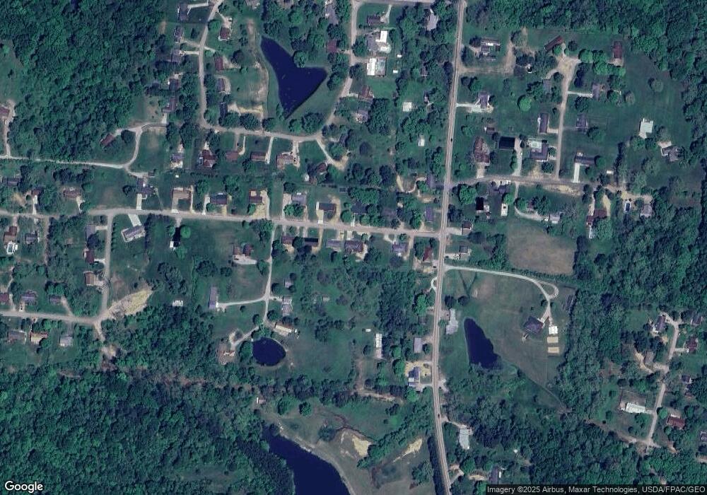
Map
Nearby Homes
- 19 Park Lane Dr
- 68 Leoda Rd
- 255 Estates Dr
- 36 Park Lane Dr
- 180 Park
- 7930 Rolling Hills Rd
- 5610 Fullview Heights Dr
- 7530 Hebbardsville Rd
- 8700 Stagecoach Rd
- 7405 Radford Rd
- 7394 Whitlind Ave
- 8005 Stone Castle Rd
- 7165 E Beechwood Dr
- Lot 19 Rosemary Ln
- Lot 10 Hetherstone
- 7265 Beechwood Dr
- 7036 Woodmere Dr
- 31 Angela Dr
- 6624 Hudnell Rd
- 0 Country Club Rd