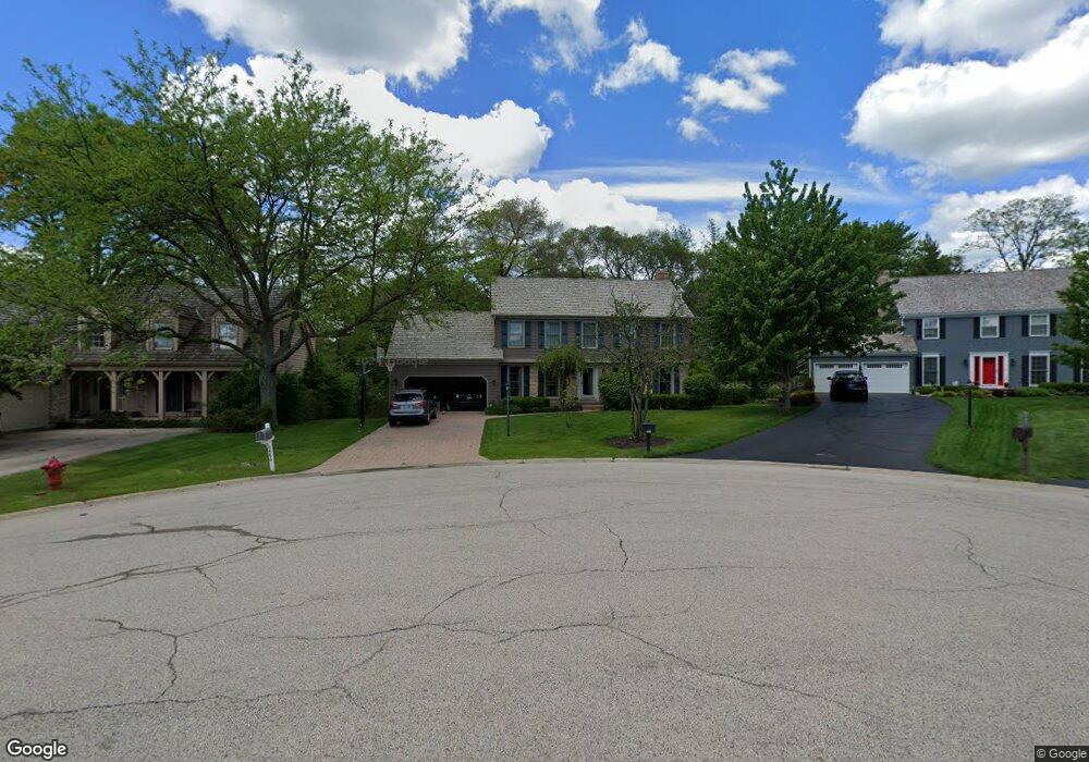
486 Paul Cir Unit 2 Barrington, IL 60010
Estimated Value: $666,313 - $914,000
5
Beds
3
Baths
2,400
Sq Ft
$313/Sq Ft
Est. Value
About This Home
This home is located at 486 Paul Cir Unit 2, Barrington, IL 60010 and is currently estimated at $750,578, approximately $312 per square foot. 486 Paul Cir Unit 2 is a home located in Lake County with nearby schools including Arnett C. Lines Elementary School, Barrington Middle School Station Campus, and Barrington High School.
Ownership History
Date
Name
Owned For
Owner Type
Purchase Details
Closed on
Nov 8, 1997
Sold by
Fisher Kenneth S and Fisher Jennifer H
Bought by
Wardin William K and Wardin Lori A
Current Estimated Value
Home Financials for this Owner
Home Financials are based on the most recent Mortgage that was taken out on this home.
Original Mortgage
$304,895
Interest Rate
7.18%
Purchase Details
Closed on
Aug 7, 1995
Sold by
Taruta Shusuke and Taruta Yuko
Bought by
Fisher Kenneth S and Fisher Jennifer H
Home Financials for this Owner
Home Financials are based on the most recent Mortgage that was taken out on this home.
Original Mortgage
$304,000
Interest Rate
7.81%
Create a Home Valuation Report for This Property
The Home Valuation Report is an in-depth analysis detailing your home's value as well as a comparison with similar homes in the area
Home Values in the Area
Average Home Value in this Area
Purchase History
| Date | Buyer | Sale Price | Title Company |
|---|---|---|---|
| Wardin William K | $359,000 | Chicago Title Insurance Co | |
| Fisher Kenneth S | $380,000 | Preferred Land Title |
Source: Public Records
Mortgage History
| Date | Status | Borrower | Loan Amount |
|---|---|---|---|
| Previous Owner | Wardin William K | $304,895 | |
| Previous Owner | Fisher Kenneth S | $304,000 |
Source: Public Records
Tax History
| Year | Tax Paid | Tax Assessment Tax Assessment Total Assessment is a certain percentage of the fair market value that is determined by local assessors to be the total taxable value of land and additions on the property. | Land | Improvement |
|---|---|---|---|---|
| 2024 | $12,355 | $196,979 | $38,211 | $158,768 |
| 2023 | $12,487 | $169,736 | $32,926 | $136,810 |
| 2022 | $12,487 | $169,348 | $37,249 | $132,099 |
| 2021 | $12,327 | $166,469 | $36,616 | $129,853 |
| 2020 | $12,012 | $165,955 | $36,503 | $129,452 |
| 2019 | $13,043 | $181,906 | $35,540 | $146,366 |
| 2018 | $12,045 | $171,918 | $42,313 | $129,605 |
| 2017 | $11,974 | $168,464 | $41,463 | $127,001 |
| 2016 | $11,801 | $162,109 | $39,899 | $122,210 |
| 2015 | $11,156 | $152,044 | $37,422 | $114,622 |
| 2014 | $9,851 | $128,872 | $26,798 | $102,074 |
| 2012 | $11,042 | $131,088 | $27,259 | $103,829 |
Source: Public Records
Map
Nearby Homes
- 248 Beverly Rd
- 320 Fox Hunt Trail Unit 3
- 902 E Main St
- 534 E Main St
- 123 Kainer Ave
- 141 Kainer Ave
- 131 Walton St
- 319 S Glendale Ave Unit 303
- 319 S Glendale Ave Unit 204
- 206 N Cook St
- 520 Shorely Dr Unit 203
- 520 Shorely Dr Unit 201
- 208 Queens Cove Unit 208
- 418 E Hillside Ave
- 21032 N Crestview Dr
- 720 South St
- 136 Grant St
- 130 Carriage Trail
- 320 W Russell St
- 910 Division St
Your Personal Tour Guide
Ask me questions while you tour the home.