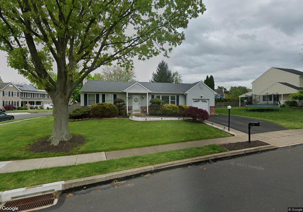
486 Stanford Rd Fairless Hills, PA 19030
Estimated Value: $409,960 - $456,000
2
Beds
2
Baths
1,170
Sq Ft
$362/Sq Ft
Est. Value
About This Home
This home is located at 486 Stanford Rd, Fairless Hills, PA 19030 and is currently estimated at $422,990, approximately $361 per square foot. 486 Stanford Rd is a home located in Bucks County with nearby schools including Truman Senior High School, Faith Baptist Christian Academy, and The Pen Ryn School.
Ownership History
Date
Name
Owned For
Owner Type
Purchase Details
Closed on
Jun 4, 2005
Sold by
Wirth Raymond H and Ruff Barbara A
Bought by
Cosenza Donald M and Cosenza Margaret M
Current Estimated Value
Home Financials for this Owner
Home Financials are based on the most recent Mortgage that was taken out on this home.
Original Mortgage
$159,900
Outstanding Balance
$83,316
Interest Rate
5.73%
Mortgage Type
Fannie Mae Freddie Mac
Estimated Equity
$339,674
Create a Home Valuation Report for This Property
The Home Valuation Report is an in-depth analysis detailing your home's value as well as a comparison with similar homes in the area
Home Values in the Area
Average Home Value in this Area
Purchase History
| Date | Buyer | Sale Price | Title Company |
|---|---|---|---|
| Cosenza Donald M | $229,000 | -- |
Source: Public Records
Mortgage History
| Date | Status | Borrower | Loan Amount |
|---|---|---|---|
| Open | Cosenza Donald M | $159,900 |
Source: Public Records
Tax History Compared to Growth
Tax History
| Year | Tax Paid | Tax Assessment Tax Assessment Total Assessment is a certain percentage of the fair market value that is determined by local assessors to be the total taxable value of land and additions on the property. | Land | Improvement |
|---|---|---|---|---|
| 2025 | $6,789 | $25,000 | $6,040 | $18,960 |
| 2024 | $6,789 | $25,000 | $6,040 | $18,960 |
| 2023 | $6,739 | $25,000 | $6,040 | $18,960 |
| 2022 | $6,739 | $25,000 | $6,040 | $18,960 |
| 2021 | $6,739 | $25,000 | $6,040 | $18,960 |
| 2020 | $6,739 | $25,000 | $6,040 | $18,960 |
| 2019 | $6,714 | $25,000 | $6,040 | $18,960 |
| 2018 | $6,606 | $25,000 | $6,040 | $18,960 |
| 2017 | $6,506 | $25,000 | $6,040 | $18,960 |
| 2016 | $6,506 | $25,000 | $6,040 | $18,960 |
| 2015 | $4,771 | $25,000 | $6,040 | $18,960 |
| 2014 | $4,771 | $25,000 | $6,040 | $18,960 |
Source: Public Records
Map
Nearby Homes
- 225 Yorkshire Rd Unit HIII
- 243 Wyandotte Rd
- 402 Stanford Rd
- 208 Suffolk Rd
- 657 S Queen Anne Dr
- 53 Crestwood Rd
- 114 Nursery Ave
- 125 Nursery Ave
- 14 Cinnamon Rd
- 20 Trellis Rd
- 46 Quill Rd
- 212 Apple St
- 31 Quail Rd
- 47 Cotton Rd
- 23 Crystal Place
- 525 Nel Dr
- 59 Liberty Dr
- 65 Candle Rd
- 61 Liberty Dr
- 331 Doone Place
- 401 Welsford Rd
- 484 Stanford Rd
- 505 Stanford Rd
- 503 Stanford Rd
- 499 Stanford Rd
- 508 Stanford Rd
- 403 Welsford Rd
- 501 Stanford Rd
- 507 Stanford Rd
- 482 Stanford Rd
- 497 Stanford Rd
- 400 Welsford Rd
- 510 Stanford Rd
- 405 Welsford Rd
- 1 Hedgerow Dr
- 509 Stanford Rd
- 495 Stanford Rd
- 402 Welsford Rd
- 512 Stanford Rd
- 200 Welsford Rd