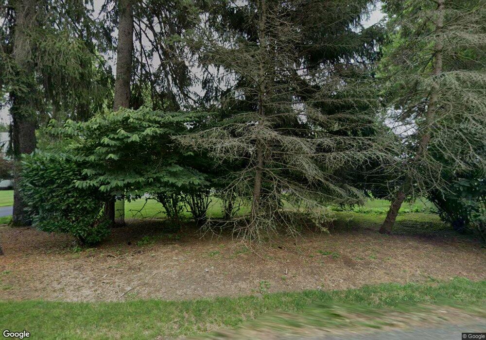
486 Strawtown Rd West Nyack, NY 10994
Estimated Value: $1,275,000 - $4,334,000
4
Beds
6
Baths
6,492
Sq Ft
$352/Sq Ft
Est. Value
About This Home
This home is located at 486 Strawtown Rd, West Nyack, NY 10994 and is currently estimated at $2,286,844, approximately $352 per square foot. 486 Strawtown Rd is a home located in Rockland County with nearby schools including Strawtown Elementary School, Felix Festa Middle School, and Clarkstown High School South.
Ownership History
Date
Name
Owned For
Owner Type
Purchase Details
Closed on
Jan 23, 2006
Sold by
Rowland Christopher J and Rowland Doreen E
Bought by
Aglialoro Michael and Aglialoro Mercedes
Current Estimated Value
Home Financials for this Owner
Home Financials are based on the most recent Mortgage that was taken out on this home.
Original Mortgage
$1,864,500
Outstanding Balance
$1,015,469
Interest Rate
5.75%
Mortgage Type
Fannie Mae Freddie Mac
Estimated Equity
$1,271,375
Create a Home Valuation Report for This Property
The Home Valuation Report is an in-depth analysis detailing your home's value as well as a comparison with similar homes in the area
Home Values in the Area
Average Home Value in this Area
Purchase History
| Date | Buyer | Sale Price | Title Company |
|---|---|---|---|
| Aglialoro Michael | $3,107,500 | Chicago Title Insurance Co |
Source: Public Records
Mortgage History
| Date | Status | Borrower | Loan Amount |
|---|---|---|---|
| Open | Aglialoro Michael | $1,864,500 |
Source: Public Records
Tax History Compared to Growth
Tax History
| Year | Tax Paid | Tax Assessment Tax Assessment Total Assessment is a certain percentage of the fair market value that is determined by local assessors to be the total taxable value of land and additions on the property. | Land | Improvement |
|---|---|---|---|---|
| 2024 | $52,511 | $453,300 | $63,100 | $390,200 |
| 2023 | $52,511 | $453,300 | $63,100 | $390,200 |
| 2022 | $56,279 | $453,300 | $63,100 | $390,200 |
| 2021 | $56,279 | $601,400 | $63,100 | $538,300 |
| 2020 | $56,998 | $601,400 | $63,100 | $538,300 |
| 2019 | $54,910 | $601,400 | $63,100 | $538,300 |
| 2018 | $54,910 | $601,400 | $63,100 | $538,300 |
| 2017 | $53,657 | $601,400 | $63,100 | $538,300 |
| 2016 | $53,178 | $601,400 | $63,100 | $538,300 |
| 2015 | -- | $601,400 | $63,100 | $538,300 |
| 2014 | -- | $601,400 | $63,100 | $538,300 |
Source: Public Records
Map
Nearby Homes
- 210 Parrott Rd
- 265 Brewery Rd
- 350 Boxberger Rd
- 329 Strawtown Rd
- 158 Parrott Rd
- 28 Cardinal Ct
- 8 Fieldstone Ct
- 27 Maiden Ln
- 422 Kings Hwy
- 128 Laurel Rd
- 16 Oak Spring Rd
- 435 Kings Hwy
- 1 Florence Ct
- 99 Shetland Dr
- 1 Deforest Ct
- 114 Shetland Dr
- 11 Kendall Dr
- 31 Park Terrace
- 51 Laurel Rd
- 192 Strawtown Rd
- 484 Strawtown Rd
- 488 Strawtown Rd
- 483 Strawtown Rd
- 480 Strawtown Rd
- 479 Strawtown Rd
- 487 Strawtown Rd
- 3 Bow Ct
- 434 Strawtown Rd
- 112 Robin Hood Ln
- 430 Strawtown Rd
- 110 Robinhood Ln
- 498 Strawtown Rd
- 2 Bow Ct
- 493 Strawtown Rd
- 468 Strawtown Rd
- 106 Robin Hood Ln
- 111 Robin Hood Ln
- 507 Strawtown Rd
- 454 Strawtown Rd
- 109 Robin Hood Ln
