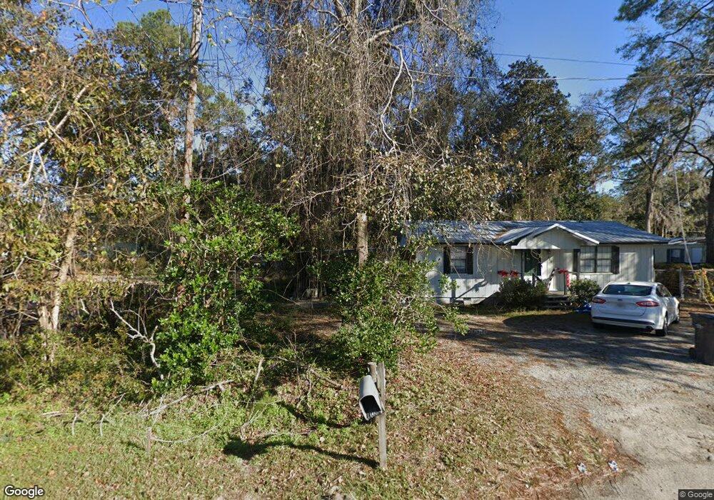
486 Talmadge Rd Allenhurst, GA 31301
Estimated Value: $85,000 - $170,000
2
Beds
1
Bath
720
Sq Ft
$173/Sq Ft
Est. Value
About This Home
This home is located at 486 Talmadge Rd, Allenhurst, GA 31301 and is currently estimated at $124,783, approximately $173 per square foot. 486 Talmadge Rd is a home located in Liberty County with nearby schools including Frank Long Elementary School, Lewis Frasier Middle School, and Liberty County High School.
Ownership History
Date
Name
Owned For
Owner Type
Purchase Details
Closed on
Nov 8, 2019
Sold by
Highsmith Stanley
Bought by
Mcknight Matthew
Current Estimated Value
Purchase Details
Closed on
Aug 14, 2019
Sold by
Mcknight Jeremy
Bought by
Highsmith Stanley
Purchase Details
Closed on
Apr 20, 2018
Sold by
The Heritage Bank
Bought by
Sphar Virginia Lavay
Purchase Details
Closed on
Oct 25, 2007
Sold by
Secretary Of Veterans Affairs
Bought by
Sphar Lavay Virginia
Purchase Details
Closed on
Jun 6, 2006
Sold by
Midfirst Bank
Bought by
Sec Of Veterans Affairs
Purchase Details
Closed on
Nov 6, 1986
Bought by
Cooke Richard W
Create a Home Valuation Report for This Property
The Home Valuation Report is an in-depth analysis detailing your home's value as well as a comparison with similar homes in the area
Home Values in the Area
Average Home Value in this Area
Purchase History
| Date | Buyer | Sale Price | Title Company |
|---|---|---|---|
| Mcknight Matthew | -- | -- | |
| Highsmith Stanley | $37,000 | -- | |
| Sphar Virginia Lavay | -- | -- | |
| Mcknight Jeremy | $15,000 | -- | |
| Sphar Lavay Virginia | $148,500 | -- | |
| Sec Of Veterans Affairs | $38,700 | -- | |
| Midfirst Bank | $38,700 | -- | |
| Cooke Richard W | $2,500 | -- |
Source: Public Records
Tax History Compared to Growth
Tax History
| Year | Tax Paid | Tax Assessment Tax Assessment Total Assessment is a certain percentage of the fair market value that is determined by local assessors to be the total taxable value of land and additions on the property. | Land | Improvement |
|---|---|---|---|---|
| 2024 | $677 | $16,050 | $2,606 | $13,444 |
| 2023 | $677 | $14,654 | $2,606 | $12,048 |
| 2022 | $477 | $12,013 | $2,084 | $9,929 |
| 2021 | $443 | $11,173 | $2,084 | $9,089 |
| 2020 | $452 | $11,350 | $2,084 | $9,266 |
| 2019 | $240 | $11,527 | $2,084 | $9,443 |
| 2018 | $448 | $11,704 | $2,084 | $9,620 |
| 2017 | $504 | $11,881 | $2,084 | $9,797 |
| 2016 | $430 | $12,058 | $2,084 | $9,974 |
| 2015 | $437 | $11,577 | $1,604 | $9,974 |
| 2014 | $437 | $12,132 | $1,604 | $10,528 |
| 2013 | -- | $10,342 | $594 | $9,747 |
Source: Public Records
Map
Nearby Homes
- 1105 Buckhead Loop
- 129 Vandiver Rd
- 127 Busbee Rd
- 801 Talmadge Rd
- 311 Strickland Rd
- 34 Beaumont Dr
- 48 Beaumont Dr
- 28 Beaumont Dr
- 324 Boundary Hall Way
- 98 Boundary Hall Way
- 52 Boundary Hall Way
- 246 Boundary Hall Way
- 118 Boundary Hall Way
- 38 Boundary Hall Way
- 81 Boundary Hall Way
- 52 Hollis Rd
- 1105 Buckhead Loop SE
- 444 Hardman Rd
- 3470 Arnold Dr
- 0 Arnold Dr
- 128 Arnall Dr
- 564 Talmadge Road - Unit 73
- 564 Talmadge Road - Unit 88
- 564 Talmadge Rd Unit 4
- 564 Talmadge Rd
- 564 Talmadge Road - Unit 63
- 133 Arnall Dr
- 416 Talmadge Rd
- 96 Arnall Dr
- 404 Talmadge Rd
- 34 Sanders Rd
- 109 Arnall Dr
- 300 Arnall Dr
- 189 Arnall Dr
- 14 Griffin Rd
- 374 Talmadge Rd
- 235 Arnall Dr
- 54 Arnold Dr