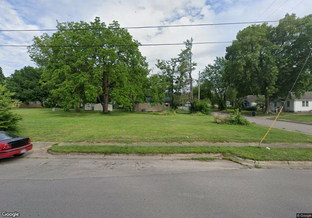
486 W Pierce St Lebanon, MO 65536
Estimated Value: $32,000 - $174,000
2
Beds
--
Bath
944
Sq Ft
$93/Sq Ft
Est. Value
About This Home
This home is located at 486 W Pierce St, Lebanon, MO 65536 and is currently estimated at $87,690, approximately $92 per square foot. 486 W Pierce St is a home located in Laclede County with nearby schools including Joe D. Esther Elementary School, Maplecrest Elementary School, and Boswell Elementary School.
Ownership History
Date
Name
Owned For
Owner Type
Purchase Details
Closed on
Jul 15, 2019
Sold by
Cope
Bought by
Lacledre Heating & Air Inc
Current Estimated Value
Purchase Details
Closed on
Jan 22, 2018
Sold by
Cope
Bought by
City Of Lebanon
Purchase Details
Closed on
Nov 14, 2014
Sold by
Wells Fargo Financial Missouri Inc
Bought by
Council To Prevent Family Violence Of La
Purchase Details
Closed on
Apr 28, 2014
Sold by
Williams Jerry W
Bought by
Wells Fargo Financial Missouri Inc
Purchase Details
Closed on
Dec 26, 2013
Sold by
Williams Darrell E
Bought by
Wells Fargo Financial Missouri Inc
Create a Home Valuation Report for This Property
The Home Valuation Report is an in-depth analysis detailing your home's value as well as a comparison with similar homes in the area
Home Values in the Area
Average Home Value in this Area
Purchase History
| Date | Buyer | Sale Price | Title Company |
|---|---|---|---|
| Lacledre Heating & Air Inc | -- | Hogan Land Title | |
| City Of Lebanon | -- | None Available | |
| Council To Prevent Family Violence Of La | -- | Servicelink | |
| Wells Fargo Financial Missouri Inc | -- | None Available | |
| Wells Fargo Financial Missouri Inc | $500 | None Available |
Source: Public Records
Tax History Compared to Growth
Tax History
| Year | Tax Paid | Tax Assessment Tax Assessment Total Assessment is a certain percentage of the fair market value that is determined by local assessors to be the total taxable value of land and additions on the property. | Land | Improvement |
|---|---|---|---|---|
| 2025 | -- | $0 | $0 | $0 |
| 2024 | -- | $0 | $0 | $0 |
| 2023 | -- | $0 | $0 | $0 |
| 2022 | $70 | $0 | $0 | $0 |
| 2021 | $70 | $0 | $0 | $0 |
| 2020 | $70 | $0 | $0 | $0 |
| 2019 | $70 | $1,350 | $1,350 | $0 |
| 2018 | $0 | $1,350 | $1,350 | $0 |
| 2017 | $294 | $0 | $0 | $0 |
| 2016 | $294 | $0 | $0 | $0 |
| 2015 | $294 | $1,350 | $0 | $0 |
| 2014 | $294 | $5,700 | $0 | $0 |
| 2013 | -- | $5,700 | $0 | $0 |
Source: Public Records
Map
Nearby Homes
- 545 W Pierce St
- 406 Perry St
- 704 W 2nd St
- 100 State Highway 32
- 14300 State Highway 32
- 22781 U S Route 66
- 000 #25 U S Route 66
- 000-#72 U S Route 66
- 000#72 U S Route 66
- 000#25 U S Route 66
- 286 Polk Ave
- 31 Greenwood Dr
- 22 Stanwood Dr
- 387 Harrison St
- 639 W 4th St
- 475 Harrison St
- Lot 20 Missouri 64
- 1719 State Hwy 64
- 015 Missouri 64
- Lot 19 Missouri 64
- 474 & 486 Pierce St
- 474 W Pierce St
- 311 Clough St
- 462 W Pierce St
- 335 Clough St
- 323 Clough St
- 458 W Pierce St Unit 446
- 487 W Pierce St
- 285 Clough St
- 532 W Pierce St
- 477 W Pierce St
- 319 Clough St
- 275 Clough St
- 533 W Pierce St
- 544 W Pierce St
- 457 W Pierce St
- 387 Clough St
- 445 W Pierce St
- 485 W Hayes St
- 548 W Pierce St